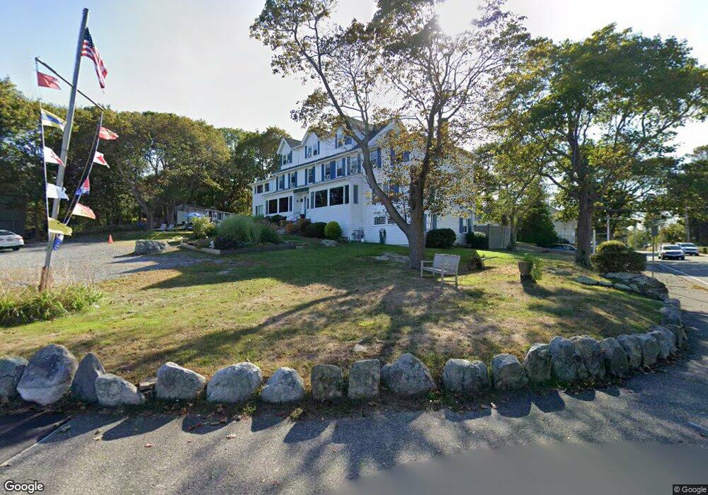
1 Nautilus Rd Gloucester, MA 01930
East Gloucester NeighborhoodEstimated Value: $32,210,788
6
Beds
--
Bath
6,855
Sq Ft
$4,699/Sq Ft
Est. Value
About This Home
This home is located at 1 Nautilus Rd, Gloucester, MA 01930 and is currently estimated at $32,210,788, approximately $4,698 per square foot. 1 Nautilus Rd is a home located in Essex County with nearby schools including East Gloucester Elementary School, Ralph B O'maley Middle School, and Gloucester High School.
Ownership History
Date
Name
Owned For
Owner Type
Purchase Details
Closed on
Feb 12, 2007
Sold by
Giglio Joseph J and Giglio Mary K
Bought by
Cs Blue Shutters Inn L
Current Estimated Value
Home Financials for this Owner
Home Financials are based on the most recent Mortgage that was taken out on this home.
Original Mortgage
$400,000
Interest Rate
6.22%
Mortgage Type
Commercial
Create a Home Valuation Report for This Property
The Home Valuation Report is an in-depth analysis detailing your home's value as well as a comparison with similar homes in the area
Home Values in the Area
Average Home Value in this Area
Purchase History
| Date | Buyer | Sale Price | Title Company |
|---|---|---|---|
| Cs Blue Shutters Inn L | $16,000,000 | -- |
Source: Public Records
Mortgage History
| Date | Status | Borrower | Loan Amount |
|---|---|---|---|
| Open | Cs Blue Shutters Inn L | $408,000 | |
| Closed | Cs Blue Shutters Inn L | $400,000 |
Source: Public Records
Tax History
| Year | Tax Paid | Tax Assessment Tax Assessment Total Assessment is a certain percentage of the fair market value that is determined by local assessors to be the total taxable value of land and additions on the property. | Land | Improvement |
|---|---|---|---|---|
| 2025 | $17,638 | $1,814,600 | $1,169,700 | $644,900 |
| 2024 | $19,386 | $1,758,900 | $1,114,000 | $644,900 |
| 2023 | $0 | $1,636,500 | $994,200 | $642,300 |
| 2022 | $0 | $1,507,100 | $864,800 | $642,300 |
| 2021 | $0 | $1,521,700 | $786,700 | $735,000 |
| 2020 | $19,386 | $1,521,700 | $786,700 | $735,000 |
| 2019 | $0 | $1,508,800 | $786,700 | $722,100 |
| 2018 | $0 | $1,496,000 | $786,700 | $709,300 |
| 2017 | $0 | $1,355,600 | $748,900 | $606,700 |
| 2016 | -- | $1,349,400 | $748,400 | $601,000 |
| 2015 | -- | $1,349,400 | $748,400 | $601,000 |
Source: Public Records
Map
Nearby Homes
- 70 Bass Ave
- 26 Marina Dr
- 3 Mondello Square
- 78 Thatcher Rd Unit 6
- 11 Wall St Unit R
- 36 Eastern Ave
- 25 Salt Island Rd
- 32 Witham St Unit B
- 197 E Main St Unit 1
- 21 Marble Rd
- 23 Mount Vernon St
- 14R Spring St Unit 3
- 10 Seaview Rd
- 60 Rocky Neck Ave Unit 202
- 73 Rocky Neck Ave Unit 2
- 50 Warner St
- 191 Main St Unit 3
- 191 Main St Unit 2A
- 1 Wonson St
- 113 Pleasant St
Your Personal Tour Guide
Ask me questions while you tour the home.