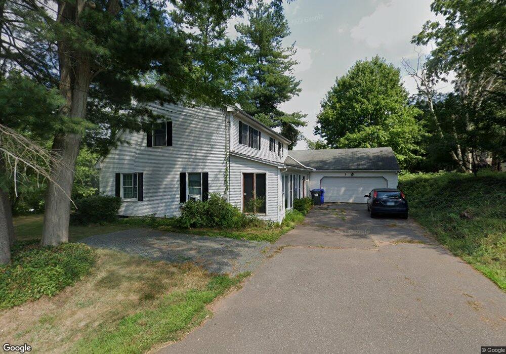
1 Neiderwerfer Rd Broad Brook, CT 06016
Estimated Value: $445,000 - $540,000
4
Beds
3
Baths
2,335
Sq Ft
$213/Sq Ft
Est. Value
About This Home
This home is located at 1 Neiderwerfer Rd, Broad Brook, CT 06016 and is currently estimated at $498,064, approximately $213 per square foot. 1 Neiderwerfer Rd is a home located in Hartford County with nearby schools including Broad Brook Elementary School, East Windsor Middle School, and East Windsor High School.
Ownership History
Date
Name
Owned For
Owner Type
Purchase Details
Closed on
Sep 6, 2022
Sold by
Hill Matthew
Bought by
Matthew Hill T and Matthew Hill
Current Estimated Value
Purchase Details
Closed on
Jan 17, 2006
Sold by
Est Birtles Mary and White Mary
Bought by
Hill Matthew
Home Financials for this Owner
Home Financials are based on the most recent Mortgage that was taken out on this home.
Original Mortgage
$179,925
Interest Rate
6.28%
Create a Home Valuation Report for This Property
The Home Valuation Report is an in-depth analysis detailing your home's value as well as a comparison with similar homes in the area
Home Values in the Area
Average Home Value in this Area
Purchase History
| Date | Buyer | Sale Price | Title Company |
|---|---|---|---|
| Matthew Hill T | -- | None Available | |
| Matthew Hill T | -- | None Available | |
| Hill Matthew | $239,900 | -- | |
| Hill Matthew | $239,900 | -- |
Source: Public Records
Mortgage History
| Date | Status | Borrower | Loan Amount |
|---|---|---|---|
| Previous Owner | Hill Matthew | $179,925 |
Source: Public Records
Tax History Compared to Growth
Tax History
| Year | Tax Paid | Tax Assessment Tax Assessment Total Assessment is a certain percentage of the fair market value that is determined by local assessors to be the total taxable value of land and additions on the property. | Land | Improvement |
|---|---|---|---|---|
| 2025 | $7,655 | $288,960 | $74,150 | $214,810 |
| 2024 | $7,097 | $288,960 | $74,150 | $214,810 |
| 2023 | $5,532 | $161,390 | $46,080 | $115,310 |
| 2022 | $6,196 | $161,390 | $46,080 | $115,310 |
| 2021 | $5,568 | $161,390 | $46,080 | $115,310 |
| 2020 | $5,603 | $161,390 | $46,080 | $115,310 |
| 2019 | $5,528 | $161,390 | $46,080 | $115,310 |
| 2018 | $5,471 | $161,390 | $46,080 | $115,310 |
| 2017 | $6,758 | $206,210 | $57,210 | $149,000 |
| 2016 | $6,362 | $205,680 | $57,210 | $148,470 |
| 2015 | $6,234 | $205,680 | $57,210 | $148,470 |
| 2014 | $6,125 | $205,680 | $57,210 | $148,470 |
Source: Public Records
Map
Nearby Homes
- 42 Barber Hill Rd
- 40 Barber Hill Rd
- 40 + 42 Barber Hill Rd
- 72 Rockville Rd
- 0 Thrall Rd Unit 24150600
- 4 Jessie Ln
- 1 Abbott Rd Unit 3
- 1 Abbott Rd Unit 153
- 1 Abbott Rd Unit 128
- 77 Thrall Rd
- 555 Graham Rd
- 183 Chamberlain Rd
- 455 Graham Rd
- 145 Farmstead Dr
- 20 Apothecaries Hall Rd
- 0 Chamberlain Rd Unit 24129492
- 655 Talcottville Rd Unit 45
- 33 Ash Rd
- 1 Farm Brook Ln
- 835 Foster Street Extension
- 133 Rockville Rd
- 135 Rockville Rd
- 2 Matthew Ln
- 13 Neiderwerfer Rd
- 126 Rockville Rd
- 139 Rockville Rd
- 12 Neiderwerfer Rd
- 140 Rockville Rd
- 140 Rockville Rd
- 4 Matthew Ln
- 125 Rockville Rd
- 143 Rockville Rd
- 2 Griffin Rd
- 144 Rockville Rd
- 6 Matthew Ln
- 5 Matthew Ln
- 5 Griffin Rd
- 18 Neiderwerfer Rd
- 121 Rockville Rd
- 10 Matthew Ln