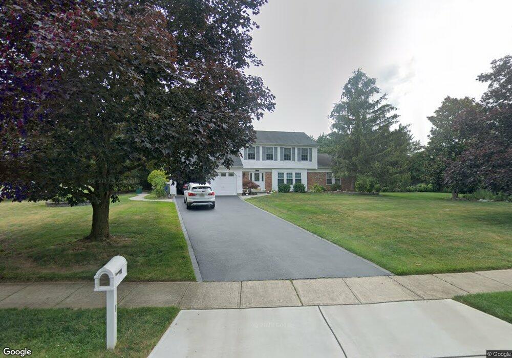
1 Newport Dr Manalapan, NJ 07726
Estimated Value: $782,000 - $856,000
3
Beds
3
Baths
2,134
Sq Ft
$389/Sq Ft
Est. Value
About This Home
This home is located at 1 Newport Dr, Manalapan, NJ 07726 and is currently estimated at $830,266, approximately $389 per square foot. 1 Newport Dr is a home located in Monmouth County with nearby schools including Lafayette Mills Elementary School, Pine Brook Elementary School, and Manalapan-Englishtown Middle School.
Ownership History
Date
Name
Owned For
Owner Type
Purchase Details
Closed on
Oct 28, 2002
Sold by
Mccann Anne
Bought by
Connors Robert and Connors Kathy
Current Estimated Value
Home Financials for this Owner
Home Financials are based on the most recent Mortgage that was taken out on this home.
Original Mortgage
$100,000
Interest Rate
6.17%
Create a Home Valuation Report for This Property
The Home Valuation Report is an in-depth analysis detailing your home's value as well as a comparison with similar homes in the area
Home Values in the Area
Average Home Value in this Area
Purchase History
| Date | Buyer | Sale Price | Title Company |
|---|---|---|---|
| Connors Robert | $330,000 | -- |
Source: Public Records
Mortgage History
| Date | Status | Borrower | Loan Amount |
|---|---|---|---|
| Previous Owner | Connors Robert | $100,000 |
Source: Public Records
Tax History Compared to Growth
Tax History
| Year | Tax Paid | Tax Assessment Tax Assessment Total Assessment is a certain percentage of the fair market value that is determined by local assessors to be the total taxable value of land and additions on the property. | Land | Improvement |
|---|---|---|---|---|
| 2025 | $12,164 | $772,200 | $386,300 | $385,900 |
| 2024 | $11,851 | $720,600 | $362,600 | $358,000 |
| 2023 | $11,851 | $712,200 | $362,600 | $349,600 |
| 2022 | $11,370 | $650,500 | $317,600 | $332,900 |
| 2021 | $11,370 | $547,700 | $251,600 | $296,100 |
| 2020 | $10,990 | $535,300 | $216,600 | $318,700 |
| 2019 | $10,892 | $530,000 | $222,000 | $308,000 |
| 2018 | $10,657 | $515,600 | $222,000 | $293,600 |
| 2017 | $10,084 | $488,100 | $207,000 | $281,100 |
| 2016 | $9,702 | $475,100 | $197,600 | $277,500 |
| 2015 | $9,645 | $467,300 | $208,000 | $259,300 |
| 2014 | $9,404 | $443,600 | $170,700 | $272,900 |
Source: Public Records
Map
Nearby Homes
- 8 Derek Ct
- 9 Cherry Hill Ln
- 1 Briar Hill Dr
- 4 Monterey Ln
- 1 Princeton Dr
- 32 Devon Dr
- 124 Taylors Mills Rd
- 25 Briar Hill Dr
- 294 Century Way
- 37 Pease Rd
- 437 Dorchester Way
- 191 Us Highway 9 Unit 14
- 4 Maxwell Ln
- 47 Gainsborough Ct
- 225 Century Way
- 16 Timber Ln
- 9 Gainsborough Ct
- 13 Greenfield Rd
- 102 Blue Jay Ct
- 11 Narrowbrook Ct
- 74 Alexandria Dr
- 1 Abilene Ln
- 3 Abilene Ln
- 70 Alexandria Dr
- 6 Newport Dr
- 76 Alexandria Dr
- 59 Alexandria Dr
- 61 Alexandria Dr
- 5 Abilene Ln
- 8 Newport Dr
- 57 Alexandria Dr
- 63 Alexandria Dr
- 78 Alexandria Dr
- 7 Abilene Ln
- 55 Alexandria Dr
- 10 Newport Dr
- 68 Alexandria Dr
- 13 Newport Dr
- 80 Alexandria Dr
- 4 Abilene Ln