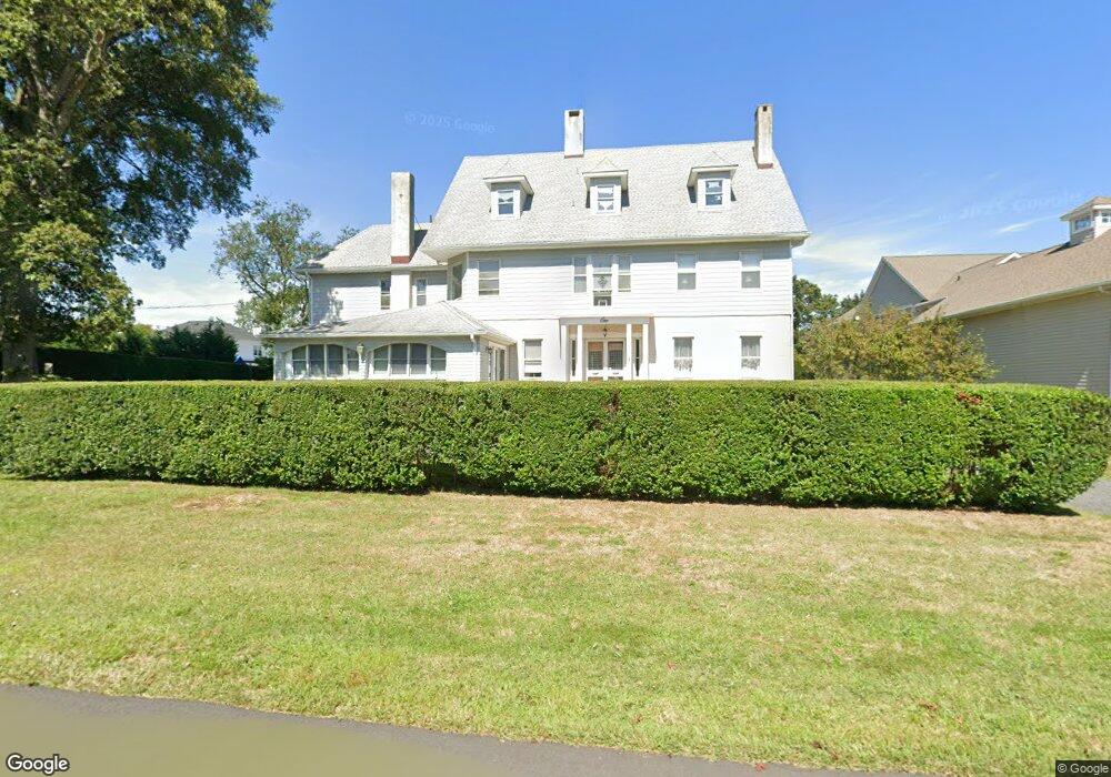
1 Nicholson Place Oceanport, NJ 07757
Estimated Value: $1,782,357 - $2,439,000
4
Beds
3
Baths
6,959
Sq Ft
$291/Sq Ft
Est. Value
About This Home
This home is located at 1 Nicholson Place, Oceanport, NJ 07757 and is currently estimated at $2,024,839, approximately $290 per square foot. 1 Nicholson Place is a home located in Monmouth County with nearby schools including Wolf Hill Elementary School, Maple Place Elementary and Middle School, and Shore Regional High School.
Ownership History
Date
Name
Owned For
Owner Type
Purchase Details
Closed on
Jun 28, 1996
Sold by
Fister Edward
Bought by
Carnevale Gerard and Carnevale Tina
Current Estimated Value
Home Financials for this Owner
Home Financials are based on the most recent Mortgage that was taken out on this home.
Original Mortgage
$170,000
Outstanding Balance
$12,007
Interest Rate
7.98%
Estimated Equity
$2,012,832
Create a Home Valuation Report for This Property
The Home Valuation Report is an in-depth analysis detailing your home's value as well as a comparison with similar homes in the area
Home Values in the Area
Average Home Value in this Area
Purchase History
| Date | Buyer | Sale Price | Title Company |
|---|---|---|---|
| Carnevale Gerard | $295,000 | -- |
Source: Public Records
Mortgage History
| Date | Status | Borrower | Loan Amount |
|---|---|---|---|
| Open | Carnevale Gerard | $170,000 |
Source: Public Records
Tax History Compared to Growth
Tax History
| Year | Tax Paid | Tax Assessment Tax Assessment Total Assessment is a certain percentage of the fair market value that is determined by local assessors to be the total taxable value of land and additions on the property. | Land | Improvement |
|---|---|---|---|---|
| 2025 | $18,602 | $1,254,800 | $462,800 | $792,000 |
| 2024 | $18,810 | $1,178,100 | $422,800 | $755,300 |
| 2023 | $18,810 | $1,130,400 | $412,800 | $717,600 |
| 2022 | $18,642 | $1,014,500 | $382,800 | $631,700 |
| 2021 | $18,642 | $978,600 | $377,800 | $600,800 |
| 2020 | $17,609 | $963,300 | $372,800 | $590,500 |
| 2019 | $16,978 | $942,700 | $372,800 | $569,900 |
| 2018 | $16,743 | $935,900 | $372,800 | $563,100 |
| 2017 | $16,999 | $788,100 | $214,500 | $573,600 |
| 2016 | $16,677 | $778,200 | $215,500 | $562,700 |
| 2015 | $15,735 | $758,700 | $210,500 | $548,200 |
| 2014 | $15,695 | $767,500 | $260,500 | $507,000 |
Source: Public Records
Map
Nearby Homes
- 8 Pocahontas Ave
- 580 Patten Ave Unit 48
- 580 Patten Ave Unit 62
- 580 Patten Ave Unit 86
- 580 Patten Ave Unit 31
- 5 Marine Place
- 28 Patten Ln
- 16 Shore Dr
- 15 Signal Ave
- 165 Kingsley St
- 164 Airsdale Ave
- 15 Airsdale Ave
- 392 Florence Ave
- 66 Shrewsbury Ave
- 8 Mann Ct
- 154 Atlantic Ave
- 7 Manahassett Park Dr
- 9 Manahassett Park Dr
- 323 Florence Ave
- 13 Morris Place
- 151 Comanche Dr
- 9 Nicholson Place
- 147 Comanche Dr
- 155 Comanche Dr
- 14 Nicholson Place
- 157 Comanche Dr
- 8 Nicholson Place
- 135 Comanche Dr
- 152 Comanche Dr
- 50 Wardell Cir
- 4 Horicon Ave
- 161 Comanche Dr
- 140 Comanche Dr
- 47 Wardell Cir
- 4 Pocahontas Ave
- 55 Wardell Cir
- 133 Comanche Dr
- 56 Wardell Cir
- 6 Horicon Ave
- 15 Pocahontas Ave