1 Norman Ln Darien, CT 06820
Estimated Value: $1,104,000 - $1,189,000
3
Beds
3
Baths
1,450
Sq Ft
$798/Sq Ft
Est. Value
About This Home
This home is located at 1 Norman Ln, Darien, CT 06820 and is currently estimated at $1,156,477, approximately $797 per square foot. 1 Norman Ln is a home located in Fairfield County with nearby schools including Royle Elementary School, Middlesex Middle School, and Darien High School.
Ownership History
Date
Name
Owned For
Owner Type
Purchase Details
Closed on
Dec 14, 2020
Sold by
Hou Chunxiao and Li Yanan
Bought by
Sweeney Ryan
Current Estimated Value
Purchase Details
Closed on
Apr 21, 2017
Sold by
Cattano Kathleen
Bought by
Hou Chunxiao and Li Yanan
Home Financials for this Owner
Home Financials are based on the most recent Mortgage that was taken out on this home.
Original Mortgage
$430,000
Interest Rate
4.21%
Mortgage Type
Purchase Money Mortgage
Create a Home Valuation Report for This Property
The Home Valuation Report is an in-depth analysis detailing your home's value as well as a comparison with similar homes in the area
Home Values in the Area
Average Home Value in this Area
Purchase History
| Date | Buyer | Sale Price | Title Company |
|---|---|---|---|
| Sweeney Ryan | $705,000 | None Available | |
| Hou Chunxiao | $722,000 | -- |
Source: Public Records
Mortgage History
| Date | Status | Borrower | Loan Amount |
|---|---|---|---|
| Previous Owner | Hou Chunxiao | $430,000 |
Source: Public Records
Tax History
| Year | Tax Paid | Tax Assessment Tax Assessment Total Assessment is a certain percentage of the fair market value that is determined by local assessors to be the total taxable value of land and additions on the property. | Land | Improvement |
|---|---|---|---|---|
| 2025 | $9,540 | $616,280 | $0 | $616,280 |
| 2024 | $9,053 | $616,280 | $0 | $616,280 |
| 2023 | $9,016 | $511,980 | $0 | $511,980 |
| 2022 | $8,821 | $511,980 | $0 | $511,980 |
| 2021 | $7,865 | $467,040 | $0 | $467,040 |
| 2020 | $7,627 | $467,040 | $0 | $467,040 |
| 2019 | $7,692 | $467,040 | $0 | $467,040 |
| 2018 | $8,077 | $502,320 | $0 | $502,320 |
| 2017 | $8,117 | $502,320 | $0 | $502,320 |
| 2016 | $7,922 | $502,320 | $0 | $502,320 |
| 2015 | $7,711 | $502,320 | $0 | $502,320 |
| 2014 | $7,540 | $502,320 | $0 | $502,320 |
Source: Public Records
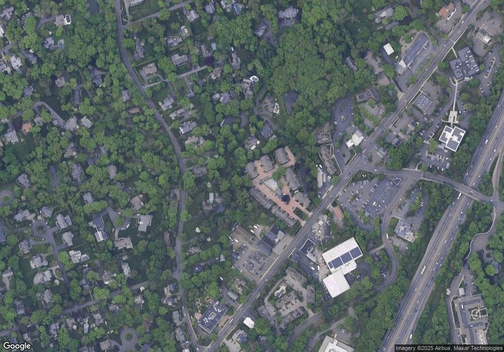
Map
Nearby Homes
- 6 Ward Ln Unit 6
- 17 Pine Brook Ln Unit 17
- 20 Locust Hill Rd
- 10 Stony Brook Rd
- 97 Richards Ave Unit B10
- 97 Richards Ave Unit E12
- 105 Richards Ave Unit 1407
- 146 Ridge Acres Rd
- 14 5 Mile River Rd
- 9 Arnold Ln
- 6 Acorn Ln
- 40 Arnold Ln
- 10 Cross Rd
- 9 Hollow Spring Rd
- 5 Little Brook Rd
- 5 Shields Ln
- 133 Rowayton Woods Dr
- 7 Tommys Ln
- 18 Tokeneke Trail
- 2 Rochelle Rd
Your Personal Tour Guide
Ask me questions while you tour the home.