1 Nottingham Cir Spencer, MA 01562
Estimated Value: $619,073 - $762,000
2
Beds
2
Baths
2,199
Sq Ft
$307/Sq Ft
Est. Value
About This Home
This home is located at 1 Nottingham Cir, Spencer, MA 01562 and is currently estimated at $675,518, approximately $307 per square foot. 1 Nottingham Cir is a home located in Worcester County with nearby schools including David Prouty High School.
Ownership History
Date
Name
Owned For
Owner Type
Purchase Details
Closed on
Nov 12, 2008
Sold by
Countrywide Gp Llc
Bought by
Nathan Cheryl and Nathan Martin
Current Estimated Value
Purchase Details
Closed on
Sep 26, 2008
Sold by
Countrywide Home Servi and Santospago Arnold F
Bought by
Bank Of New York
Purchase Details
Closed on
Aug 9, 1999
Sold by
Doherty Edward J and Doherty Joyce
Bought by
Santospago Arnold F and Santospago Caroline
Purchase Details
Closed on
Dec 30, 1997
Sold by
Williams Alfred R
Bought by
Doherty Edward and Doherty Joyce
Create a Home Valuation Report for This Property
The Home Valuation Report is an in-depth analysis detailing your home's value as well as a comparison with similar homes in the area
Home Values in the Area
Average Home Value in this Area
Purchase History
| Date | Buyer | Sale Price | Title Company |
|---|---|---|---|
| Nathan Cheryl | $325,000 | -- | |
| Bank Of New York | $343,600 | -- | |
| Santospago Arnold F | $88,000 | -- | |
| Doherty Edward | $89,900 | -- |
Source: Public Records
Mortgage History
| Date | Status | Borrower | Loan Amount |
|---|---|---|---|
| Open | Doherty Edward | $250,000 | |
| Previous Owner | Doherty Edward | $225,000 | |
| Previous Owner | Doherty Edward | $200,000 |
Source: Public Records
Tax History Compared to Growth
Tax History
| Year | Tax Paid | Tax Assessment Tax Assessment Total Assessment is a certain percentage of the fair market value that is determined by local assessors to be the total taxable value of land and additions on the property. | Land | Improvement |
|---|---|---|---|---|
| 2025 | $65 | $555,900 | $134,600 | $421,300 |
| 2024 | $6,152 | $537,800 | $134,600 | $403,200 |
| 2023 | $5,825 | $483,000 | $134,600 | $348,400 |
| 2022 | $5,851 | $444,600 | $122,100 | $322,500 |
| 2021 | $5,717 | $407,200 | $122,100 | $285,100 |
| 2020 | $5,343 | $378,400 | $122,100 | $256,300 |
| 2019 | $4,969 | $358,500 | $105,300 | $253,200 |
| 2018 | $5,514 | $410,900 | $161,400 | $249,500 |
| 2017 | $5,360 | $383,400 | $151,600 | $231,800 |
| 2016 | $5,102 | $357,000 | $134,700 | $222,300 |
| 2015 | $5,051 | $369,500 | $148,400 | $221,100 |
| 2014 | $4,859 | $369,500 | $148,400 | $221,100 |
Source: Public Records
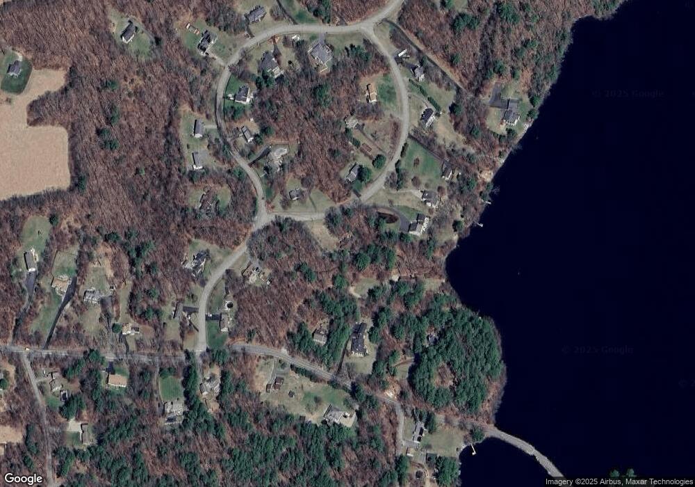
Map
Nearby Homes
- 17 Shore Dr
- 196 N Spencer Rd
- 4 Black Hill Rd
- 230 West St
- 19 Keep Ave
- 21 Wildbrook Dr
- 11 Brigham Rd
- 140 Paxton Rd
- LOT 8 Pierre Cir
- 43 Lambs Grove
- 130 Paxton Rd
- 108 Paxton Rd
- 12 Point Eastalee Dr
- 32 West St
- 2 Laurel Ln
- 72 Wire Village Rd
- 252 Pleasantdale Rd
- 111 Northwest Rd
- 17 Crowningshield Dr
- 289 Richards Ave
- 3 Nottingham Cir
- 31 Thompson Pond Rd
- 2 Nottingham Cir
- 4 Nottingham Cir
- 33 Thompson Pond Rd
- 35 Thompson Pond Rd
- 3 Sherwood Dr
- 5 Nottingham Cir
- 9 Sherwood Dr
- 1 Sherwood Dr
- 7 Nottingham Cir
- 6 Nottingham Cir
- 6 Nottingham Cir Unit Single Fam
- 6 Nottingham Cir Unit 1
- 37 Thompson Pond Rd
- 25 Sherwood Dr
- 4 Sherwood Dr
- 30 Thompson Pond Rd
- 11 Sherwood Dr
- 6 Sherwood Dr