1 Nutwood Cir Limerick, ME 04048
Estimated Value: $300,000 - $331,000
3
Beds
2
Baths
924
Sq Ft
$337/Sq Ft
Est. Value
About This Home
This home is located at 1 Nutwood Cir, Limerick, ME 04048 and is currently estimated at $311,110, approximately $336 per square foot. 1 Nutwood Cir is a home located in York County with nearby schools including Massabesic High School.
Ownership History
Date
Name
Owned For
Owner Type
Purchase Details
Closed on
Nov 19, 2019
Sold by
Whitty Ft
Bought by
Stjean Thomas M
Current Estimated Value
Home Financials for this Owner
Home Financials are based on the most recent Mortgage that was taken out on this home.
Original Mortgage
$171,717
Outstanding Balance
$150,100
Interest Rate
3.5%
Mortgage Type
New Conventional
Estimated Equity
$161,010
Create a Home Valuation Report for This Property
The Home Valuation Report is an in-depth analysis detailing your home's value as well as a comparison with similar homes in the area
Home Values in the Area
Average Home Value in this Area
Purchase History
| Date | Buyer | Sale Price | Title Company |
|---|---|---|---|
| Stjean Thomas M | -- | -- |
Source: Public Records
Mortgage History
| Date | Status | Borrower | Loan Amount |
|---|---|---|---|
| Open | Stjean Thomas M | $171,717 |
Source: Public Records
Tax History
| Year | Tax Paid | Tax Assessment Tax Assessment Total Assessment is a certain percentage of the fair market value that is determined by local assessors to be the total taxable value of land and additions on the property. | Land | Improvement |
|---|---|---|---|---|
| 2025 | $1,979 | $208,357 | $77,800 | $130,557 |
| 2024 | $1,979 | $208,357 | $77,800 | $130,557 |
| 2023 | $1,938 | $127,475 | $30,700 | $96,775 |
| 2022 | $1,810 | $127,475 | $30,700 | $96,775 |
| 2021 | $1,693 | $101,980 | $24,560 | $77,420 |
| 2020 | $1,672 | $101,980 | $24,560 | $77,420 |
| 2019 | $1,606 | $101,980 | $24,560 | $77,420 |
| 2018 | $1,647 | $101,980 | $24,560 | $77,420 |
| 2017 | $1,606 | $101,980 | $24,560 | $77,420 |
| 2016 | $1,535 | $101,980 | $24,560 | $77,420 |
| 2015 | $1,489 | $101,980 | $24,560 | $77,420 |
| 2014 | $1,443 | $101,980 | $24,560 | $77,420 |
Source: Public Records
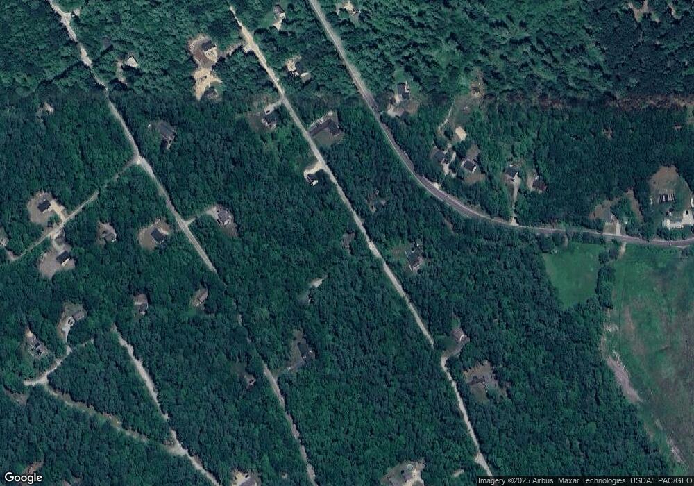
Map
Nearby Homes
- 13 Quaker Ln
- MP42LT232 Nob Hill Rd
- 26 Old Country Way
- 48 King Hill Rd
- 59 Crescent Dr
- 240 Leisure Ln
- 0 Island Rd Unit 1643509
- 17 High Point Cir
- 60 Sequoia Ln
- 68 Lone Pine Rd
- 50 Island Rd
- 28 Summit Dr
- 30 Summit Dr
- 25 Spring Lake Dr
- 138 Fairview Dr
- 6 Moose Dr
- 33 Arrowhead Ln
- 4 Deer Crossing Rd
- LOT# 8 Business Park Rd
- Lot# 11 Business Park Rd
- 753 Stony Brook Dr
- Lot 90-93 Stony Brook Dr
- 76 Stony Brook Dr
- 78 Stony Brook Dr
- 76 Stoney Brook Rd
- 84 Stony Brook Dr
- 67 Stony Brook Dr
- Lot 75 Nutwood Cir
- 67 Stony Brook Dr
- 67 Stony Brook Dr
- 10 Nutwood Cir
- 0 Stoneybrook Rd Unit 1422549
- 65 Stony Brook Dr
- 70 Stony Brook Dr
- Lots 114-1 Old Country Way
- 476 Doles Ridge Rd
- 118 Old Country Way
- 482 Doles Ridge Rd
- 486 Doles Ridge Rd
Your Personal Tour Guide
Ask me questions while you tour the home.