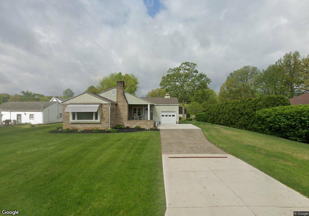
1 Oak Pointe Dr Coshocton, OH 43812
Estimated Value: $268,000 - $304,000
3
Beds
3
Baths
2,126
Sq Ft
$135/Sq Ft
Est. Value
About This Home
This home is located at 1 Oak Pointe Dr, Coshocton, OH 43812 and is currently estimated at $287,333, approximately $135 per square foot. 1 Oak Pointe Dr is a home located in Coshocton County with nearby schools including Coshocton High School, Coshocton Opportunity School, and Sacred Heart Elementary School.
Ownership History
Date
Name
Owned For
Owner Type
Purchase Details
Closed on
Nov 30, 2004
Sold by
Ungurean Sophie F
Bought by
Ungurean Sophie F Jlrs
Current Estimated Value
Purchase Details
Closed on
Jul 20, 2004
Sold by
Skelton Robert A
Bought by
Ungurean Sophie F
Purchase Details
Closed on
Nov 26, 1999
Sold by
Wangen Richard C and Wangen Margaret E
Bought by
Skelton Robert A
Purchase Details
Closed on
Aug 18, 1998
Bought by
Wanger Agreement Of Trust
Purchase Details
Closed on
Jul 9, 1998
Sold by
Hathaway Eleanor N
Bought by
Wanger Agreement Of Trust
Create a Home Valuation Report for This Property
The Home Valuation Report is an in-depth analysis detailing your home's value as well as a comparison with similar homes in the area
Home Values in the Area
Average Home Value in this Area
Purchase History
| Date | Buyer | Sale Price | Title Company |
|---|---|---|---|
| Ungurean Sophie F Jlrs | -- | -- | |
| Ungurean Sophie F | $208,000 | -- | |
| Skelton Robert A | $205,000 | -- | |
| Wanger Agreement Of Trust | -- | -- | |
| Wanger Agreement Of Trust | $210,000 | -- |
Source: Public Records
Tax History
| Year | Tax Paid | Tax Assessment Tax Assessment Total Assessment is a certain percentage of the fair market value that is determined by local assessors to be the total taxable value of land and additions on the property. | Land | Improvement |
|---|---|---|---|---|
| 2024 | $3,670 | $88,940 | $12,680 | $76,260 |
| 2023 | $3,670 | $67,351 | $9,755 | $57,596 |
| 2022 | $3,201 | $67,351 | $9,755 | $57,596 |
| 2021 | $3,206 | $67,351 | $9,755 | $57,596 |
| 2020 | $3,020 | $61,433 | $10,945 | $50,488 |
| 2019 | $3,057 | $61,433 | $10,945 | $50,488 |
| 2018 | $2,983 | $61,433 | $10,945 | $50,488 |
| 2017 | $3,003 | $58,706 | $9,755 | $48,951 |
| 2016 | $2,879 | $58,706 | $9,755 | $48,951 |
| 2015 | $1,447 | $58,706 | $9,755 | $48,951 |
| 2014 | $2,280 | $58,808 | $9,755 | $49,053 |
Source: Public Records
Map
Nearby Homes
- Lot 7 Country Club Dr
- Lot 2 Country Club Dr
- Lot 1 Country Club Dr
- Lot 5 Country Club Dr
- Lot 4 Country Club Dr
- Lot 3 Country Club Dr
- Lot 6 Country Club Dr
- Lot 8 Country Club Dr
- 828 Green Dr
- 608 Highland Blvd
- Lot# 7, S 12th St
- 885 Sheridan Rd
- 597 S 12th St
- 1215 Denman Ave
- 1336 S 13th St
- 380 S 10th St
- 1027 Adams St
- 333 S 9th St
- Lot# 1, S 12th St
- 510 S 8th St
- 2 Oak Pointe Dr
- 1504 Kenilworth Ave
- 3 Oak Pointe Dr
- 827 S 16th St
- 1516 Kenilworth Ave
- 1500 Kenilworth Ave
- 24 Oak Pointe Dr
- 4 Oak Pointe Dr
- 5 Oak Pointe Dr
- 23 Acorn Ln
- 9 Oak Pointe Dr
- 1511 Kenilworth Ave
- 1501 Kenilworth Ave
- 1515 Kenilworth Ave
- 828 S 16th St
- 826 S 16th St
- 1602 Kenilworth Ave
- 1517 Kenilworth Ave
- 1400 Kenilworth Ave
- 810 S 16th St
Your Personal Tour Guide
Ask me questions while you tour the home.