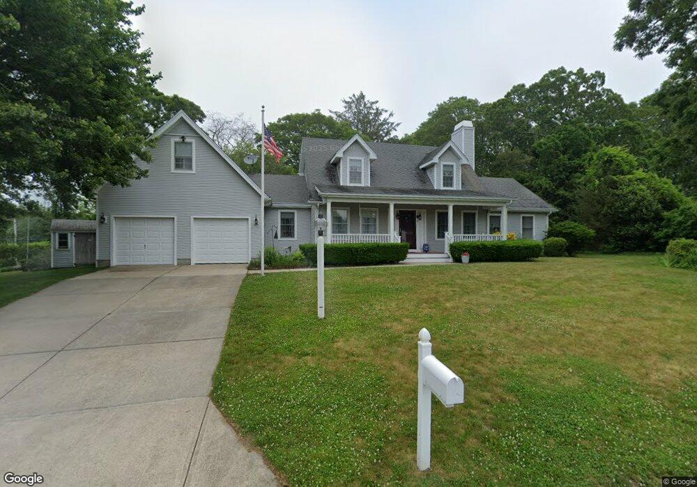
1 Old Forge Ln Bourne, MA 2532
Estimated Value: $837,000 - $904,000
3
Beds
3
Baths
2,581
Sq Ft
$338/Sq Ft
Est. Value
About This Home
This home is located at 1 Old Forge Ln, Bourne, MA 2532 and is currently estimated at $871,798, approximately $337 per square foot. 1 Old Forge Ln is a home located in Barnstable County with nearby schools including Bourne High School, St Margaret Regional School, and Cadence Academy Preschool - Bourne.
Ownership History
Date
Name
Owned For
Owner Type
Purchase Details
Closed on
Aug 1, 2019
Sold by
Georgeson Carl L and Georgeson Kathleen M
Bought by
Georgeson Ft and Georgeson
Current Estimated Value
Purchase Details
Closed on
Jun 30, 2017
Sold by
Holmberg Rt and Richards
Bought by
Georgeson Carl L and Georgeson Kathleen M
Purchase Details
Closed on
Aug 12, 1993
Sold by
Sullivan Walter G
Bought by
Holmberg Henry S and Holmberg Ellen
Create a Home Valuation Report for This Property
The Home Valuation Report is an in-depth analysis detailing your home's value as well as a comparison with similar homes in the area
Purchase History
| Date | Buyer | Sale Price | Title Company |
|---|---|---|---|
| Georgeson Ft | -- | -- | |
| Georgeson Ft | -- | -- | |
| Georgeson Carl L | $490,000 | -- | |
| Georgeson Carl L | $490,000 | -- | |
| Holmberg Henry S | $40,000 | -- | |
| Holmberg Henry S | $40,000 | -- |
Source: Public Records
Tax History
| Year | Tax Paid | Tax Assessment Tax Assessment Total Assessment is a certain percentage of the fair market value that is determined by local assessors to be the total taxable value of land and additions on the property. | Land | Improvement |
|---|---|---|---|---|
| 2025 | $5,922 | $758,200 | $244,500 | $513,700 |
| 2024 | $5,840 | $728,200 | $232,900 | $495,300 |
| 2023 | $5,677 | $644,400 | $206,100 | $438,300 |
| 2022 | $5,350 | $530,200 | $182,400 | $347,800 |
| 2021 | $5,241 | $486,600 | $166,000 | $320,600 |
| 2020 | $4,980 | $463,700 | $164,400 | $299,300 |
| 2019 | $4,697 | $446,900 | $164,400 | $282,500 |
| 2018 | $4,521 | $428,900 | $156,600 | $272,300 |
| 2017 | $4,022 | $390,500 | $124,100 | $266,400 |
| 2016 | $3,902 | $384,100 | $124,100 | $260,000 |
| 2015 | $3,868 | $384,100 | $124,100 | $260,000 |
Source: Public Records
Map
Nearby Homes
- 5 Zoli Ln
- 60 Bourne Neck Dr
- 46 Holt Rd Unit B
- 46 Holt Rd
- 35 Benedict Rd
- 13 Laurel Hill Ct
- 44 Cotuit Rd
- 203 County Rd
- 40-A Lafayette Ave
- 5 Sea Knoll Ct
- 60 Sandwich Rd
- 4 Van Bummel Rd
- 38 Old Bridge Rd
- 23 Alderberry Rd
- 3 Honora Ln Unit 3
- 6 Honora Ct
- 12 Turnberry Rd Unit 12
- 10 Sandy Ln
- 1 Hollyhock Knoll Ct Unit 1
- 4 Hollyhock Knoll Ct Unit 4
Your Personal Tour Guide
Ask me questions while you tour the home.