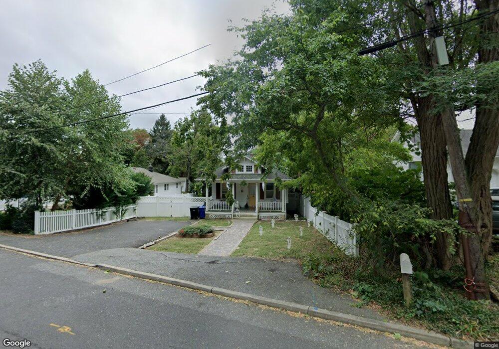
1 Osborne Ave Rumson, NJ 07760
Estimated Value: $421,000 - $904,000
3
Beds
2
Baths
880
Sq Ft
$810/Sq Ft
Est. Value
About This Home
This home is located at 1 Osborne Ave, Rumson, NJ 07760 and is currently estimated at $712,948, approximately $810 per square foot. 1 Osborne Ave is a home located in Monmouth County with nearby schools including Navesink Elementary School, Bayshore Middle School, and Middletown - South High School.
Ownership History
Date
Name
Owned For
Owner Type
Purchase Details
Closed on
Aug 9, 2022
Sold by
Mary Doran
Bought by
Licata Joseph
Current Estimated Value
Purchase Details
Closed on
Jul 12, 2021
Sold by
Sparrow Laura
Bought by
Frantz Michael Kendall
Home Financials for this Owner
Home Financials are based on the most recent Mortgage that was taken out on this home.
Original Mortgage
$1,500
Interest Rate
2.96%
Mortgage Type
New Conventional
Purchase Details
Closed on
Dec 28, 2020
Sold by
Rubel Craig and Rubel Barbara
Bought by
Koerner Marissa
Home Financials for this Owner
Home Financials are based on the most recent Mortgage that was taken out on this home.
Original Mortgage
$229,000
Interest Rate
2.65%
Mortgage Type
New Conventional
Purchase Details
Closed on
Feb 6, 1992
Bought by
Mcheffey Mary E
Create a Home Valuation Report for This Property
The Home Valuation Report is an in-depth analysis detailing your home's value as well as a comparison with similar homes in the area
Home Values in the Area
Average Home Value in this Area
Purchase History
| Date | Buyer | Sale Price | Title Company |
|---|---|---|---|
| Licata Joseph | -- | None Listed On Document | |
| Frantz Michael Kendall | $280,000 | Trident Abstract Title | |
| Frantz Michael Kendall | $280,000 | Trident Abstract Title | |
| Koerner Marissa | $249,000 | Land Title | |
| Mcheffey Mary E | -- | -- |
Source: Public Records
Mortgage History
| Date | Status | Borrower | Loan Amount |
|---|---|---|---|
| Previous Owner | Frantz Michael Kendall | $1,500 | |
| Previous Owner | Frantz Michael Kendall | $224,000 | |
| Previous Owner | Koerner Marissa | $229,000 |
Source: Public Records
Tax History Compared to Growth
Tax History
| Year | Tax Paid | Tax Assessment Tax Assessment Total Assessment is a certain percentage of the fair market value that is determined by local assessors to be the total taxable value of land and additions on the property. | Land | Improvement |
|---|---|---|---|---|
| 2025 | $7,852 | $512,800 | $373,000 | $139,800 |
| 2024 | $7,314 | $477,300 | $340,000 | $137,300 |
| 2023 | $7,314 | $420,800 | $326,900 | $93,900 |
| 2022 | $6,217 | $313,000 | $239,300 | $73,700 |
| 2021 | $6,217 | $298,900 | $233,400 | $65,500 |
| 2020 | $6,153 | $287,800 | $223,800 | $64,000 |
| 2019 | $6,072 | $287,500 | $223,800 | $63,700 |
| 2018 | $5,899 | $272,200 | $211,500 | $60,700 |
| 2017 | $6,046 | $276,200 | $211,500 | $64,700 |
| 2016 | $6,003 | $281,700 | $211,500 | $70,200 |
| 2015 | $6,222 | $281,900 | $211,500 | $70,400 |
| 2014 | $6,241 | $275,800 | $211,500 | $64,300 |
Source: Public Records
Map
Nearby Homes
- 139 Monmouth Ave
- 96 East Ave Unit 75
- 96 East Ave Unit 92
- 38 East Ave
- 4 Isabella Ct
- 185 Monmouth Ave
- 502 Central Ave
- 18 Clay Ct
- 7100 Prospect Ave
- 6998 Prospect Ave
- HAMPSHIRE Plan at Central Ave
- 498 Central Ave
- 500 Central Ave
- 49 Pape Dr
- 258 Ocean Blvd
- 90 E Lincoln Ave
- 59 Asbury Ave
- 942 Navesink River Rd
- 608 Raritan Ave
- 934 Navesink River Rd
- 3 Osborne Ave
- 112 Monmouth Ave
- 108 Monmouth Ave
- 5 Osborne Ave
- 13 Brotherton Ave
- 15 Brotherton Ave
- 116 Monmouth Ave
- 11 Brotherton Ave
- 7 Brotherton Ave
- 29 Demmert Ave
- 19 Brotherton Ave
- 7 Osborne Ave
- 28 Valley Dr
- 27 Demmert Ave
- 120 Monmouth Ave
- 25 Brotherton Ave
- 109 Monmouth Ave
- 34 Valley Dr
- 20 Valley Dr
- 20 Valley Dr