Estimated Value: $1,380,000 - $1,791,000
3
Beds
3
Baths
2,149
Sq Ft
$776/Sq Ft
Est. Value
About This Home
This home is located at 1 Paomet Ln, Truro, MA 02666 and is currently estimated at $1,668,589, approximately $776 per square foot. 1 Paomet Ln is a home located in Barnstable County.
Ownership History
Date
Name
Owned For
Owner Type
Purchase Details
Closed on
Jul 31, 2015
Sold by
Fross Stuart E
Bought by
Fross Stuart E and Fross Catherine C
Current Estimated Value
Purchase Details
Closed on
Feb 25, 2009
Sold by
Fross Deborah C and Fross S
Bought by
Fross Stuart E
Home Financials for this Owner
Home Financials are based on the most recent Mortgage that was taken out on this home.
Original Mortgage
$191,763
Interest Rate
5%
Mortgage Type
Purchase Money Mortgage
Purchase Details
Closed on
May 20, 2005
Sold by
Murray John T and Macdonald John
Bought by
Fross Deborah C and Fross Stuart E
Purchase Details
Closed on
Aug 16, 2004
Sold by
Walkup Park E
Bought by
Murray John J and Macdonald John
Home Financials for this Owner
Home Financials are based on the most recent Mortgage that was taken out on this home.
Original Mortgage
$738,750
Interest Rate
6.16%
Mortgage Type
Purchase Money Mortgage
Create a Home Valuation Report for This Property
The Home Valuation Report is an in-depth analysis detailing your home's value as well as a comparison with similar homes in the area
Home Values in the Area
Average Home Value in this Area
Purchase History
| Date | Buyer | Sale Price | Title Company |
|---|---|---|---|
| Fross Stuart E | -- | -- | |
| Fross Stuart E | -- | -- | |
| Fross Deborah C | $1,005,000 | -- | |
| Murray John J | $985,000 | -- |
Source: Public Records
Mortgage History
| Date | Status | Borrower | Loan Amount |
|---|---|---|---|
| Previous Owner | Fross Stuart E | $191,763 | |
| Previous Owner | Murray John J | $738,750 |
Source: Public Records
Tax History Compared to Growth
Tax History
| Year | Tax Paid | Tax Assessment Tax Assessment Total Assessment is a certain percentage of the fair market value that is determined by local assessors to be the total taxable value of land and additions on the property. | Land | Improvement |
|---|---|---|---|---|
| 2025 | $10,306 | $1,667,700 | $851,000 | $816,700 |
| 2024 | $9,775 | $1,631,900 | $842,600 | $789,300 |
| 2023 | $9,081 | $1,388,500 | $732,600 | $655,900 |
| 2022 | $8,576 | $1,109,400 | $631,500 | $477,900 |
| 2021 | $7,677 | $1,040,200 | $600,000 | $440,200 |
| 2020 | $7,590 | $1,035,500 | $594,000 | $441,500 |
| 2019 | $7,571 | $1,016,200 | $594,000 | $422,200 |
| 2018 | $7,233 | $981,400 | $594,000 | $387,400 |
| 2017 | $6,729 | $964,100 | $594,000 | $370,100 |
| 2016 | $6,471 | $955,800 | $588,200 | $367,600 |
| 2015 | -- | $940,400 | $582,400 | $358,000 |
Source: Public Records
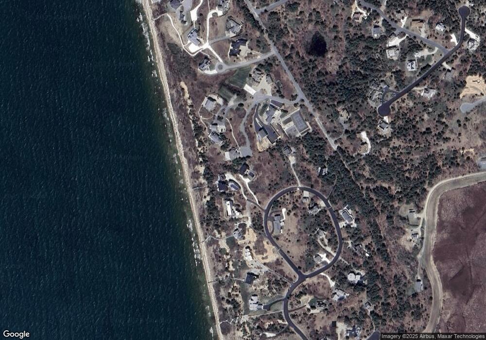
Map
Nearby Homes
- 52 Corn Hill Rd
- 25 Resolution Rd
- 4 Resolution Rd
- 7 Great Hollow Rd Unit 50
- 27 Fishermans Rd
- 2 Aldrich Rd
- 2 Amanda Ln
- 23 Crestview Cir
- 7 Great Hollow Rd Unit 50
- 3 Bayberry Rd
- 6 Long Nook Ln
- 25 Noons Dr
- 5 Sylvan Ln
- 9 Kinnikinnick Rd
- 7 Fishermans Rd
- 2 Meetinghouse Rd Unit 2
- 4 S Highland Rd Unit C
- 18 Hopkins Way
- 5 Great Hills Rd
- 14 N Union Field Rd
- 1 Payomet Ln
- 6 Payomet Ln
- 4 Carlins Way
- 4 Marys Way Unit 4
- 4 Marys Way
- 0 Payomet Ln
- 6 Paomet Ln
- 19 Corn Hill Landing
- 4 Payomet Ln
- 6 Marys Way Unit 6
- 6 Marys Way
- 2 Payomet Ln
- 2 Marc Ln
- 2 Marys Way
- 23 Corn Hill Landing
- 18 Corn Hill Landing
- 16 Corn Hill Landing
- 3 Marys Way Unit 3
- 3 Marys Way
- 3 Marys Way