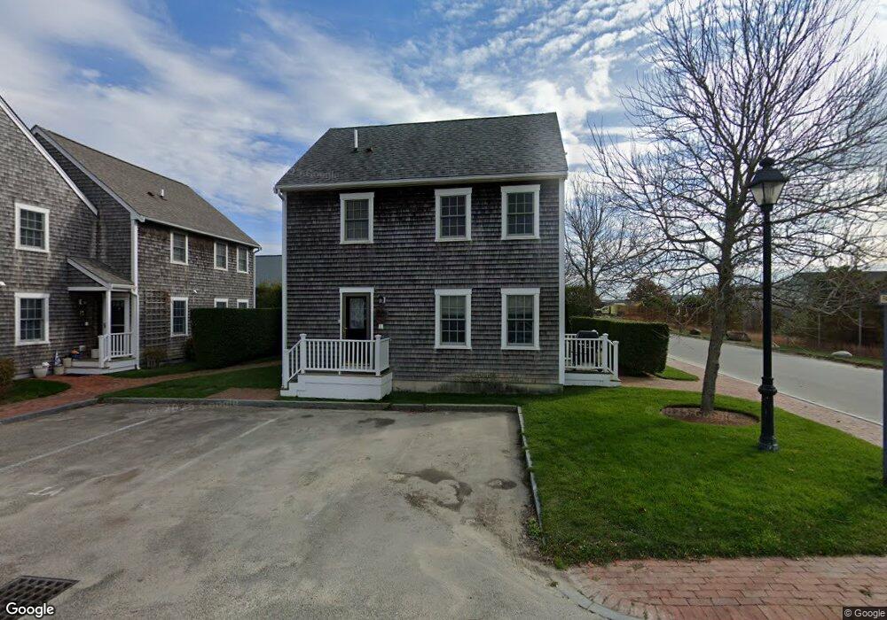
1 Park Cir Unit B Nantucket, MA 02554
Estimated Value: $1,070,000 - $1,301,000
2
Beds
3
Baths
1,196
Sq Ft
$1,025/Sq Ft
Est. Value
About This Home
This home is located at 1 Park Cir Unit B, Nantucket, MA 02554 and is currently estimated at $1,225,838, approximately $1,024 per square foot. 1 Park Cir Unit B is a home located in Nantucket County with nearby schools including Nantucket Elementary School, Cyrus Peirce Middle School, and Nantucket High School.
Ownership History
Date
Name
Owned For
Owner Type
Purchase Details
Closed on
Sep 1, 2015
Sold by
King Jennifer A
Bought by
Thompson Cassandra and Thompson Natali
Current Estimated Value
Home Financials for this Owner
Home Financials are based on the most recent Mortgage that was taken out on this home.
Original Mortgage
$436,500
Outstanding Balance
$344,004
Interest Rate
4.09%
Mortgage Type
New Conventional
Estimated Equity
$881,834
Purchase Details
Closed on
May 10, 2007
Sold by
Cliff Acquisitions Llc
Bought by
Annand Jennifer E
Home Financials for this Owner
Home Financials are based on the most recent Mortgage that was taken out on this home.
Original Mortgage
$185,000
Interest Rate
6.21%
Mortgage Type
Purchase Money Mortgage
Create a Home Valuation Report for This Property
The Home Valuation Report is an in-depth analysis detailing your home's value as well as a comparison with similar homes in the area
Home Values in the Area
Average Home Value in this Area
Purchase History
| Date | Buyer | Sale Price | Title Company |
|---|---|---|---|
| Thompson Cassandra | $485,000 | -- | |
| Annand Jennifer E | $425,000 | -- | |
| Annand Jennifer E | $425,000 | -- |
Source: Public Records
Mortgage History
| Date | Status | Borrower | Loan Amount |
|---|---|---|---|
| Open | Thompson Cassandra | $436,500 | |
| Closed | Thompson Cassandra | $436,500 | |
| Previous Owner | Annand Jennifer E | $225,000 | |
| Previous Owner | Annand Jennifer E | $185,000 |
Source: Public Records
Tax History Compared to Growth
Tax History
| Year | Tax Paid | Tax Assessment Tax Assessment Total Assessment is a certain percentage of the fair market value that is determined by local assessors to be the total taxable value of land and additions on the property. | Land | Improvement |
|---|---|---|---|---|
| 2025 | $3,114 | $949,400 | $0 | $949,400 |
| 2022 | $2,052 | $548,600 | $0 | $548,600 |
Source: Public Records
Map
Nearby Homes
- 106 Old South Rd Unit 2
- 1 Airport Rd Unit Lot A
- 1 Airport Rd Unit Lot B
- 103A Old Rd S
- 9 Nobadeer Way
- 2 Goldenrod Ct
- 5 Upper Tawpawshaw Rd
- 21 Kittiwake Ln
- 6 Honeysuckle Dr
- 19 Honeysuckle Dr
- 20 Evergreen Way
- 20 Nancy Ann Ln
- 13 Nancy Ann Ln
- 12A Greglen Ave
- 15 Nancy Ann Ln
- 7 Moors End Ln
- 2B Forest Ave Unit 6
- 2B Forest Ave Unit 2
- 2A Forest Ave Unit 5
- 2A Forest Ave Unit 1
- 1 A Park Cir Unit A
- 1 B Park Cir Unit B
- 1 Park Cir Unit A
- 1 Park Cir Unit A
- 1 Park Cir
- 2B Park Cir Unit B
- 2B Park Cir
- 2 A Park Cir Unit A
- 3 Park Cir Unit A
- 3a Park Cir
- 3 Park Cir Unit 3A
- 4a Park Cir Unit 4B
- 4a Park Cir Unit 4A
- 3 Sun Island Rd
- 3 Sun Island Rd Unit 4
- 3 Sun Island Rd Unit 4
- 3 Sun Island Rd Unit 2
- 3 Sun Island Rd Unit 3
- 3 Sun Island Rd Unit 1
- 3 Sun Island Rd Unit 3E