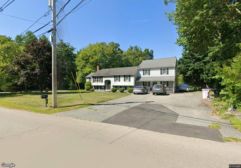
1 Parker Ct Norton, MA 02766
Estimated Value: $804,107 - $900,000
4
Beds
3
Baths
4,000
Sq Ft
$218/Sq Ft
Est. Value
About This Home
This home is located at 1 Parker Ct, Norton, MA 02766 and is currently estimated at $870,277, approximately $217 per square foot. 1 Parker Ct is a home located in Bristol County with nearby schools including J.C. Solmonese Elementary School, Henri A. Yelle Elementary School, and Norton Middle School.
Ownership History
Date
Name
Owned For
Owner Type
Purchase Details
Closed on
Mar 17, 2021
Sold by
Sheridan Maria
Bought by
Douglas Robert and Sheridan Maria
Current Estimated Value
Home Financials for this Owner
Home Financials are based on the most recent Mortgage that was taken out on this home.
Original Mortgage
$166,000
Outstanding Balance
$148,053
Interest Rate
2.8%
Mortgage Type
New Conventional
Estimated Equity
$722,224
Purchase Details
Closed on
Apr 29, 2008
Sold by
Green Jane M and Green Marc H
Bought by
Sheridan George L and Sheridan Maria
Home Financials for this Owner
Home Financials are based on the most recent Mortgage that was taken out on this home.
Original Mortgage
$150,000
Interest Rate
6.22%
Mortgage Type
Purchase Money Mortgage
Create a Home Valuation Report for This Property
The Home Valuation Report is an in-depth analysis detailing your home's value as well as a comparison with similar homes in the area
Home Values in the Area
Average Home Value in this Area
Purchase History
| Date | Buyer | Sale Price | Title Company |
|---|---|---|---|
| Douglas Robert | -- | None Available | |
| Sheridan George L | $462,450 | -- | |
| Sheridan George L | $462,450 | -- |
Source: Public Records
Mortgage History
| Date | Status | Borrower | Loan Amount |
|---|---|---|---|
| Open | Douglas Robert | $166,000 | |
| Previous Owner | Sheridan George L | $154,574 | |
| Previous Owner | Sheridan George L | $150,000 |
Source: Public Records
Tax History
| Year | Tax Paid | Tax Assessment Tax Assessment Total Assessment is a certain percentage of the fair market value that is determined by local assessors to be the total taxable value of land and additions on the property. | Land | Improvement |
|---|---|---|---|---|
| 2025 | $92 | $705,700 | $183,900 | $521,800 |
| 2024 | $9,017 | $696,300 | $192,700 | $503,600 |
| 2023 | $8,534 | $657,000 | $181,700 | $475,300 |
| 2022 | $8,228 | $577,000 | $166,100 | $410,900 |
| 2021 | $7,711 | $516,500 | $158,300 | $358,200 |
| 2020 | $7,492 | $506,200 | $153,600 | $352,600 |
| 2019 | $7,128 | $478,400 | $147,800 | $330,600 |
| 2018 | $6,846 | $451,600 | $147,800 | $303,800 |
| 2017 | $6,262 | $407,400 | $134,300 | $273,100 |
| 2016 | $5,982 | $383,200 | $134,300 | $248,900 |
| 2015 | $5,767 | $374,700 | $131,700 | $243,000 |
| 2014 | $5,536 | $360,200 | $125,400 | $234,800 |
Source: Public Records
Map
Nearby Homes
- 125 John Scott Blvd
- 127 John Scott Blvd
- 3 Gilberts Way
- 170 S Worcester St Unit 3
- 26 Barrows Ct
- 34 Barrows St
- 108 S Worcester St
- 8 Kasmira Way
- 2 Edgewater Dr Unit 2
- 196 Taunton Ave Unit B
- 20 Lloyd Cir Unit 32
- 14 Lloyd Cir Unit 29
- 23 Stockade Cir
- 29 Germain Way Unit 3
- 5 Robin Cir Unit 5
- 152 Pine St Unit 23
- 90 Pine St
- 168 Run Brook Cir
- 49 Teaberry Ln
- 40 Duffy Dr
- 317 S Worcester St
- 43 John Scott Blvd
- 2 Parker Ct
- 110 John Scott Blvd
- 319 S Worcester St
- 316 S Worcester St
- 45 John Scott Blvd
- 315 S Worcester St
- Lot 14 A&B John Scott Blvd
- 314 S Worcester St
- 108 John Scott Blvd
- 313 S Worcester St
- 321 S Worcester St
- 318 S Worcester St
- 47 John Scott Blvd
- 323 S Worcester St
- 106 John Scott Blvd
- 312 S Worcester St
- 312 S Worcester St
- 309 S Worcester St
Your Personal Tour Guide
Ask me questions while you tour the home.