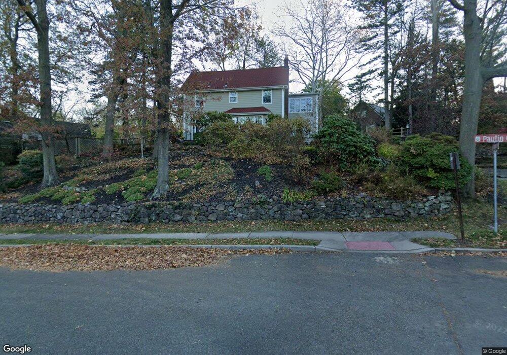
1 Paulin Blvd Leonia, NJ 07605
Estimated Value: $1,097,000 - $1,331,350
Studio
--
Bath
3,247
Sq Ft
$382/Sq Ft
Est. Value
About This Home
This home is located at 1 Paulin Blvd, Leonia, NJ 07605 and is currently estimated at $1,239,088, approximately $381 per square foot. 1 Paulin Blvd is a home located in Bergen County with nearby schools including Anna C. Scott Elementary School, Leonia Middle School, and Leonia High School.
Ownership History
Date
Name
Owned For
Owner Type
Purchase Details
Closed on
Feb 28, 2008
Sold by
Erickson John D and Erickson Nancy
Bought by
Patton Duncan and Marx Karen
Current Estimated Value
Home Financials for this Owner
Home Financials are based on the most recent Mortgage that was taken out on this home.
Original Mortgage
$500,000
Outstanding Balance
$314,157
Interest Rate
5.9%
Mortgage Type
New Conventional
Estimated Equity
$924,931
Create a Home Valuation Report for This Property
The Home Valuation Report is an in-depth analysis detailing your home's value as well as a comparison with similar homes in the area
Home Values in the Area
Average Home Value in this Area
Purchase History
| Date | Buyer | Sale Price | Title Company |
|---|---|---|---|
| Patton Duncan | $875,000 | -- |
Source: Public Records
Mortgage History
| Date | Status | Borrower | Loan Amount |
|---|---|---|---|
| Open | Patton Duncan | $500,000 |
Source: Public Records
Tax History
| Year | Tax Paid | Tax Assessment Tax Assessment Total Assessment is a certain percentage of the fair market value that is determined by local assessors to be the total taxable value of land and additions on the property. | Land | Improvement |
|---|---|---|---|---|
| 2025 | $25,735 | $754,900 | $356,300 | $398,600 |
| 2024 | $25,372 | $754,900 | $356,300 | $398,600 |
| 2023 | $24,036 | $754,900 | $356,300 | $398,600 |
| 2022 | $24,036 | $754,900 | $356,300 | $398,600 |
| 2021 | $24,164 | $754,900 | $356,300 | $398,600 |
| 2020 | $23,326 | $754,900 | $356,300 | $398,600 |
| 2019 | $22,511 | $754,900 | $356,300 | $398,600 |
| 2018 | $22,239 | $754,900 | $356,300 | $398,600 |
| 2017 | $21,975 | $754,900 | $356,300 | $398,600 |
| 2016 | $21,024 | $754,900 | $356,300 | $398,600 |
| 2015 | $21,069 | $754,900 | $356,300 | $398,600 |
| 2014 | $20,730 | $754,900 | $356,300 | $398,600 |
Source: Public Records
Map
Nearby Homes
- 20 Paulin Blvd
- 1585 Bergen Blvd
- 476 Lee Ct Unit 207
- 550 North Ave Unit E
- 557 Ridge Ln Unit 4220
- 1478 Westgate Dr Unit 105
- 555 North Ave Unit 17S
- 555 North Ave Unit 6N
- 555 North Ave Unit 19W
- 555 North Ave Unit 10C
- 555 North Ave Unit 17-U
- 555 North Ave Unit 8N
- 555 North Ave Unit 21U
- 555 North Ave Unit 23-S
- 555 North Ave Unit 16N
- 555 North Ave Unit 8-P
- 555 North Ave Unit 1 G
- 555 North Ave Unit 21M
- 758 Charles Ct Unit 6107
- 403 Hazlitt Ave
- 9 Paulin Blvd
- 433 Highwood Ave
- 15 Paulin Blvd
- 408 Charles Place
- 426 Highwood Ave
- 414 Highwood Ave
- 430 Highwood Ave
- 414 Charles Place
- 8 Paulin Blvd
- 437 Highwood Ave
- 12 Paulin Blvd
- 410 Highwood Ave
- 418 Charles Place
- 403 Charles Place
- 411 Charles Place
- 101 Reldyes Ave
- 421 Charles Place
- 427 Charles Place
- 406 Highwood Ave
- 409 Highwood Ave
Your Personal Tour Guide
Ask me questions while you tour the home.