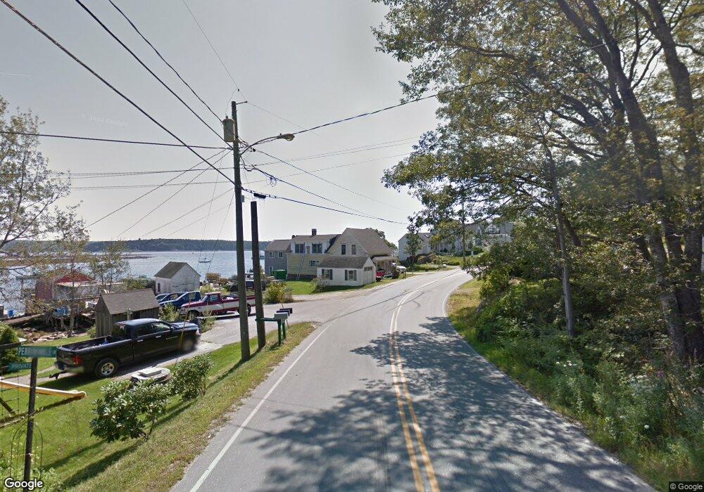
1 Periwinkle Point Dr Harpswell, ME 04079
Harpswell Neck NeighborhoodEstimated Value: $586,000 - $1,118,000
1
Bed
1
Bath
749
Sq Ft
$1,241/Sq Ft
Est. Value
About This Home
This home is located at 1 Periwinkle Point Dr, Harpswell, ME 04079 and is currently estimated at $929,373, approximately $1,240 per square foot. 1 Periwinkle Point Dr is a home with nearby schools including Mt Ararat High School.
Ownership History
Date
Name
Owned For
Owner Type
Purchase Details
Closed on
May 25, 2016
Sold by
Belcher Dana F and Belcher Cathi A
Bought by
Litkey Cody and Litkey Ashlee
Current Estimated Value
Purchase Details
Closed on
Sep 8, 2011
Sold by
Spugnardi Dino A
Bought by
Gordon James P and Gordon Joanne F
Purchase Details
Closed on
Jun 28, 2010
Sold by
Spugnardi Dino and Spugnardi Lynne
Bought by
Spugnardi Dino
Create a Home Valuation Report for This Property
The Home Valuation Report is an in-depth analysis detailing your home's value as well as a comparison with similar homes in the area
Home Values in the Area
Average Home Value in this Area
Purchase History
| Date | Buyer | Sale Price | Title Company |
|---|---|---|---|
| Litkey Cody | -- | -- | |
| Gordon James P | -- | -- | |
| Spugnardi Dino | -- | -- |
Source: Public Records
Tax History Compared to Growth
Tax History
| Year | Tax Paid | Tax Assessment Tax Assessment Total Assessment is a certain percentage of the fair market value that is determined by local assessors to be the total taxable value of land and additions on the property. | Land | Improvement |
|---|---|---|---|---|
| 2024 | $4,765 | $749,200 | $424,100 | $325,100 |
| 2023 | $4,570 | $749,200 | $424,100 | $325,100 |
| 2022 | $4,420 | $749,200 | $424,100 | $325,100 |
| 2021 | $3,617 | $535,100 | $340,100 | $195,000 |
| 2020 | $3,607 | $535,100 | $340,100 | $195,000 |
| 2019 | $3,585 | $535,100 | $340,100 | $195,000 |
| 2018 | $3,467 | $535,100 | $340,100 | $195,000 |
| 2017 | $1,141 | $535,100 | $340,100 | $195,000 |
| 2016 | $3,012 | $470,700 | $340,100 | $130,600 |
| 2015 | $2,937 | $470,700 | $340,100 | $130,600 |
| 2013 | $2,721 | $470,700 | $340,100 | $130,600 |
Source: Public Records
Map
Nearby Homes
- 1 Mallard Pond Rd
- 41 Spruce Brook Dr
- Lot 129 Harpswell Neck Rd
- 1450 Harpswell Neck Rd
- Lot 2A Allen Point Rd
- Lot 2B Allen Point Rd
- 16 Ash Point Rd Unit 16
- 18 Ash Point Rd
- 10 Irene Ave
- 1689 Harpswell Islands Rd
- 0 Bayview Rd Unit 2 1632776
- 30 Osbourne Row
- 87 Lowells Cove Rd
- 6 Kane Ln
- 8 & 2 Kane Ln
- 10 S Colony Branch Rd
- 83 Central Ave
- 20 Long Point Island
- 46 Blackstone Club Rd
- 71 Merganser Way
- 95 Sunset Cove Rd
- 109B Sunset Cove
- 109 Sunset Cove Rd
- 111 Sunset Cove Rd
- 107 Sunset Cove Rd
- 108 Sunset Cove Rd
- 105 Sunset Cove Rd
- 102 Sunset Cove Rd
- 124 Sunset Cove Rd
- 100 Sunset Cove Rd
- 131 Sunset Cove Rd
- 22 Gingers Rd
- 87 Sunset Cove Rd
- 143 Sunset Cove Rd
- 46 Sunset Cove Rd
- 45 Gingers Rd
- 121 Sunset Cove Rd
- 46 Gingers Rd
- 78-79 Sunset Cove Rd
- 34 Ginger's Way