Estimated Value: $446,000 - $488,744
2
Beds
2
Baths
1,080
Sq Ft
$429/Sq Ft
Est. Value
About This Home
This home is located at 1 Pheasant Trail, Coram, NY 11727 and is currently estimated at $463,186, approximately $428 per square foot. 1 Pheasant Trail is a home located in Suffolk County with nearby schools including Longwood Middle School, Longwood Junior High School, and Longwood Senior High School.
Ownership History
Date
Name
Owned For
Owner Type
Purchase Details
Closed on
Jul 17, 2014
Sold by
Fannie Mae
Bought by
Mackay William
Current Estimated Value
Purchase Details
Closed on
Sep 19, 2013
Sold by
Larose Constance J
Bought by
Federal National Mortgage Association
Purchase Details
Closed on
Nov 29, 2007
Create a Home Valuation Report for This Property
The Home Valuation Report is an in-depth analysis detailing your home's value as well as a comparison with similar homes in the area
Home Values in the Area
Average Home Value in this Area
Purchase History
| Date | Buyer | Sale Price | Title Company |
|---|---|---|---|
| Mackay William | $184,736 | Sutton Land Title Agency | |
| Federal National Mortgage Association | $291,300 | -- | |
| -- | -- | -- |
Source: Public Records
Tax History
| Year | Tax Paid | Tax Assessment Tax Assessment Total Assessment is a certain percentage of the fair market value that is determined by local assessors to be the total taxable value of land and additions on the property. | Land | Improvement |
|---|---|---|---|---|
| 2024 | $8,922 | $2,025 | $200 | $1,825 |
| 2023 | $8,922 | $2,025 | $200 | $1,825 |
| 2022 | $8,105 | $2,025 | $200 | $1,825 |
| 2021 | $8,105 | $2,025 | $200 | $1,825 |
| 2020 | $8,297 | $2,025 | $200 | $1,825 |
| 2019 | $8,297 | $0 | $0 | $0 |
| 2018 | $6,706 | $2,025 | $200 | $1,825 |
| 2017 | $6,706 | $2,025 | $200 | $1,825 |
| 2016 | $6,630 | $2,025 | $200 | $1,825 |
| 2015 | -- | $2,025 | $200 | $1,825 |
| 2014 | -- | $2,025 | $200 | $1,825 |
Source: Public Records
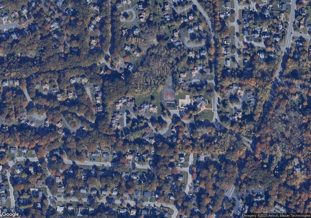
Map
Nearby Homes
- 13 Mallard Path
- 14 Chipmunk Trail
- 5 Deer Path
- 6 Doe Path
- 12 Northridge Dr
- 17 Coram Swezeytown Rd
- 21 Burwood Ln
- 16 Magic Mountain Dr
- 69 American Ave
- 26 Grand Canyon Ln
- 12 Yellowstone Ct
- 65 Federal Ln
- 36 American Ave
- 61 Federal Ln
- 107 Sequoia Dr
- 7 Carnaby Ave
- 5 Fredricksburg Ct
- 2 Franklin St
- 35 Gibbs Rd Unit 22
- 49 Pointe Cir S
- 2 Pheasant Trail
- 3 Pheasant Trail Unit 20
- 4 Pheasant Trail
- 5 Pheasant Trail
- 6 Pheasant Trail
- 7 Pheasant Trail
- 1 Otter Path Unit 9
- 9 Otter Path
- 8 Pheasant Trail Unit 25
- 7 Otter Path Unit 15
- 6 Otter Path Unit 14
- 2 Otter Path
- 8 Otter Path
- 9 Pheasant Trail
- 3 Otter Path Unit 11
- 5 Otter Path Unit 13
- 5 Otter Path Unit U k
- 4 Otter Path
- 10 Pheasant Trail
- 8 Quail Path
Your Personal Tour Guide
Ask me questions while you tour the home.