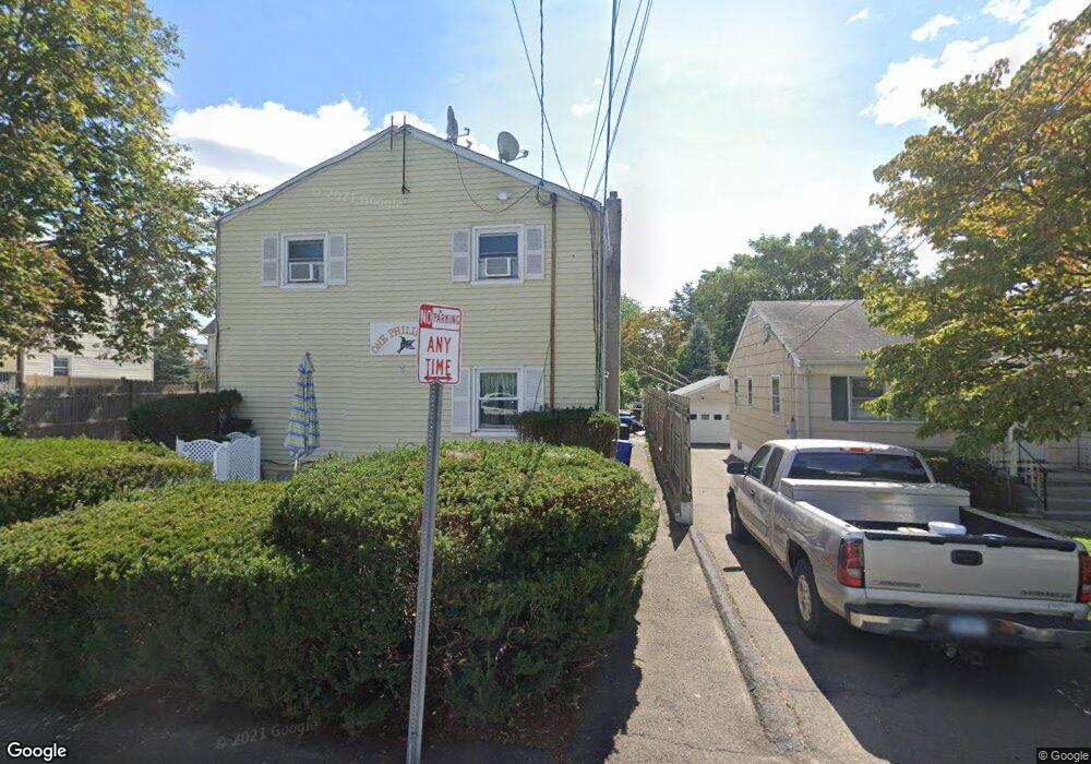
1 Phillips St Unit 4 Norwalk, CT 06850
Spring Hill NeighborhoodEstimated Value: $244,775 - $329,000
2
Beds
1
Bath
816
Sq Ft
$354/Sq Ft
Est. Value
About This Home
This home is located at 1 Phillips St Unit 4, Norwalk, CT 06850 and is currently estimated at $288,944, approximately $354 per square foot. 1 Phillips St Unit 4 is a home located in Fairfield County with nearby schools including Jefferson Marine Science Elementary School, Ponus Ridge Middle School, and Brien Mcmahon High School.
Ownership History
Date
Name
Owned For
Owner Type
Purchase Details
Closed on
Sep 17, 2004
Sold by
Starr Jeffrey H and Starr Orzyna M
Bought by
Munoz Srrgio and Munoz Sandra
Current Estimated Value
Home Financials for this Owner
Home Financials are based on the most recent Mortgage that was taken out on this home.
Original Mortgage
$199,500
Interest Rate
6.12%
Create a Home Valuation Report for This Property
The Home Valuation Report is an in-depth analysis detailing your home's value as well as a comparison with similar homes in the area
Home Values in the Area
Average Home Value in this Area
Purchase History
| Date | Buyer | Sale Price | Title Company |
|---|---|---|---|
| Munoz Srrgio | $210,000 | -- | |
| Munoz Srrgio | $210,000 | -- |
Source: Public Records
Mortgage History
| Date | Status | Borrower | Loan Amount |
|---|---|---|---|
| Open | Munoz Srrgio | $208,300 | |
| Closed | Munoz Srrgio | $33,980 | |
| Closed | Munoz Srrgio | $199,500 |
Source: Public Records
Tax History
| Year | Tax Paid | Tax Assessment Tax Assessment Total Assessment is a certain percentage of the fair market value that is determined by local assessors to be the total taxable value of land and additions on the property. | Land | Improvement |
|---|---|---|---|---|
| 2025 | $3,151 | $131,830 | $0 | $131,830 |
| 2024 | $3,104 | $131,830 | $0 | $131,830 |
| 2023 | $2,609 | $104,010 | $0 | $104,010 |
| 2022 | $2,553 | $104,010 | $0 | $104,010 |
| 2021 | $2,493 | $104,010 | $0 | $104,010 |
| 2020 | $2,492 | $104,010 | $0 | $104,010 |
| 2019 | $2,425 | $104,010 | $0 | $104,010 |
| 2018 | $2,857 | $107,380 | $0 | $107,380 |
| 2017 | $2,758 | $107,380 | $0 | $107,380 |
| 2016 | $2,732 | $107,380 | $0 | $107,380 |
| 2015 | $2,724 | $107,380 | $0 | $107,380 |
| 2014 | $2,689 | $107,380 | $0 | $107,380 |
Source: Public Records
Map
Nearby Homes
- 9 Frost St
- 33 Glenwood Ave Unit 1
- 50 Fairview Ave Unit 2D
- 34 Ferris Ave Unit A2
- 8 Elmcrest Terrace Unit 103
- 8 Elmcrest Terrace Unit 100
- 2 Finley St
- 14 Ferris Ave Unit 9
- 26 Prospect Ave Unit F4
- 12 Sention Ave
- 29 Van Buren Ave Unit I3
- 18 Prospect Ave Unit B1
- 11 Bedford Ave Unit J2
- 11 Bedford Ave Unit 1
- 2 Dover St Unit 5
- 2 Coldspring St
- 10 Prospect Ave Unit 8
- 75 N Taylor Ave
- 16 Grandview Ave
- 2 Leuvine St Unit 1
- 1 Phillips St Unit 3
- 1 Phillips St Unit 2
- 1 Phillips St
- 67 Stuart Ave
- 63 Stuart Ave
- 65 Stuart Ave
- 5 Phillips St
- 5 Phillips St Unit B5
- 5 Phillips St Unit B3
- 5 Phillips St Unit A1
- 5 Phillips St Unit B1
- 5 Phillips St Unit A2
- 5 Phillips St Unit B2
- 5 Phillips St Unit A3
- 5 Phillips St Unit A4
- 69 Stuart Ave
- 69 Stuart Ave Unit 2
- 2 Phillips St
- 71 Stuart Ave
- 4 Phillips St
Your Personal Tour Guide
Ask me questions while you tour the home.