Estimated Value: $783,455 - $1,018,000
3
Beds
2
Baths
2,808
Sq Ft
$320/Sq Ft
Est. Value
About This Home
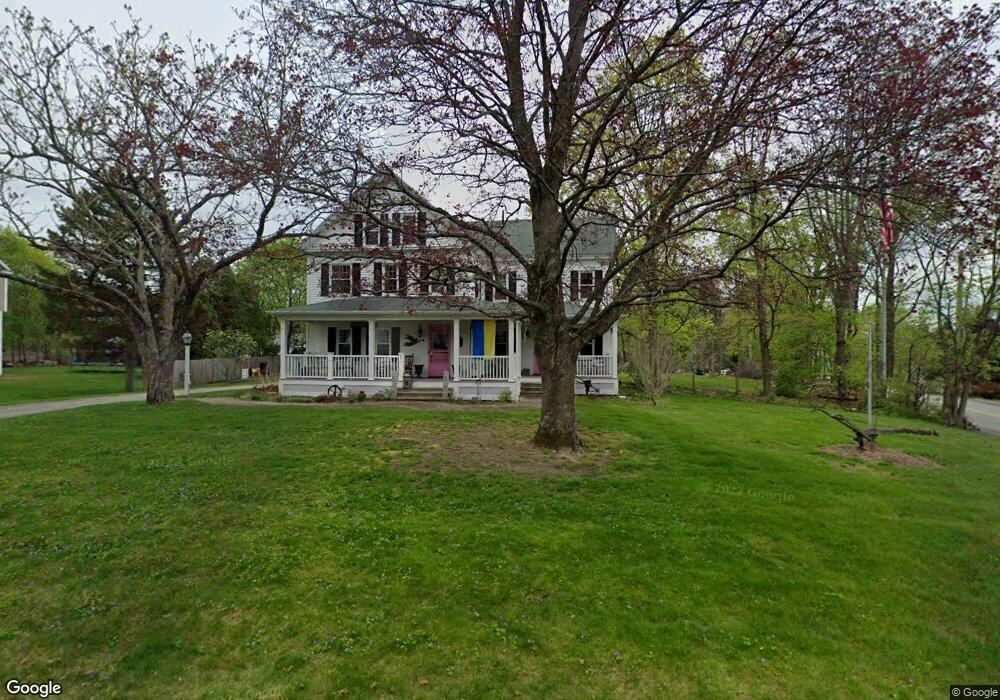
This home is located at 1 Piper Rd, Acton, MA 01720 and is currently estimated at $899,114, approximately $320 per square foot. 1 Piper Rd is a home located in Middlesex County with nearby schools including Acton-Boxborough Regional High School, Maynard Knowledge Beginnings, and The Imago School.
Ownership History
Date
Name
Owned For
Owner Type
Purchase Details
Closed on
Jul 24, 2014
Sold by
R D Kanniard Homes Inc
Bought by
Finneault Gary D
Current Estimated Value
Home Financials for this Owner
Home Financials are based on the most recent Mortgage that was taken out on this home.
Original Mortgage
$1
Outstanding Balance
$1
Interest Rate
4.18%
Create a Home Valuation Report for This Property
The Home Valuation Report is an in-depth analysis detailing your home's value as well as a comparison with similar homes in the area
Home Values in the Area
Average Home Value in this Area
Purchase History
| Date | Buyer | Sale Price | Title Company |
|---|---|---|---|
| Finneault Gary D | -- | -- | |
| R D Kanniard Homes Inc | -- | -- |
Source: Public Records
Mortgage History
| Date | Status | Borrower | Loan Amount |
|---|---|---|---|
| Open | R D Kanniard Homes Inc | $1 | |
| Closed | Finneault Gary D | $1 |
Source: Public Records
Tax History
| Year | Tax Paid | Tax Assessment Tax Assessment Total Assessment is a certain percentage of the fair market value that is determined by local assessors to be the total taxable value of land and additions on the property. | Land | Improvement |
|---|---|---|---|---|
| 2025 | $11,827 | $689,600 | $281,500 | $408,100 |
| 2024 | $11,496 | $689,600 | $281,500 | $408,100 |
| 2023 | $11,407 | $649,600 | $256,000 | $393,600 |
| 2022 | $11,024 | $566,800 | $222,600 | $344,200 |
| 2021 | $10,675 | $527,700 | $206,200 | $321,500 |
| 2020 | $10,270 | $533,800 | $206,200 | $327,600 |
| 2019 | $9,778 | $504,800 | $206,200 | $298,600 |
| 2018 | $9,659 | $498,400 | $206,200 | $292,200 |
| 2017 | $9,299 | $487,900 | $206,200 | $281,700 |
| 2016 | $9,302 | $483,700 | $206,200 | $277,500 |
| 2015 | $9,134 | $479,500 | $206,200 | $273,300 |
| 2014 | $8,953 | $460,300 | $208,100 | $252,200 |
Source: Public Records
Map
Nearby Homes
- 70 River St
- 1 Vanderbelt Rd
- 30 Brewster Ln
- 40 High St
- 25 Nylander Way
- 7 Hillcrest Dr
- 129 Main St Unit 129
- 131 Main St
- 184 Main St Unit 3
- 128 Parker St Unit 3B
- 7 Kelley Rd
- 246 Main St Unit 2
- 31 Drummer Rd Unit 31
- 1 Drummer Rd Unit A5
- 63 Conant St
- 71 Liberty St
- 46 Taylor Rd
- 59 Lexington Dr
- 27 Forest Rd
- 18 Hayward Rd
Your Personal Tour Guide
Ask me questions while you tour the home.