1 Pitcairn Way Ipswich, MA 01938
Estimated Value: $807,733 - $1,159,000
3
Beds
2
Baths
2,012
Sq Ft
$477/Sq Ft
Est. Value
About This Home
This home is located at 1 Pitcairn Way, Ipswich, MA 01938 and is currently estimated at $958,933, approximately $476 per square foot. 1 Pitcairn Way is a home located in Essex County with nearby schools including Ipswich High School and Clark School.
Ownership History
Date
Name
Owned For
Owner Type
Purchase Details
Closed on
Jun 29, 2001
Sold by
Curry John J and Curry Maureen C
Bought by
Ring Craig E and Vana Cynthia A
Current Estimated Value
Purchase Details
Closed on
Feb 27, 1989
Sold by
Jackson R Torrey
Bought by
Jackson Deborah H
Create a Home Valuation Report for This Property
The Home Valuation Report is an in-depth analysis detailing your home's value as well as a comparison with similar homes in the area
Home Values in the Area
Average Home Value in this Area
Purchase History
| Date | Buyer | Sale Price | Title Company |
|---|---|---|---|
| Ring Craig E | $392,700 | -- | |
| Jackson Deborah H | $67,140 | -- |
Source: Public Records
Mortgage History
| Date | Status | Borrower | Loan Amount |
|---|---|---|---|
| Closed | Jackson Deborah H | $148,000 | |
| Closed | Jackson Deborah H | $183,000 | |
| Closed | Jackson Deborah H | $214,000 | |
| Closed | Jackson Deborah H | $218,000 |
Source: Public Records
Tax History Compared to Growth
Tax History
| Year | Tax Paid | Tax Assessment Tax Assessment Total Assessment is a certain percentage of the fair market value that is determined by local assessors to be the total taxable value of land and additions on the property. | Land | Improvement |
|---|---|---|---|---|
| 2025 | $9,480 | $850,200 | $349,300 | $500,900 |
| 2024 | $9,237 | $811,700 | $349,000 | $462,700 |
| 2023 | $8,921 | $729,400 | $322,800 | $406,600 |
| 2022 | $8,270 | $643,100 | $279,300 | $363,800 |
| 2021 | $8,206 | $620,700 | $283,600 | $337,100 |
| 2020 | $8,122 | $579,300 | $259,700 | $319,600 |
| 2019 | $7,888 | $559,800 | $253,100 | $306,700 |
| 2018 | $7,720 | $542,100 | $251,000 | $291,100 |
| 2017 | $7,480 | $527,100 | $248,800 | $278,300 |
| 2016 | $7,340 | $494,300 | $240,100 | $254,200 |
| 2015 | $6,782 | $502,000 | $240,100 | $261,900 |
Source: Public Records
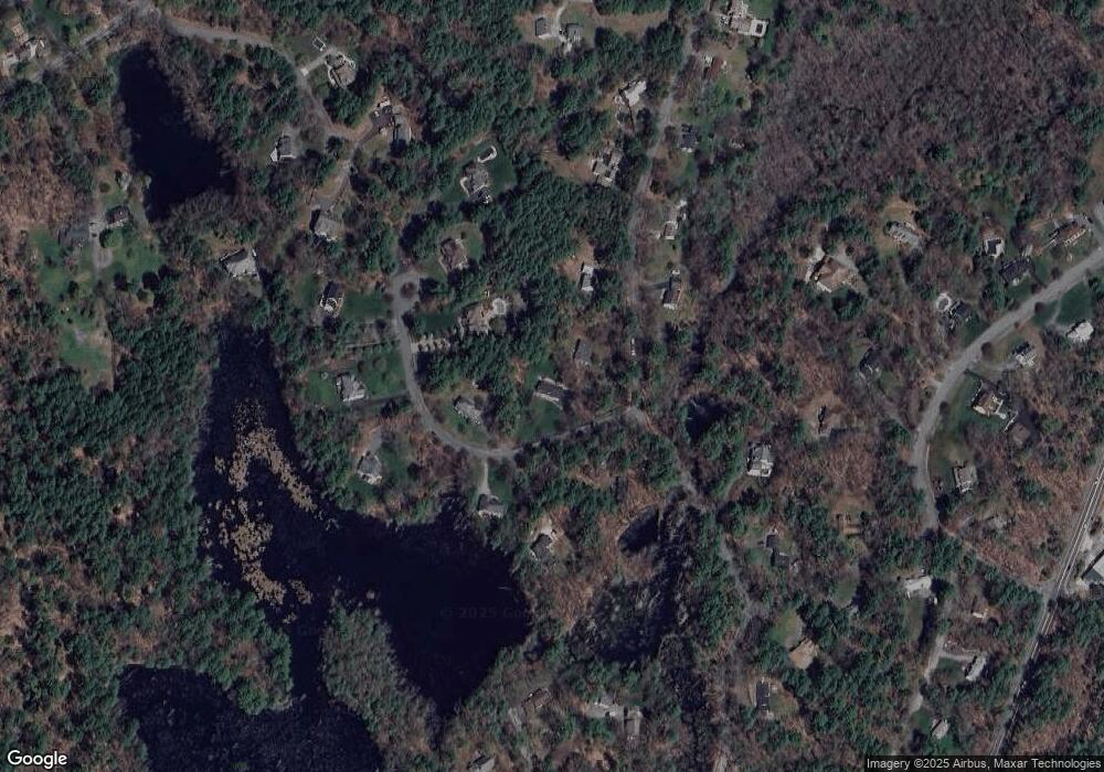
Map
Nearby Homes
- 29 Charlotte Rd
- 37 East St
- 43 Willowdale Rd
- 54 Willowdale Rd
- 88 Haverhill Rd
- 14 Pond St
- 4 Ruby Cir
- 8 Mansion Dr
- 75 Country Club Way
- 1 Court Ln
- 46 Buttonwood
- 61 Maplecroft Ln
- 30 Buttonwood
- 16 Killam Hill Rd
- 196 Country Club Way
- 76-78 Daniels Rd
- 8 Longmeadow Dr Unit 14
- 16 Cedarwood Ln
- 58 Washington St
- 117 Perkins Row