1 Plover Way Unit B Gloucester, MA 01930
West Gloucester NeighborhoodEstimated Value: $938,000 - $1,173,769
3
Beds
4
Baths
3,362
Sq Ft
$309/Sq Ft
Est. Value
About This Home
This home is located at 1 Plover Way Unit B, Gloucester, MA 01930 and is currently estimated at $1,040,442, approximately $309 per square foot. 1 Plover Way Unit B is a home located in Essex County with nearby schools including West Parish, Ralph B O'maley Middle School, and Gloucester High School.
Ownership History
Date
Name
Owned For
Owner Type
Purchase Details
Closed on
May 25, 2023
Sold by
Macinnis Joanne E
Bought by
Bella T and Macinnis
Current Estimated Value
Purchase Details
Closed on
Dec 17, 2013
Sold by
West Gloucester Capita
Bought by
Nickerson Ronald A and Nickerson Norma A
Purchase Details
Closed on
Nov 19, 2013
Sold by
W Gloucester Capital L
Bought by
Bacsik Holding T and Bacsik
Create a Home Valuation Report for This Property
The Home Valuation Report is an in-depth analysis detailing your home's value as well as a comparison with similar homes in the area
Home Values in the Area
Average Home Value in this Area
Purchase History
We collect this data history from publicly available records. To have your information removed, we recommend requesting removal directly through your county’s website.
| Date | Buyer | Sale Price | Title Company |
|---|---|---|---|
| Bella T | -- | None Available | |
| Nickerson Ronald A | $783,500 | -- | |
| Bacsik Holding T | $694,814 | -- |
Source: Public Records
Tax History
| Year | Tax Paid | Tax Assessment Tax Assessment Total Assessment is a certain percentage of the fair market value that is determined by local assessors to be the total taxable value of land and additions on the property. | Land | Improvement |
|---|---|---|---|---|
| 2025 | $9,732 | $1,001,200 | $0 | $1,001,200 |
| 2024 | $9,136 | $939,000 | $0 | $939,000 |
| 2023 | $9,259 | $874,300 | $0 | $874,300 |
| 2022 | $9,783 | $834,000 | $0 | $834,000 |
| 2021 | $10,569 | $849,600 | $0 | $849,600 |
| 2020 | $10,476 | $849,600 | $0 | $849,600 |
| 2019 | $10,000 | $788,000 | $0 | $788,000 |
| 2018 | $9,969 | $771,000 | $0 | $771,000 |
| 2017 | $9,433 | $715,200 | $0 | $715,200 |
| 2016 | $9,364 | $688,000 | $0 | $688,000 |
| 2015 | $9,346 | $684,700 | $0 | $684,700 |
Source: Public Records
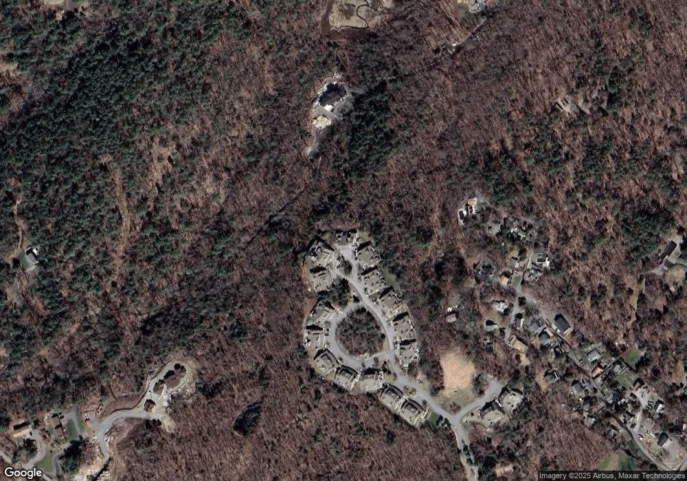
Map
Nearby Homes
- 5R Brooks Rd
- 222 Bray St
- 167 Atlantic St
- 178 Atlantic St
- 226 Atlantic St
- 10 Riverview Way Unit A
- 220 Atlantic St
- 6-8 Joppa Way
- 6 Corliss Ave
- 5 Samoset Rd Unit B
- 19 2 Penny Ln
- 368 Essex Ave
- 457 Washington St Unit 2
- 498 Washington St
- 31 Echo Ave
- 24 Cobblestone Ln Unit 603
- 24 Cobblestone Ln Unit 401
- 5 Lepage Ln
- 672 Washington St
- 45 Lufkin Point Rd
- 1 Plover Way Unit A
- 1 Plover Way Unit 1
- 1B Plover Way Unit 2
- 30 Plover Way Unit 2B
- 30 Plover Way Unit 2A
- 29 Plover Way Unit 2B
- 29 Plover Way Unit 2A
- 3A Plover Way Unit 3
- 3B Plover Way Unit 2
- 3B Plover Way Unit 4
- 2 Heron Cir Unit A
- 2B Heron Cir
- 2A Heron Cir
- 4 Plover Way Unit 28
- 4 Plover Way Unit 27
- 4 Plover Way
- 5 Plover Way Unit B
- 5B Plover Way Unit 6
- 5 Plover Way Unit 5
- 2 Plover Way
Your Personal Tour Guide
Ask me questions while you tour the home.