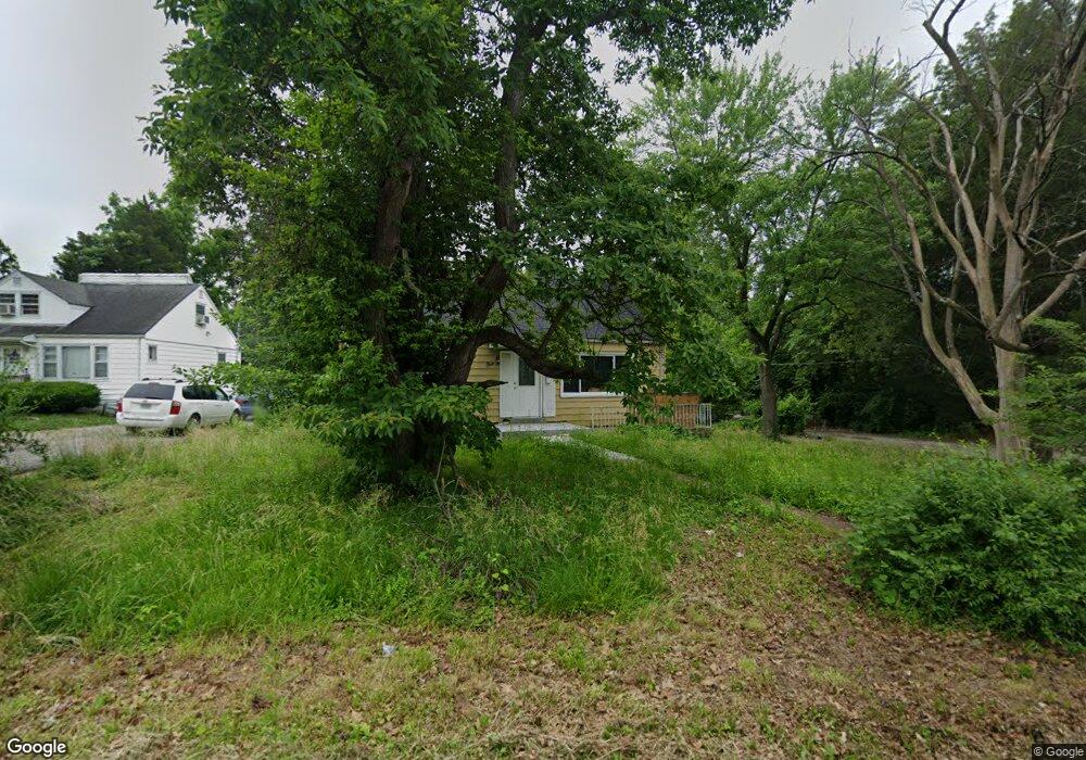
1 Plymouth Ct Saint Louis, MO 63134
Estimated Value: $78,593 - $115,000
4
Beds
1
Bath
1,061
Sq Ft
$99/Sq Ft
Est. Value
About This Home
This home is located at 1 Plymouth Ct, Saint Louis, MO 63134 and is currently estimated at $105,148, approximately $99 per square foot. 1 Plymouth Ct is a home located in St. Louis County with nearby schools including Ferguson Middle School, Johnson Wabash Elementary School, and McCluer High School.
Ownership History
Date
Name
Owned For
Owner Type
Purchase Details
Closed on
Jul 27, 2021
Sold by
King Deondre and King Moeishia
Bought by
King Deondre and King Moeishia
Current Estimated Value
Purchase Details
Closed on
May 3, 2021
Sold by
Gordon Johnny Freddie L
Bought by
Jiles Realty And Construction Llc
Create a Home Valuation Report for This Property
The Home Valuation Report is an in-depth analysis detailing your home's value as well as a comparison with similar homes in the area
Home Values in the Area
Average Home Value in this Area
Purchase History
| Date | Buyer | Sale Price | Title Company |
|---|---|---|---|
| King Deondre | -- | None Listed On Document | |
| King Deondre | -- | None Listed On Document | |
| Jiles Realty And Construction Llc | $7,000 | None Available |
Source: Public Records
Tax History Compared to Growth
Tax History
| Year | Tax Paid | Tax Assessment Tax Assessment Total Assessment is a certain percentage of the fair market value that is determined by local assessors to be the total taxable value of land and additions on the property. | Land | Improvement |
|---|---|---|---|---|
| 2025 | $173 | $16,840 | $2,110 | $14,730 |
| 2024 | $173 | $2,030 | $1,690 | $340 |
| 2023 | $173 | $2,030 | $1,690 | $340 |
| 2022 | $152 | $1,520 | $1,250 | $270 |
| 2021 | $148 | $1,520 | $1,250 | $270 |
| 2020 | $205 | $2,020 | $1,750 | $270 |
| 2019 | $201 | $2,020 | $1,750 | $270 |
| 2018 | $189 | $1,670 | $1,440 | $230 |
| 2017 | $185 | $1,670 | $1,440 | $230 |
| 2016 | $224 | $2,050 | $1,820 | $230 |
| 2015 | $226 | $2,050 | $1,820 | $230 |
| 2014 | $602 | $5,890 | $2,110 | $3,780 |
Source: Public Records
Map
Nearby Homes
- 324 Newell Dr
- 8027 Aline Ave
- 8042 Patterson Dr
- 213 Henquin Dr
- 806 Rolwes Ave
- 8219 Davenport Dr
- 614 January Ave
- 117 Henquin Dr
- 6130 Wulff Dr
- 116 Henquin Dr
- 8140 Packard Ave
- 218 N Marguerite Ave
- 439 Warford Ave
- 6612 Torlina Dr
- 415 Warford Ave
- 222 Wooster Dr
- 6016 Shillington Dr
- 138 N Marguerite Ave
- 810 Airport Rd
- 53 N Dade Ave
- 2 Plymouth Ct
- 3 Plymouth Ct
- 8000 Plymouth Ct
- 420 Thurston Ave
- 8 Plymouth Ct
- 430 Thurston Ave
- 4 Plymouth Ct
- 5 Plymouth Ct
- 7 Plymouth Ct
- 6 Plymouth Ct
- 8008 Plymouth Ct
- 436 Thurston Ave
- 7 Caldwell Ct
- 431 Thurston Ave
- 8001 Aline Ave
- 6 Caldwell Ct
- 8 Caldwell Ct
- 5 Caldwell Ct
- 8003 Aline Ave
- 6350 Witsell Ave