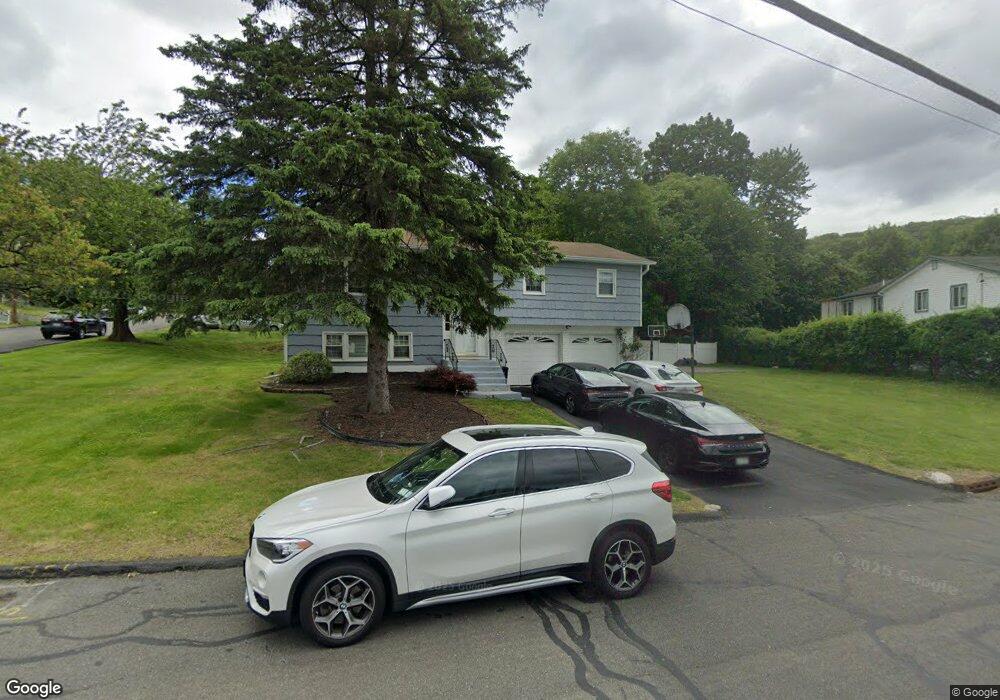
1 Poplar Rd Garnerville, NY 10923
Estimated Value: $660,077 - $713,000
4
Beds
2
Baths
1,212
Sq Ft
$576/Sq Ft
Est. Value
About This Home
This home is located at 1 Poplar Rd, Garnerville, NY 10923 and is currently estimated at $697,769, approximately $575 per square foot. 1 Poplar Rd is a home located in Rockland County with nearby schools including Thiells Elementary School, Willow Grove Middle School, and Fieldstone Secondary School.
Ownership History
Date
Name
Owned For
Owner Type
Purchase Details
Closed on
Nov 1, 2004
Sold by
Joseph Zamy Marie M
Bought by
Boyd William and Boyd Linda
Current Estimated Value
Home Financials for this Owner
Home Financials are based on the most recent Mortgage that was taken out on this home.
Original Mortgage
$346,500
Outstanding Balance
$200,329
Interest Rate
8.24%
Mortgage Type
Purchase Money Mortgage
Estimated Equity
$497,440
Purchase Details
Closed on
Sep 20, 2001
Sold by
Zamy Meleck and Joseph Zamy Marie M
Bought by
Joseph Zamy Marie M
Home Financials for this Owner
Home Financials are based on the most recent Mortgage that was taken out on this home.
Original Mortgage
$155,000
Interest Rate
9.25%
Create a Home Valuation Report for This Property
The Home Valuation Report is an in-depth analysis detailing your home's value as well as a comparison with similar homes in the area
Home Values in the Area
Average Home Value in this Area
Purchase History
| Date | Buyer | Sale Price | Title Company |
|---|---|---|---|
| Boyd William | $385,000 | National Granite Title Insur | |
| Joseph Zamy Marie M | $20,000 | Fidelity National Title Ins |
Source: Public Records
Mortgage History
| Date | Status | Borrower | Loan Amount |
|---|---|---|---|
| Open | Boyd William | $346,500 | |
| Previous Owner | Joseph Zamy Marie M | $155,000 |
Source: Public Records
Tax History
| Year | Tax Paid | Tax Assessment Tax Assessment Total Assessment is a certain percentage of the fair market value that is determined by local assessors to be the total taxable value of land and additions on the property. | Land | Improvement |
|---|---|---|---|---|
| 2024 | $20,616 | $268,800 | $101,800 | $167,000 |
| 2023 | $20,616 | $268,800 | $101,800 | $167,000 |
| 2022 | $4,355 | $268,800 | $101,800 | $167,000 |
| 2021 | $20,388 | $268,800 | $101,800 | $167,000 |
| 2020 | $11,719 | $268,800 | $101,800 | $167,000 |
| 2019 | $3,837 | $268,800 | $101,800 | $167,000 |
| 2018 | $11,394 | $268,800 | $101,800 | $167,000 |
| 2017 | $10,674 | $268,800 | $101,800 | $167,000 |
| 2016 | $10,659 | $268,800 | $101,800 | $167,000 |
| 2015 | -- | $268,800 | $101,800 | $167,000 |
| 2014 | -- | $268,800 | $101,800 | $167,000 |
Source: Public Records
Map
Nearby Homes
- 25 Crystal Hill Dr
- 11 Underhill Dr Unit 118
- 88 Crystal Hill Dr Unit 42
- 27 Ossman Dr
- 102 Crystal Hill Dr
- 104 Crystal Hill Dr Unit 50
- 1 Martino Way
- 23 Crescent Dr Unit 90
- 4 Curran Ct
- 22 Crescent Dr Unit 85
- 18 Crescent Dr Unit 69
- 5 Crescent Dr Unit 17
- 13 Crescent Dr Unit 50
- 15 Crescent Dr Unit 57
- 49 Phyllis Dr
- 40 Central Hwy
- 334 Richard Ct
- 466 Country Club Ln
- 117 Buckingham Ct Unit 117
- 332 Richard Ct Unit 33B
Your Personal Tour Guide
Ask me questions while you tour the home.