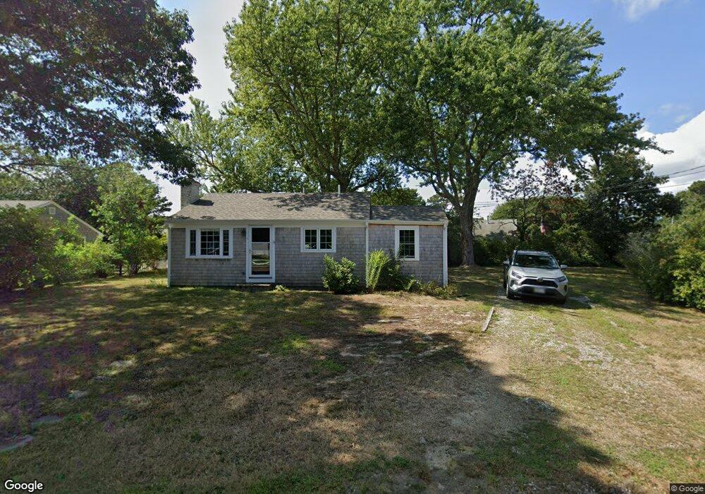
1 Puritan Ln Dennis Port, MA 02639
Dennis Port NeighborhoodEstimated Value: $368,000 - $523,000
2
Beds
1
Bath
800
Sq Ft
$571/Sq Ft
Est. Value
About This Home
This home is located at 1 Puritan Ln, Dennis Port, MA 02639 and is currently estimated at $457,182, approximately $571 per square foot. 1 Puritan Ln is a home located in Barnstable County with nearby schools including Dennis-Yarmouth Regional High School and St. Pius X. School.
Ownership History
Date
Name
Owned For
Owner Type
Purchase Details
Closed on
Nov 19, 1993
Sold by
M & R Rt
Bought by
Macdonald Katherine A
Current Estimated Value
Home Financials for this Owner
Home Financials are based on the most recent Mortgage that was taken out on this home.
Original Mortgage
$57,600
Interest Rate
6.77%
Mortgage Type
Purchase Money Mortgage
Create a Home Valuation Report for This Property
The Home Valuation Report is an in-depth analysis detailing your home's value as well as a comparison with similar homes in the area
Home Values in the Area
Average Home Value in this Area
Purchase History
| Date | Buyer | Sale Price | Title Company |
|---|---|---|---|
| Macdonald Katherine A | $72,000 | -- |
Source: Public Records
Mortgage History
| Date | Status | Borrower | Loan Amount |
|---|---|---|---|
| Closed | Macdonald Katherine A | $57,600 |
Source: Public Records
Tax History Compared to Growth
Tax History
| Year | Tax Paid | Tax Assessment Tax Assessment Total Assessment is a certain percentage of the fair market value that is determined by local assessors to be the total taxable value of land and additions on the property. | Land | Improvement |
|---|---|---|---|---|
| 2025 | $1,735 | $400,600 | $189,400 | $211,200 |
| 2024 | $1,600 | $364,500 | $182,100 | $182,400 |
| 2023 | $1,438 | $308,000 | $165,600 | $142,400 |
| 2022 | $1,420 | $253,500 | $149,100 | $104,400 |
| 2021 | $1,392 | $230,900 | $146,200 | $84,700 |
| 2020 | $1,429 | $234,300 | $157,500 | $76,800 |
| 2019 | $1,373 | $222,600 | $154,400 | $68,200 |
| 2018 | $1,320 | $208,200 | $147,000 | $61,200 |
| 2017 | $1,204 | $195,700 | $136,500 | $59,200 |
| 2016 | $1,278 | $195,700 | $147,000 | $48,700 |
| 2015 | $1,275 | $199,200 | $147,000 | $52,200 |
| 2014 | $1,132 | $178,200 | $126,000 | $52,200 |
Source: Public Records
Map
Nearby Homes
- 19 Standish Way
- 4 Coffey Ln
- 125 Main St Unit 3
- 71 Main St
- 22 Wixon Rd
- 72 Bassett Ln
- 268 Main St
- 31 Easy St
- 80 Michaels Ave
- 12 Spoonbill Rd
- 95 Center St
- 15 Woodside Park Rd
- 78 Upper County Rd Unit A&B
- 78 Upper County Rd
- 26 Center St
- 12 Candlewood Ln Unit 2-9
- 24 Indian Trail
- 22 Ferncliff Rd
- 20 Aunt Debbys Rd
- 37 Ocean Dr Unit 2