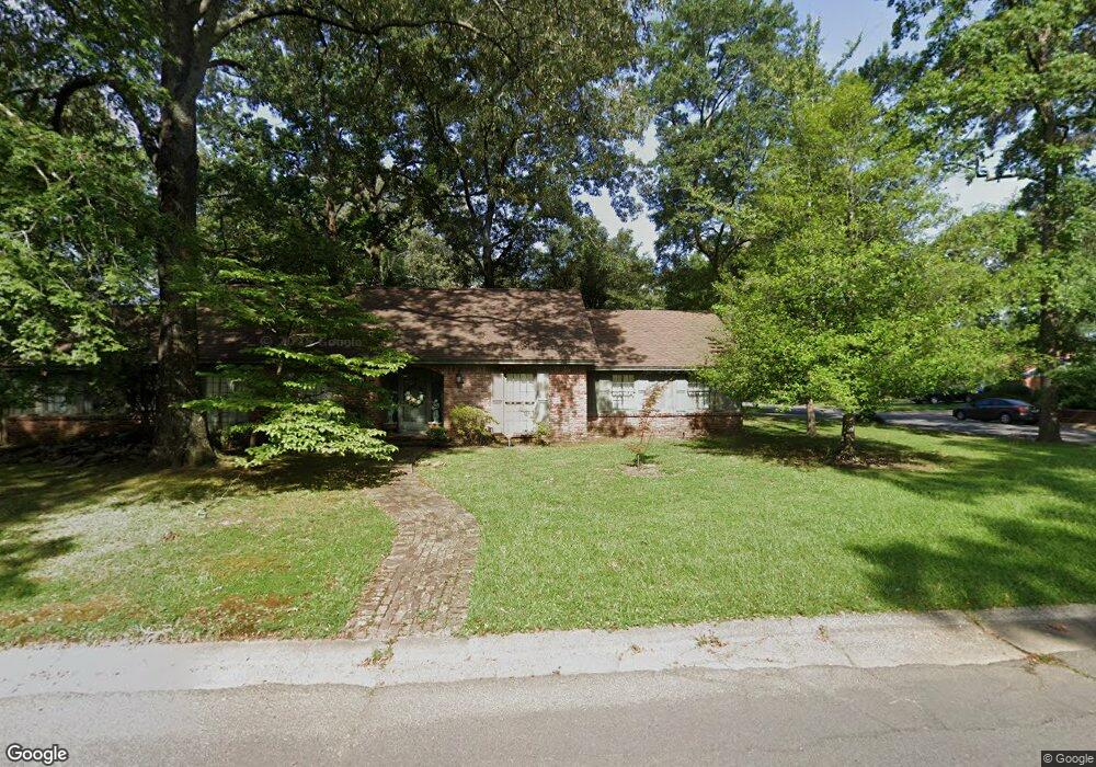
1 Red Bud Dr Conway, AR 72034
Southwest Conway NeighborhoodEstimated Value: $322,000 - $387,000
Studio
3
Baths
3,115
Sq Ft
$111/Sq Ft
Est. Value
About This Home
This home is located at 1 Red Bud Dr, Conway, AR 72034 and is currently estimated at $347,092, approximately $111 per square foot. 1 Red Bud Dr is a home located in Faulkner County with nearby schools including Marguerite Vann Elementary School, Carl Stuart Middle School, and Conway Junior High School.
Ownership History
Date
Name
Owned For
Owner Type
Purchase Details
Closed on
Jun 4, 2025
Sold by
Hinds Karen L
Bought by
Ivo Jones Designs Inc
Current Estimated Value
Purchase Details
Closed on
Oct 3, 2005
Bought by
Jones and Johnson
Home Financials for this Owner
Home Financials are based on the most recent Mortgage that was taken out on this home.
Original Mortgage
$168,700
Interest Rate
5.76%
Mortgage Type
New Conventional
Purchase Details
Closed on
Sep 27, 2005
Sold by
Harrell Zella K
Bought by
Jones Ivo F and Johnson Charles Jay
Home Financials for this Owner
Home Financials are based on the most recent Mortgage that was taken out on this home.
Original Mortgage
$168,700
Interest Rate
5.76%
Mortgage Type
New Conventional
Purchase Details
Closed on
Jun 29, 2001
Bought by
Trust
Create a Home Valuation Report for This Property
The Home Valuation Report is an in-depth analysis detailing your home's value as well as a comparison with similar homes in the area
Home Values in the Area
Average Home Value in this Area
Purchase History
| Date | Buyer | Sale Price | Title Company |
|---|---|---|---|
| Ivo Jones Designs Inc | $130,000 | Faulkner County Title Company | |
| Jones | -- | -- | |
| Jones Ivo F | -- | None Available | |
| Jones | -- | -- | |
| Trust | -- | -- | |
| Affid Of Trust | -- | -- |
Source: Public Records
Mortgage History
| Date | Status | Borrower | Loan Amount |
|---|---|---|---|
| Previous Owner | Jones Ivo F | $168,700 |
Source: Public Records
Tax History
| Year | Tax Paid | Tax Assessment Tax Assessment Total Assessment is a certain percentage of the fair market value that is determined by local assessors to be the total taxable value of land and additions on the property. | Land | Improvement |
|---|---|---|---|---|
| 2025 | $1,813 | $68,760 | $3,600 | $65,160 |
| 2024 | $1,813 | $68,760 | $3,600 | $65,160 |
| 2023 | $1,813 | $47,340 | $3,600 | $43,740 |
| 2022 | $1,438 | $47,340 | $3,600 | $43,740 |
| 2021 | $1,438 | $47,340 | $3,600 | $43,740 |
| 2020 | $1,813 | $40,360 | $3,600 | $36,760 |
| 2019 | $1,438 | $40,360 | $3,600 | $36,760 |
| 2018 | $1,463 | $40,360 | $3,600 | $36,760 |
| 2017 | $1,463 | $40,360 | $3,600 | $36,760 |
| 2016 | $1,463 | $35,830 | $3,600 | $32,230 |
| 2015 | $1,813 | $44,260 | $3,600 | $40,660 |
| 2014 | $1,463 | $44,260 | $3,600 | $40,660 |
Source: Public Records
Map
Nearby Homes
- 13 Oakdale Dr
- 124 Shamrock Dr
- 2765 Carl Stuart St
- 2830 Anna Ln
- Lot 6 Orchard Hill Ph 4
- 207 Fairway Dr
- 2585 Adamsbrooke Dr
- 297 Southwick Cove
- 1951 Torreyson St
- 2550 Adamsbrooke Dr
- 1936 College Ave
- 434 Mildred St
- 232 Mitchell St
- 3035 Cottontop Rd
- 2500 Margaret Cir
- 2860 Broadmoor Dr
- 3065 Cottontop Rd
- 1910 Hillman St
- 953 Joseph Dr
- 954 Joseph Dr
Your Personal Tour Guide
Ask me questions while you tour the home.