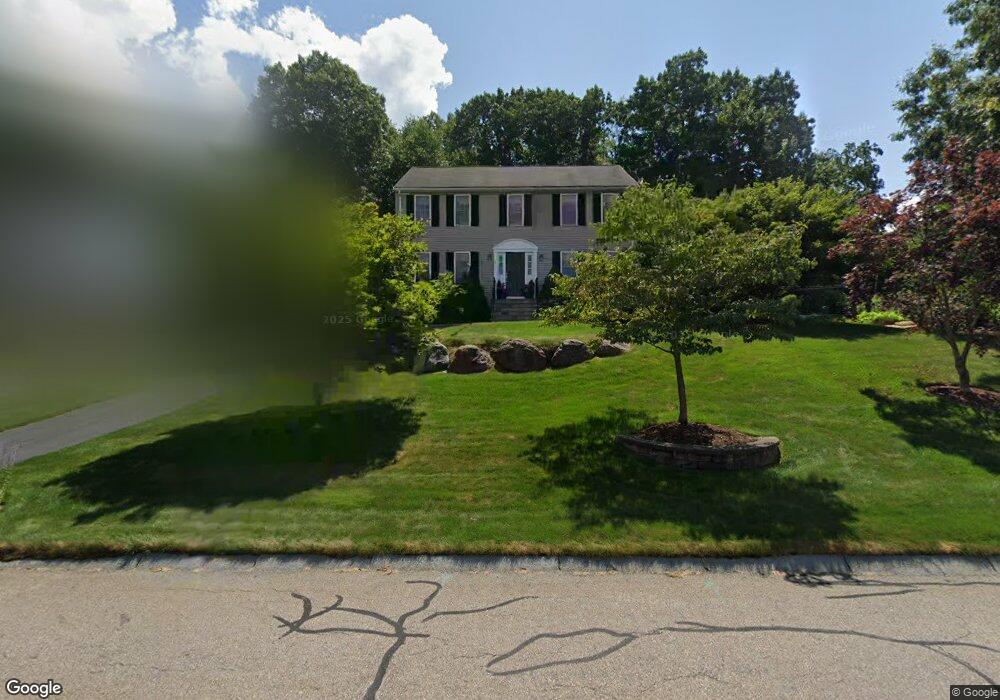
1 Red Oak Rd North Attleboro, MA 02760
North Attleboro NeighborhoodEstimated Value: $707,250 - $837,000
3
Beds
3
Baths
2,213
Sq Ft
$344/Sq Ft
Est. Value
About This Home
This home is located at 1 Red Oak Rd, North Attleboro, MA 02760 and is currently estimated at $760,563, approximately $343 per square foot. 1 Red Oak Rd is a home located in Bristol County with nearby schools including North Attleboro High School, Cadence Academy Preschool - North Attleborough, and Bishop Feehan High School.
Ownership History
Date
Name
Owned For
Owner Type
Purchase Details
Closed on
Jun 23, 2014
Sold by
Vernaglia Patricia A
Bought by
Vernaglia Anthony P
Current Estimated Value
Home Financials for this Owner
Home Financials are based on the most recent Mortgage that was taken out on this home.
Original Mortgage
$275,000
Outstanding Balance
$209,250
Interest Rate
4.21%
Mortgage Type
New Conventional
Estimated Equity
$551,313
Purchase Details
Closed on
Mar 16, 2001
Sold by
Knobel John A and Knobel Jeannine M
Bought by
Vernaglia Anthony P and Vernaglia Patricia A
Home Financials for this Owner
Home Financials are based on the most recent Mortgage that was taken out on this home.
Original Mortgage
$150,000
Interest Rate
7.01%
Mortgage Type
Purchase Money Mortgage
Create a Home Valuation Report for This Property
The Home Valuation Report is an in-depth analysis detailing your home's value as well as a comparison with similar homes in the area
Home Values in the Area
Average Home Value in this Area
Purchase History
| Date | Buyer | Sale Price | Title Company |
|---|---|---|---|
| Vernaglia Anthony P | -- | -- | |
| Vernaglia Anthony P | $295,000 | -- |
Source: Public Records
Mortgage History
| Date | Status | Borrower | Loan Amount |
|---|---|---|---|
| Open | Vernaglia Anthony P | $275,000 | |
| Previous Owner | Vernaglia Anthony P | $75,000 | |
| Previous Owner | Vernaglia Anthony P | $150,000 |
Source: Public Records
Tax History Compared to Growth
Tax History
| Year | Tax Paid | Tax Assessment Tax Assessment Total Assessment is a certain percentage of the fair market value that is determined by local assessors to be the total taxable value of land and additions on the property. | Land | Improvement |
|---|---|---|---|---|
| 2025 | $6,954 | $589,800 | $153,000 | $436,800 |
| 2024 | $6,991 | $605,800 | $153,000 | $452,800 |
| 2023 | $6,753 | $528,000 | $159,600 | $368,400 |
| 2022 | $6,317 | $453,500 | $153,000 | $300,500 |
| 2021 | $6,189 | $433,700 | $153,000 | $280,700 |
| 2020 | $6,107 | $425,600 | $153,000 | $272,600 |
| 2019 | $5,863 | $411,700 | $139,100 | $272,600 |
| 2018 | $5,279 | $395,700 | $139,100 | $256,600 |
| 2017 | $5,231 | $395,700 | $139,100 | $256,600 |
| 2016 | $5,345 | $404,300 | $161,300 | $243,000 |
| 2015 | $5,213 | $396,700 | $168,000 | $228,700 |
| 2014 | $4,980 | $376,100 | $147,400 | $228,700 |
Source: Public Records
Map
Nearby Homes
- 57 Vine St
- 11 Landry Ave
- 10 Sleepy Hollow Cir
- Lot 5 Jeffrey Dr
- Lot 2 Jeffrey Dr
- 16 Raymond Hall Dr
- 115 Westfield Dr
- 15 Old Wood Rd
- 12 Houde St
- 116 George St
- 11 Buckthorn Ln
- 36 Cranberry Rd
- 59 Laurelwood Dr
- 17 Peters Way
- 3 Serengeti Dr
- 546 Towne St
- 122 Mary Ann Way
- 2 George St Unit C
- 28 Messenger St
- 166 E Bacon St Unit 4
- 11 Red Oak Rd
- 2 Red Oak Rd
- 152 Landry Ave
- 132 Landry Ave
- 186 Blackberry Rd
- 21 Red Oak Rd
- 71 Landry Ave
- 19 Red Oak Rd
- 162 Landry Ave
- 12 Red Oak Rd
- 12 Blue Rock Hill Ln
- 185 Blackberry Rd
- 122 Landry Ave
- 22 Blue Rock Hill Ln
- 22 Red Oak Rd
- 31 Red Oak Rd
- 176 Blackberry Rd
- 172 Landry Ave
- 112 Landry Ave
- 167 Landry Ave