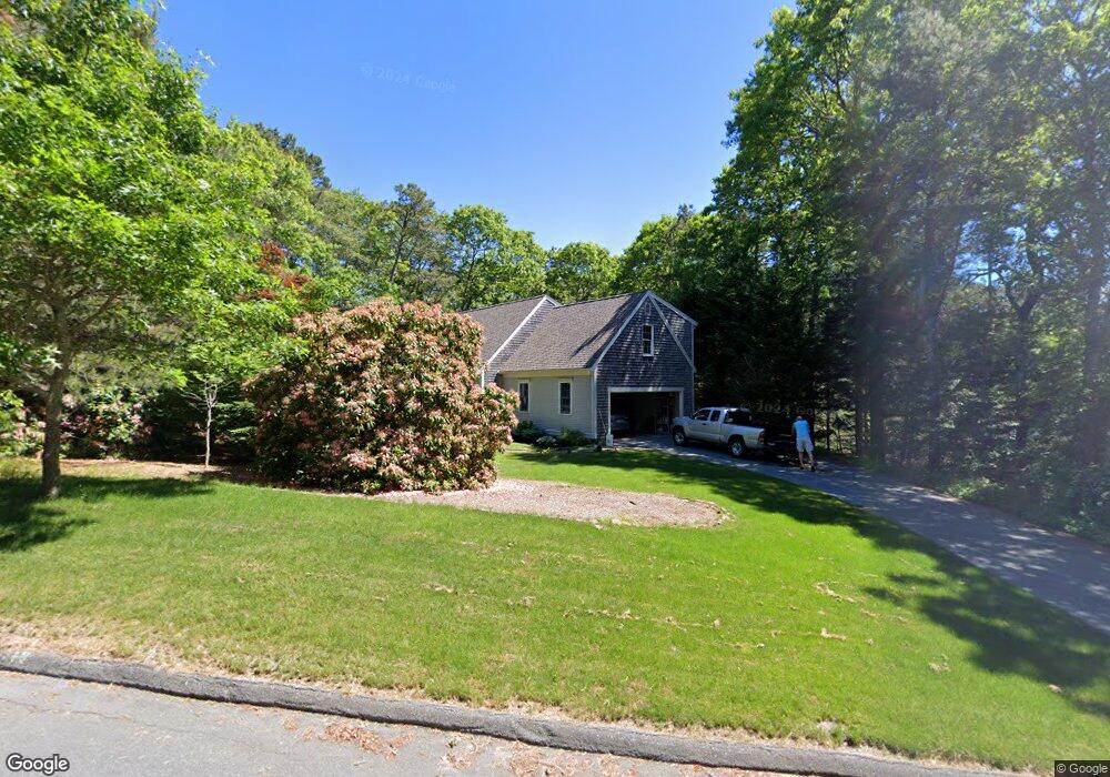
1 Ridgeway Ln Sandwich, MA 02563
Estimated Value: $765,261 - $821,000
4
Beds
3
Baths
2,001
Sq Ft
$396/Sq Ft
Est. Value
About This Home
This home is located at 1 Ridgeway Ln, Sandwich, MA 02563 and is currently estimated at $792,565, approximately $396 per square foot. 1 Ridgeway Ln is a home located in Barnstable County with nearby schools including Sandwich Middle High School, Montessori School of Sandwich, and Riverview School.
Ownership History
Date
Name
Owned For
Owner Type
Purchase Details
Closed on
Mar 16, 2022
Sold by
Power Mary A and Power Kevin C
Bought by
Power Ret
Current Estimated Value
Purchase Details
Closed on
Sep 25, 1998
Sold by
Fitzpatrick Home Bldg
Bought by
Trask Maryann and Power Kevin C
Home Financials for this Owner
Home Financials are based on the most recent Mortgage that was taken out on this home.
Original Mortgage
$105,000
Interest Rate
6.87%
Mortgage Type
Purchase Money Mortgage
Purchase Details
Closed on
May 27, 1998
Sold by
Parry Donald R and Parry Renee F
Bought by
Fitzpatrick Hm Bldg
Home Financials for this Owner
Home Financials are based on the most recent Mortgage that was taken out on this home.
Original Mortgage
$159,920
Interest Rate
7.12%
Mortgage Type
Purchase Money Mortgage
Create a Home Valuation Report for This Property
The Home Valuation Report is an in-depth analysis detailing your home's value as well as a comparison with similar homes in the area
Home Values in the Area
Average Home Value in this Area
Purchase History
| Date | Buyer | Sale Price | Title Company |
|---|---|---|---|
| Power Ret | -- | None Available | |
| Trask Maryann | $178,100 | -- | |
| Fitzpatrick Hm Bldg | $39,000 | -- |
Source: Public Records
Mortgage History
| Date | Status | Borrower | Loan Amount |
|---|---|---|---|
| Previous Owner | Fitzpatrick Hm Bldg | $105,000 | |
| Previous Owner | Fitzpatrick Hm Bldg | $159,920 |
Source: Public Records
Tax History Compared to Growth
Tax History
| Year | Tax Paid | Tax Assessment Tax Assessment Total Assessment is a certain percentage of the fair market value that is determined by local assessors to be the total taxable value of land and additions on the property. | Land | Improvement |
|---|---|---|---|---|
| 2025 | $6,479 | $613,000 | $170,400 | $442,600 |
| 2024 | $6,222 | $576,100 | $152,200 | $423,900 |
| 2023 | $6,080 | $528,700 | $138,400 | $390,300 |
| 2022 | $6,101 | $463,600 | $144,900 | $318,700 |
| 2021 | $5,721 | $415,500 | $139,300 | $276,200 |
| 2020 | $5,788 | $404,500 | $139,200 | $265,300 |
| 2019 | $5,837 | $407,600 | $159,400 | $248,200 |
| 2018 | $5,434 | $380,300 | $146,600 | $233,700 |
| 2017 | $5,370 | $359,700 | $141,900 | $217,800 |
| 2016 | $5,140 | $355,200 | $140,400 | $214,800 |
| 2015 | $5,277 | $356,100 | $145,500 | $210,600 |
Source: Public Records
Map
Nearby Homes
- 4 Weaver Way
- 112 Great Hill Rd
- 110 Great Hill Rd
- 109 Great Hill Rd
- 8 Weaver Way
- 111 Great Hill Rd
- 3 Weaver Way
- 2 Weaver Way
- 107 Great Hill Rd
- 5 Weaver Way
- 7 Weaver Way
- 108 Great Hill Rd
- 113 Great Hill Rd
- 9 Weaver Way
- 1 Weaver Way
- 116 Great Hill Rd
- 106 Great Hill Rd
- 10 Weaver Way
- 115 Great Hill Rd
- 11 Weaver Way