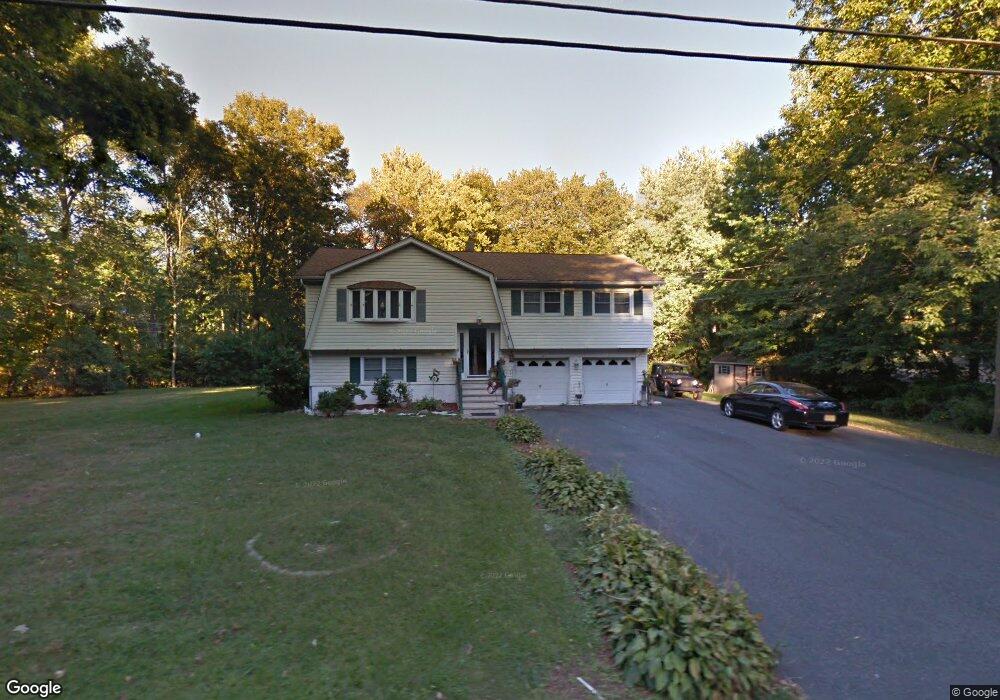
1 River Rd Stanhope, NJ 07874
Estimated Value: $442,108 - $603,000
Studio
--
Bath
1,810
Sq Ft
$290/Sq Ft
Est. Value
About This Home
This home is located at 1 River Rd, Stanhope, NJ 07874 and is currently estimated at $524,527, approximately $289 per square foot. 1 River Rd is a home located in Sussex County with nearby schools including Byram Lakes Elementary School, Byram Township Intermediate School, and Lenape Val Regional High School.
Ownership History
Date
Name
Owned For
Owner Type
Purchase Details
Closed on
May 25, 1999
Sold by
Marantino Frank A and Marantino Beatrice A
Bought by
Garrison Charles L and Garrison Denise
Current Estimated Value
Home Financials for this Owner
Home Financials are based on the most recent Mortgage that was taken out on this home.
Original Mortgage
$132,000
Outstanding Balance
$33,486
Interest Rate
6.82%
Mortgage Type
Stand Alone First
Estimated Equity
$491,041
Purchase Details
Closed on
Oct 31, 1995
Sold by
Northern Lights Inc
Bought by
Calestini Raymond and Bates Eva
Create a Home Valuation Report for This Property
The Home Valuation Report is an in-depth analysis detailing your home's value as well as a comparison with similar homes in the area
Home Values in the Area
Average Home Value in this Area
Purchase History
| Date | Buyer | Sale Price | Title Company |
|---|---|---|---|
| Garrison Charles L | $201,500 | -- | |
| Calestini Raymond | $27,500 | -- |
Source: Public Records
Mortgage History
| Date | Status | Borrower | Loan Amount |
|---|---|---|---|
| Open | Garrison Charles L | $132,000 |
Source: Public Records
Tax History
| Year | Tax Paid | Tax Assessment Tax Assessment Total Assessment is a certain percentage of the fair market value that is determined by local assessors to be the total taxable value of land and additions on the property. | Land | Improvement |
|---|---|---|---|---|
| 2025 | $9,809 | $256,100 | $101,300 | $154,800 |
| 2024 | $9,634 | $256,100 | $101,300 | $154,800 |
Source: Public Records
Map
Nearby Homes
- 2 Robert St
- 11 Beech St
- 9 Newton Ave
- 45 Belton St
- 7 U S Highway 206
- 71 U S Highway 206
- 2007A Stonegate Ln Unit 2007A
- 329 Alpine Ct Unit 29
- 573 Dell Place Unit 73
- 579 Dell Place Unit 79
- 15291 Aspen Ct Unit 291
- 16298 Dell Place Unit 298
- 8 Spencer St
- 4 Elizabeth Ave
- 35 Silas Rd
- 58 Silas Rd
- 48 Silas Rd
- 58 Brooklyn Rd
- 49 Brooklyn Rd
- 16-18 King St
Your Personal Tour Guide
Ask me questions while you tour the home.