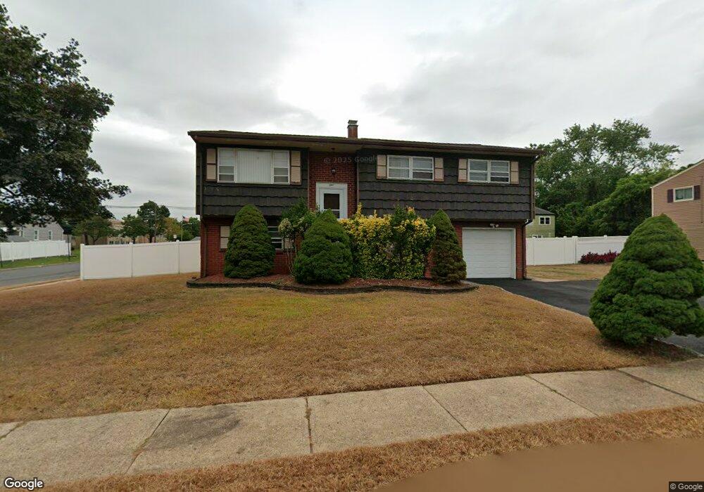
1 Robert C Keri Ct Somerset, NJ 08873
Estimated Value: $492,000 - $584,000
--
Bed
--
Bath
1,998
Sq Ft
$263/Sq Ft
Est. Value
About This Home
This home is located at 1 Robert C Keri Ct, Somerset, NJ 08873 and is currently estimated at $525,326, approximately $262 per square foot. 1 Robert C Keri Ct is a home located in Somerset County with nearby schools including Franklin High School.
Ownership History
Date
Name
Owned For
Owner Type
Purchase Details
Closed on
Dec 6, 1991
Sold by
Security Pacific Financial Services
Bought by
Nwosu Sam and Nwosu Esther
Current Estimated Value
Purchase Details
Closed on
Apr 8, 1991
Sold by
Lund Robert H Sheriff
Bought by
Security Pacific Financial Services
Create a Home Valuation Report for This Property
The Home Valuation Report is an in-depth analysis detailing your home's value as well as a comparison with similar homes in the area
Home Values in the Area
Average Home Value in this Area
Purchase History
| Date | Buyer | Sale Price | Title Company |
|---|---|---|---|
| Nwosu Sam | $130,000 | -- | |
| Security Pacific Financial Services | $51,800 | -- |
Source: Public Records
Tax History Compared to Growth
Tax History
| Year | Tax Paid | Tax Assessment Tax Assessment Total Assessment is a certain percentage of the fair market value that is determined by local assessors to be the total taxable value of land and additions on the property. | Land | Improvement |
|---|---|---|---|---|
| 2025 | $6,938 | $455,400 | $219,000 | $236,400 |
| 2024 | $6,938 | $380,800 | $219,000 | $161,800 |
| 2023 | $7,000 | $360,800 | $199,000 | $161,800 |
| 2022 | $7,082 | $345,800 | $184,000 | $161,800 |
| 2021 | $6,192 | $305,800 | $144,000 | $161,800 |
| 2020 | $6,422 | $280,800 | $119,000 | $161,800 |
| 2019 | $6,277 | $270,800 | $109,000 | $161,800 |
| 2018 | $6,342 | $270,800 | $109,000 | $161,800 |
| 2017 | $6,602 | $280,800 | $119,000 | $161,800 |
| 2016 | $6,980 | $294,400 | $119,000 | $175,400 |
| 2015 | $6,933 | $294,400 | $119,000 | $175,400 |
| 2014 | $6,830 | $294,400 | $119,000 | $175,400 |
Source: Public Records
Map
Nearby Homes
- 69 Robbins Ave
- 56 Marvin Ave
- 4 Fraley Dr
- 25 Oakbrook Place
- 30 Whittier Ave
- 240 New York Ave
- 168 Harrison St
- 11 Lincoln Place
- 497 Easton Ave
- 314 Easton Ave
- 32 Hawthorne Dr
- 612 Hamilton St
- 15 Barker Rd
- 225 Irvington Ave
- 7 Old Lane Highwood
- 12 Barker Rd
- 97 Sydney Place
- 94 Main St
- 85 Winston Dr
- 453 Franklin Blvd
- 3 Robert C Keri Ct
- 177 Highland Ave
- 185 Highland Ave
- 2 Robert C Keri Ct
- 5 Robert C Keri Ct
- 109 Highland Ave
- 4 Robert C Keri Ct
- 191 Highland Ave
- 6 Robert C Keri Ct
- 7 Robert C Keri Ct
- 52 Donald Ave
- 107 Highland Ave
- 62 Donald Ave
- 197 Highland Ave
- 8 Robert C Keri Ct Unit 2
- 8 Robert C Keri Ct
- 68 Donald Ave
- 9 Robert C Keri Ct
- 105 Highland Ave
- 203 Highland Ave