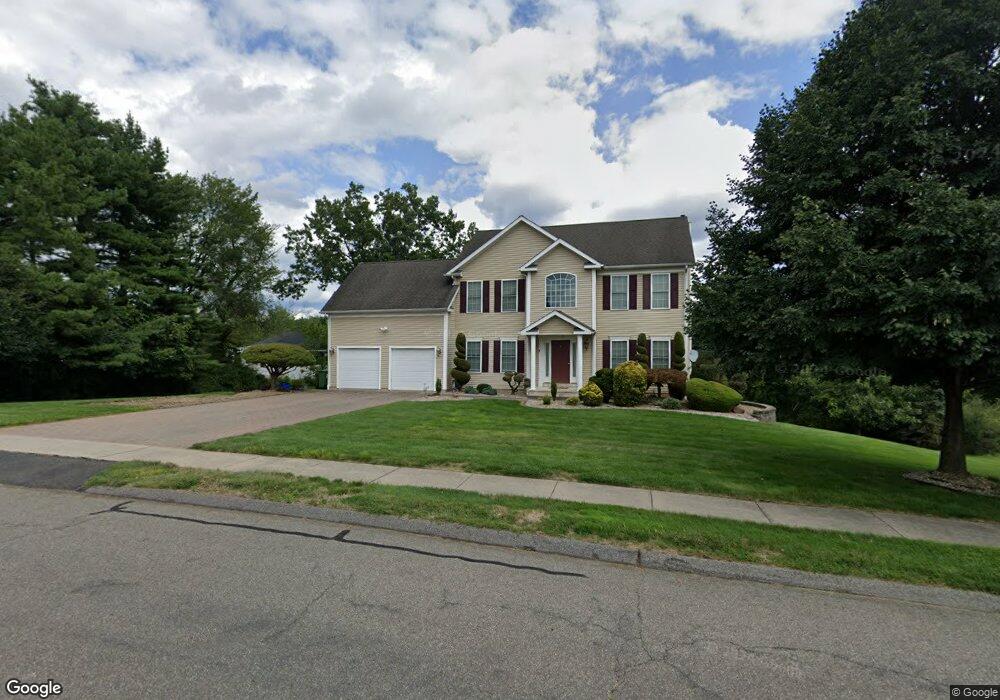
1 Robertson Rd Cromwell, CT 06416
Estimated Value: $678,482 - $740,000
4
Beds
4
Baths
2,556
Sq Ft
$274/Sq Ft
Est. Value
About This Home
This home is located at 1 Robertson Rd, Cromwell, CT 06416 and is currently estimated at $700,871, approximately $274 per square foot. 1 Robertson Rd is a home located in Middlesex County with nearby schools including Edna C. Stevens School, Woodside Intermediate School, and Cromwell Middle School.
Ownership History
Date
Name
Owned For
Owner Type
Purchase Details
Closed on
Aug 27, 2013
Sold by
Kwasnik Olga
Bought by
Polkowski Jospeh B
Current Estimated Value
Home Financials for this Owner
Home Financials are based on the most recent Mortgage that was taken out on this home.
Original Mortgage
$53,177
Interest Rate
4.4%
Purchase Details
Closed on
Jan 18, 2005
Sold by
Yvon Beaudoin Bldrs In
Bought by
Polkowski Joseph B and Kwasnik Olga
Home Financials for this Owner
Home Financials are based on the most recent Mortgage that was taken out on this home.
Original Mortgage
$145,000
Interest Rate
5.81%
Create a Home Valuation Report for This Property
The Home Valuation Report is an in-depth analysis detailing your home's value as well as a comparison with similar homes in the area
Home Values in the Area
Average Home Value in this Area
Purchase History
| Date | Buyer | Sale Price | Title Company |
|---|---|---|---|
| Polkowski Jospeh B | $150,000 | -- | |
| Polkowski Joseph B | $399,900 | -- |
Source: Public Records
Mortgage History
| Date | Status | Borrower | Loan Amount |
|---|---|---|---|
| Closed | Polkowski Joseph B | $53,177 | |
| Previous Owner | Polkowski Joseph B | $145,000 |
Source: Public Records
Tax History
| Year | Tax Paid | Tax Assessment Tax Assessment Total Assessment is a certain percentage of the fair market value that is determined by local assessors to be the total taxable value of land and additions on the property. | Land | Improvement |
|---|---|---|---|---|
| 2025 | $10,410 | $338,100 | $105,000 | $233,100 |
| 2024 | $10,167 | $338,100 | $105,000 | $233,100 |
| 2023 | $9,944 | $338,100 | $105,000 | $233,100 |
| 2022 | $9,001 | $270,060 | $91,490 | $178,570 |
| 2021 | $9,001 | $270,060 | $91,490 | $178,570 |
| 2020 | $8,866 | $270,060 | $91,490 | $178,570 |
| 2019 | $8,866 | $270,060 | $91,490 | $178,570 |
| 2018 | $8,866 | $270,060 | $91,490 | $178,570 |
| 2017 | $8,328 | $245,460 | $84,080 | $161,380 |
| 2016 | $8,255 | $245,460 | $84,080 | $161,380 |
| 2015 | $7,703 | $245,460 | $84,080 | $161,380 |
| 2014 | $8,169 | $245,460 | $84,080 | $161,380 |
Source: Public Records
Map
Nearby Homes
- 4 N Ridge Dr
- 104 North Rd
- 37 Coles Rd
- 34 Woodsboro Cir Unit 34
- 43 Sunridge Ln
- 3 Avon Dale Rd Unit 3
- 3 Hunters Run Unit 3
- 30 Glenview Dr Unit 30
- 159 Evergreen Rd
- 0 Middle St
- 134 Trolley Crossing Ln
- 10 Clubhouse Dr
- 59 Trolley Crossing Ln Unit 59
- 7 Willow Ct Unit 7
- 9 Willow Ct
- 22 Linda Ct Unit 22
- 10 Dogwood Ct Unit 10
- 302 Limner Cir Unit 302
- 1 Great Oak Ct
- 234 Skyview Dr Unit 234
Your Personal Tour Guide
Ask me questions while you tour the home.