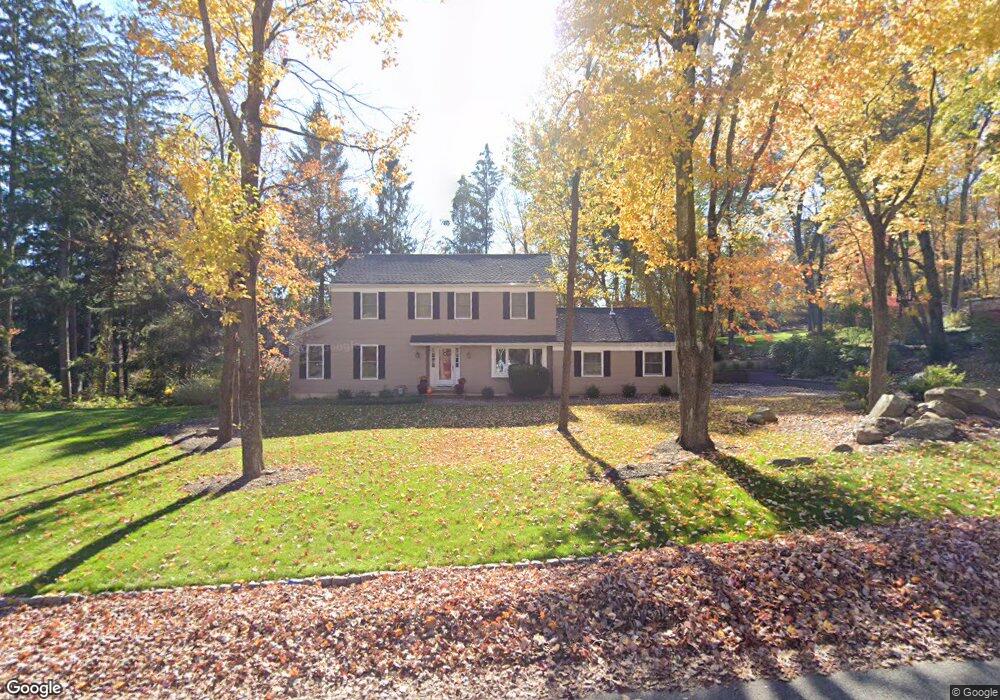
1 Robin Dr Randolph, NJ 07869
Estimated Value: $695,283 - $846,000
Studio
--
Bath
2,217
Sq Ft
$348/Sq Ft
Est. Value
About This Home
This home is located at 1 Robin Dr, Randolph, NJ 07869 and is currently estimated at $772,321, approximately $348 per square foot. 1 Robin Dr is a home located in Morris County with nearby schools including Randolph High School, Randolph Middle School, and Apple Montessori Schools and Camps - Randolph.
Ownership History
Date
Name
Owned For
Owner Type
Purchase Details
Closed on
Jun 2, 2006
Sold by
Adams James W
Bought by
Willams Richard J
Current Estimated Value
Home Financials for this Owner
Home Financials are based on the most recent Mortgage that was taken out on this home.
Original Mortgage
$442,000
Outstanding Balance
$249,549
Interest Rate
5.87%
Mortgage Type
Adjustable Rate Mortgage/ARM
Estimated Equity
$522,772
Create a Home Valuation Report for This Property
The Home Valuation Report is an in-depth analysis detailing your home's value as well as a comparison with similar homes in the area
Home Values in the Area
Average Home Value in this Area
Purchase History
| Date | Buyer | Sale Price | Title Company |
|---|---|---|---|
| Willams Richard J | $552,500 | -- |
Source: Public Records
Mortgage History
| Date | Status | Borrower | Loan Amount |
|---|---|---|---|
| Open | Willams Richard J | $442,000 |
Source: Public Records
Tax History
| Year | Tax Paid | Tax Assessment Tax Assessment Total Assessment is a certain percentage of the fair market value that is determined by local assessors to be the total taxable value of land and additions on the property. | Land | Improvement |
|---|---|---|---|---|
| 2025 | $13,062 | $461,400 | $195,700 | $265,700 |
| 2024 | $12,735 | $461,400 | $195,700 | $265,700 |
Source: Public Records
Map
Nearby Homes
- 384 Millbrook Ave
- 107 High St
- 181 Center Grove Rd
- 12 Birch St
- 3 Marble Ln
- 121 W Munson Ave
- 37 Kearney St
- 33 Shongum Rd
- 343 & 339 Quaker Church Rd
- 77B Highland Way
- 71 Washington Ave Unit 73
- 10 Bayberry Ln
- 44 Shongum Rd
- 14 Jessica Ln
- 5 A&B Dewey St
- 188 Casterline Rd
- 142 W Blackwell St
- 170 Park Heights Ave
- 14 Fieldstone Ct
- 8 Union Hill Rd
- 279 Millbrook Ave
- 3 Robin Dr
- 277 Millbrook Ave Unit Basement
- 277 Millbrook Ave
- 4 Robin Dr
- 5 Robin Dr
- 6 Robin Dr
- 302 Millbrook Ave
- 275 Millbrook Ave
- 8 Robin Dr
- 6 Starling Dr
- 309 Millbrook Ave
- 8 Starling Dr
- 6 Starling Rd
- 6 Woodcock Ln
- 301 Millbrook Ave
- 10 Starling Dr
- 10 Starling Rd
- 10 Robin Dr
- 271 Millbrook Ave
Your Personal Tour Guide
Ask me questions while you tour the home.