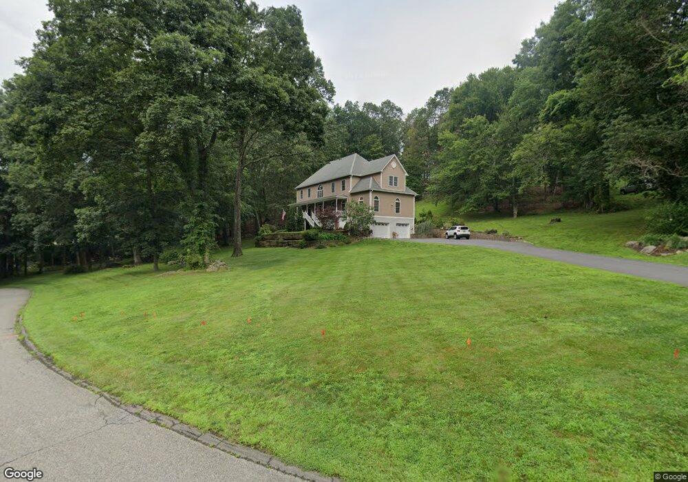
1 Robin Dr Somers, NY 10589
Estimated Value: $1,113,743 - $1,302,000
5
Beds
3
Baths
3,370
Sq Ft
$364/Sq Ft
Est. Value
About This Home
This home is located at 1 Robin Dr, Somers, NY 10589 and is currently estimated at $1,228,186, approximately $364 per square foot. 1 Robin Dr is a home located in Westchester County with nearby schools including Somers Intermediate School, Somers Middle School, and Somers Senior High School.
Ownership History
Date
Name
Owned For
Owner Type
Purchase Details
Closed on
Jan 29, 2001
Sold by
Wamsley James K
Bought by
Madonia Christopher and Madonia Christine
Current Estimated Value
Home Financials for this Owner
Home Financials are based on the most recent Mortgage that was taken out on this home.
Original Mortgage
$210,000
Interest Rate
6.88%
Mortgage Type
Purchase Money Mortgage
Create a Home Valuation Report for This Property
The Home Valuation Report is an in-depth analysis detailing your home's value as well as a comparison with similar homes in the area
Home Values in the Area
Average Home Value in this Area
Purchase History
| Date | Buyer | Sale Price | Title Company |
|---|---|---|---|
| Madonia Christopher | $555,000 | -- |
Source: Public Records
Mortgage History
| Date | Status | Borrower | Loan Amount |
|---|---|---|---|
| Previous Owner | Madonia Christopher | $210,000 |
Source: Public Records
Tax History
| Year | Tax Paid | Tax Assessment Tax Assessment Total Assessment is a certain percentage of the fair market value that is determined by local assessors to be the total taxable value of land and additions on the property. | Land | Improvement |
|---|---|---|---|---|
| 2024 | $23,902 | $100,400 | $15,600 | $84,800 |
| 2023 | $23,091 | $100,400 | $15,600 | $84,800 |
| 2022 | $20,928 | $100,400 | $15,600 | $84,800 |
| 2021 | $20,574 | $100,400 | $15,600 | $84,800 |
| 2020 | $20,093 | $100,400 | $15,600 | $84,800 |
| 2019 | $21,418 | $100,400 | $15,600 | $84,800 |
| 2018 | $19,215 | $100,400 | $15,600 | $84,800 |
| 2017 | $4,485 | $100,400 | $15,600 | $84,800 |
| 2016 | $18,805 | $100,400 | $15,600 | $84,800 |
| 2015 | -- | $100,400 | $15,600 | $84,800 |
| 2014 | -- | $100,400 | $15,600 | $84,800 |
| 2013 | -- | $100,400 | $15,600 | $84,800 |
Source: Public Records
Map
Nearby Homes
- 6 Londonderry Ln
- 489 Heritage Hills Unit B
- 339 Heritage Hills Unit A
- 537 Heritage Hills Unit D
- 13 Hyatt Ln
- 3 Hyatt Ln
- 157 U S 202
- 106 Krystal Dr
- 358 Heritage Hills Unit D
- 348 Heritage Hills Unit A
- 2 Brick Hill Rd
- 656 Heritage Hills Unit C
- 443 Heritage Hills Unit A
- 578 Heritage Hills Unit D
- 769 Heritage Hills Unit C
- 65 Sienna Dr
- 798 Heritage Hills Unit D
- 744 Heritage Hills Unit B
- 366 Heritage Hills Unit D
- 11 Florence Dr
- 3 Robin Dr
- 7 Londonderry Ln
- 5 Robin Dr
- 11 Londonderry Ln
- 3 Arthur Ct
- 5 Londonderry Ln
- 8 Londonderry Ln
- 2 Robin Dr
- 13 Londonderry Ln
- 10 Londonderry Ln
- 7 Robin Dr
- 3 Londonderry Ln
- 15 Londonderry Ln
- 4 Londonderry Ln
- 12 Londonderry Ln
- 4 Arthur Ct
- 17 Londonderry Ln
- 12 Mountain View Dr
- 1 Arthur Ct
- 14 Londonderry Ln
Your Personal Tour Guide
Ask me questions while you tour the home.