Estimated Value: $499,000 - $2,070,893
3
Beds
4
Baths
2,822
Sq Ft
$455/Sq Ft
Est. Value
About This Home
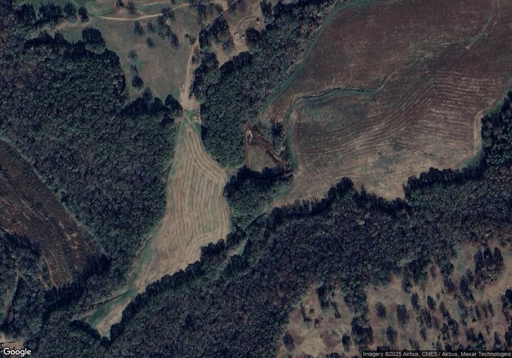
This home is located at 1 Roger B Smith Rd, Canon, GA 30520 and is currently estimated at $1,284,947, approximately $455 per square foot. 1 Roger B Smith Rd is a home with nearby schools including Hart County High School.
Ownership History
Date
Name
Owned For
Owner Type
Purchase Details
Closed on
Mar 2, 2018
Sold by
Smith Roger B
Bought by
Robese Partnership
Current Estimated Value
Purchase Details
Closed on
Dec 11, 2015
Sold by
Robese Partnership
Bought by
Hart County Georgia
Purchase Details
Closed on
Feb 1, 1996
Purchase Details
Closed on
Jan 1, 1995
Purchase Details
Closed on
Apr 1, 1993
Purchase Details
Closed on
Feb 1, 1993
Purchase Details
Closed on
Jun 1, 1992
Purchase Details
Closed on
May 1, 1992
Purchase Details
Closed on
Dec 1, 1982
Create a Home Valuation Report for This Property
The Home Valuation Report is an in-depth analysis detailing your home's value as well as a comparison with similar homes in the area
Purchase History
| Date | Buyer | Sale Price | Title Company |
|---|---|---|---|
| Robese Partnership | -- | -- | |
| Hart County Georgia | $7,500 | -- | |
| -- | $185,000 | -- | |
| -- | $357,500 | -- | |
| -- | $31,000 | -- | |
| -- | $45,000 | -- | |
| -- | $75,000 | -- | |
| -- | $9,500 | -- | |
| -- | $5,000 | -- | |
| -- | -- | -- |
Source: Public Records
Tax History
| Year | Tax Paid | Tax Assessment Tax Assessment Total Assessment is a certain percentage of the fair market value that is determined by local assessors to be the total taxable value of land and additions on the property. | Land | Improvement |
|---|---|---|---|---|
| 2024 | $7,990 | $1,197,196 | $1,068,258 | $128,938 |
| 2023 | $7,851 | $971,879 | $854,873 | $117,006 |
| 2022 | $7,340 | $859,790 | $763,183 | $96,607 |
| 2021 | $7,761 | $845,687 | $763,183 | $82,504 |
| 2020 | $7,868 | $774,109 | $693,872 | $80,237 |
| 2019 | $7,753 | $772,263 | $693,872 | $78,391 |
| 2018 | $7,225 | $738,801 | $650,876 | $87,925 |
| 2017 | $7,085 | $729,695 | $642,624 | $87,071 |
| 2016 | $7,180 | $694,569 | $606,138 | $88,431 |
| 2015 | $6,519 | $791,063 | $703,989 | $87,074 |
| 2014 | $6,473 | $766,394 | $680,984 | $85,410 |
| 2013 | -- | $769,116 | $680,984 | $88,132 |
Source: Public Records
Map
Nearby Homes
- 5041 Airline-Goldmine Rd
- 159 Alexander Ray Rd
- 24 McGee Price Rd
- 342 Phillips Cir
- 173 Hendry Church Rd
- 04 Bethany Bowersville Rd
- 3798 Bethany Bowersville Rd
- 00 Georgia 17
- 6.30 Royston Bypass
- 401 Georgia 17
- 2667 Bethany Bowersville Rd Unit 1
- 2645 Bethany Bowersville Rd Unit 3
- 14 Lyla Ln
- 2629 Bethany Bowersville Rd Unit 4
- 0 Rice Creek Rd Unit 10635669
- 0 Hwy 17 Unit 10630850
- 0 Hwy 17 Unit 10630342
- 23 College Hgts Place
- 340 Floyd St
- 0 Harper Ln Unit 10672727
- 3861 Redwine Church Rd
- 4255 Airline Goldmine Rd
- 4255 Airline Goldmine Rd
- 3190 Redwine Church Rd
- 1123 Hanley Road Spur
- 4195 Airline Goldmine Rd
- 4329 Airline Goldmine Rd
- 4117 Airline Goldmine Rd
- 4043 Airline Goldmine Rd
- 4199 Airline-Goldmine Rd
- 235 Andrew Floyd Rd
- 3125 Redwine Church Rd
- 3924 Airline Goldmine Rd
- 660 Tom Rice Rd
- 3796 Airline Goldmine Rd
- 3037 Redwine Church Rd
- 834 Tom Rice Rd
- 605 Tom Rice Rd
- 1026 Tom Rice Rd
- 1026 Tom Rice Rd
