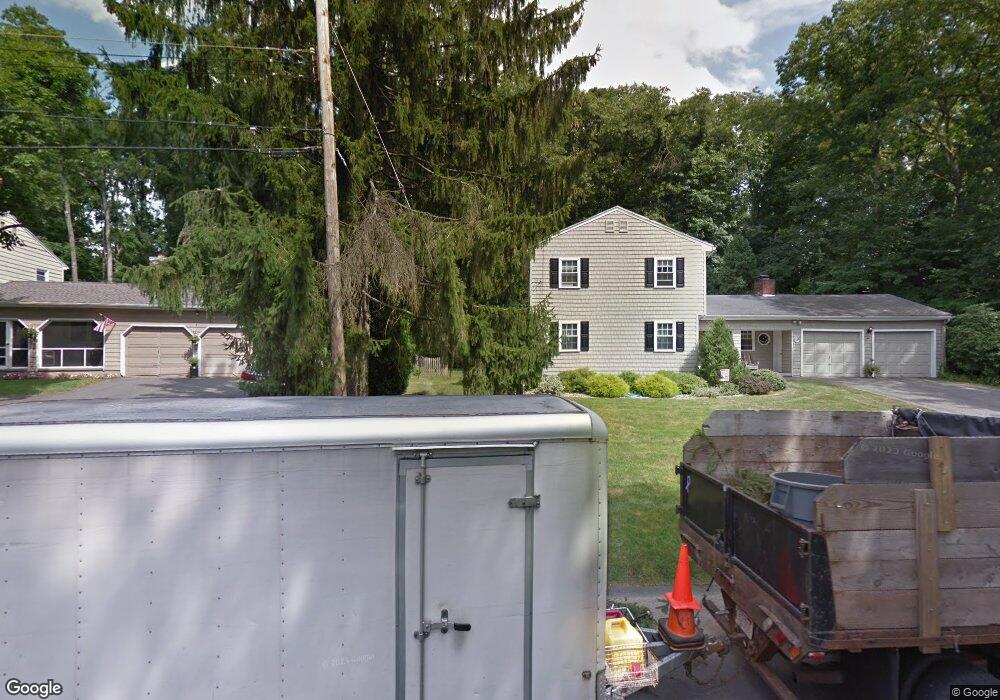
1 Ronald Cir Wilbraham, MA 01095
Estimated Value: $415,960 - $502,000
3
Beds
2
Baths
1,632
Sq Ft
$283/Sq Ft
Est. Value
About This Home
This home is located at 1 Ronald Cir, Wilbraham, MA 01095 and is currently estimated at $462,490, approximately $283 per square foot. 1 Ronald Cir is a home located in Hampden County with nearby schools including Minnechaug Regional High School and Wilbraham & Monson Academy.
Ownership History
Date
Name
Owned For
Owner Type
Purchase Details
Closed on
May 2, 1991
Sold by
Cohen Andrew M and Cohen Therese M
Bought by
Langone Frank and Langone Karen M
Current Estimated Value
Home Financials for this Owner
Home Financials are based on the most recent Mortgage that was taken out on this home.
Original Mortgage
$128,000
Interest Rate
9.55%
Mortgage Type
Purchase Money Mortgage
Purchase Details
Closed on
Mar 30, 1987
Sold by
Rooke Leonard P
Bought by
Cohen Andrew M
Create a Home Valuation Report for This Property
The Home Valuation Report is an in-depth analysis detailing your home's value as well as a comparison with similar homes in the area
Home Values in the Area
Average Home Value in this Area
Purchase History
| Date | Buyer | Sale Price | Title Company |
|---|---|---|---|
| Langone Frank | $160,000 | -- | |
| Cohen Andrew M | $168,000 | -- |
Source: Public Records
Mortgage History
| Date | Status | Borrower | Loan Amount |
|---|---|---|---|
| Open | Cohen Andrew M | $136,000 | |
| Closed | Cohen Andrew M | $130,750 | |
| Closed | Cohen Andrew M | $128,000 | |
| Previous Owner | Cohen Andrew M | $8,000 |
Source: Public Records
Tax History
| Year | Tax Paid | Tax Assessment Tax Assessment Total Assessment is a certain percentage of the fair market value that is determined by local assessors to be the total taxable value of land and additions on the property. | Land | Improvement |
|---|---|---|---|---|
| 2025 | $6,308 | $352,800 | $96,800 | $256,000 |
| 2024 | $6,438 | $348,000 | $96,800 | $251,200 |
| 2023 | $6,034 | $322,000 | $96,800 | $225,200 |
| 2022 | $6,034 | $294,500 | $96,800 | $197,700 |
| 2021 | $5,761 | $250,900 | $104,100 | $146,800 |
| 2020 | $5,615 | $250,900 | $104,100 | $146,800 |
| 2019 | $5,472 | $251,000 | $104,100 | $146,900 |
| 2018 | $5,483 | $242,200 | $104,100 | $138,100 |
| 2017 | $5,328 | $242,200 | $104,100 | $138,100 |
| 2016 | $5,184 | $240,000 | $115,700 | $124,300 |
| 2015 | $5,011 | $240,000 | $115,700 | $124,300 |
Source: Public Records
Map
Nearby Homes
- 230V Burleigh Rd
- 24 Mcintosh Dr
- 6 Katie St
- 85 Baldwin Dr
- 107 Baldwin Dr
- 325 Allen St
- 46 Holland Dr
- 140 Slumber Ln
- 5 Edgewood Rd
- 0 Mountain Rd Unit 73267162
- 0 Mountain Rd Unit 72942534
- 16 Deerfoot Dr
- 6 Hilltop Park
- 25 Angelica Dr
- 25 Winding Brook Ln
- 8 Patriot Ridge Ln
- 1070 Glendale Rd
- 6 Brooklawn Rd
- 301 Tinkham Rd
- 55 Allen St
Your Personal Tour Guide
Ask me questions while you tour the home.