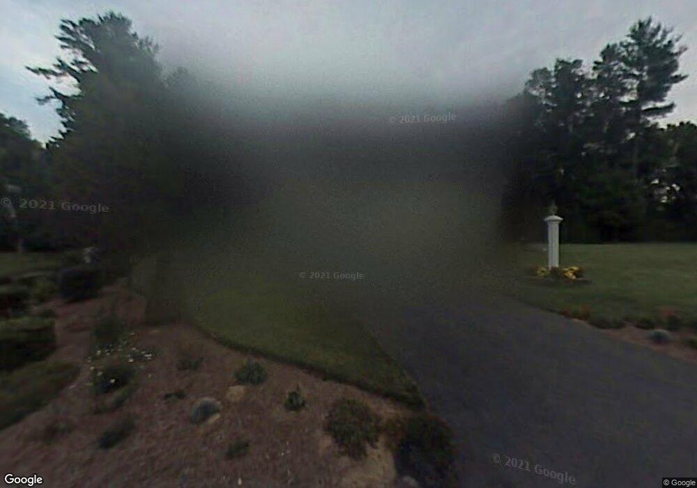
1 Rooks Way Westford, MA 01886
Estimated Value: $941,989 - $1,122,000
4
Beds
3
Baths
2,308
Sq Ft
$439/Sq Ft
Est. Value
About This Home
This home is located at 1 Rooks Way, Westford, MA 01886 and is currently estimated at $1,012,247, approximately $438 per square foot. 1 Rooks Way is a home located in Middlesex County with nearby schools including Col John Robinson, John A. Crisafulli Elementary School, and Blanchard Middle School.
Create a Home Valuation Report for This Property
The Home Valuation Report is an in-depth analysis detailing your home's value as well as a comparison with similar homes in the area
Home Values in the Area
Average Home Value in this Area
Tax History Compared to Growth
Tax History
| Year | Tax Paid | Tax Assessment Tax Assessment Total Assessment is a certain percentage of the fair market value that is determined by local assessors to be the total taxable value of land and additions on the property. | Land | Improvement |
|---|---|---|---|---|
| 2025 | $11,327 | $822,600 | $350,200 | $472,400 |
| 2024 | $11,327 | $822,600 | $350,200 | $472,400 |
| 2023 | $11,089 | $751,300 | $333,800 | $417,500 |
| 2022 | $10,999 | $682,300 | $276,100 | $406,200 |
| 2021 | $10,430 | $626,800 | $276,100 | $350,700 |
| 2020 | $6,685 | $629,200 | $276,100 | $353,100 |
| 2019 | $9,701 | $585,800 | $276,100 | $309,700 |
| 2018 | $5,933 | $585,800 | $276,100 | $309,700 |
| 2017 | $5,558 | $564,400 | $276,100 | $288,300 |
| 2016 | $9,024 | $553,600 | $263,700 | $289,900 |
| 2015 | $8,862 | $545,700 | $255,000 | $290,700 |
| 2014 | $8,074 | $486,400 | $244,100 | $242,300 |
Source: Public Records
Map
Nearby Homes
- 66 Patten Rd
- 16 Abbot St
- 8 Sandy Beach Rd
- 12 Patten Rd
- 5 Colonel Rolls Dr
- 66 N Main St Unit 66
- 64 N Main St Unit 64
- 3 Hillside Ave
- 19-21 Broadway St
- 28 Graniteville Rd
- 34 West St
- 11 River St
- 7 Mill Park Place
- 1 Woodridge Ln
- 12 Brookfield Dr Unit A
- 1 Thistle Ln
- 1 Courtney Ln
- 92 Jimney Dr
- 222 Forge Village Rd
- 125 Concord Rd