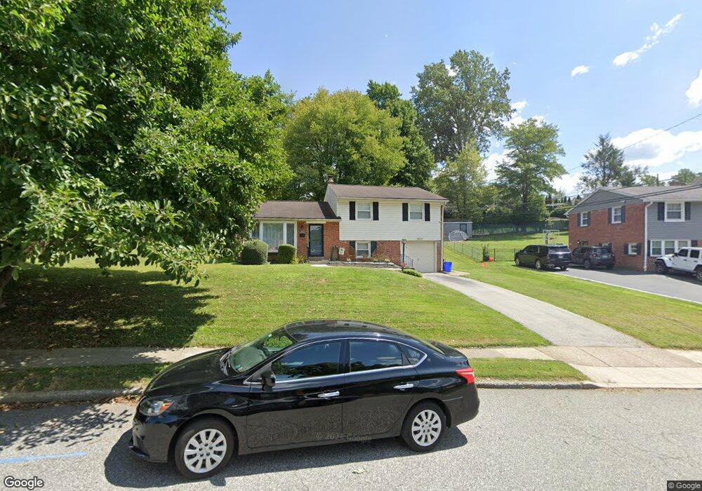
1 Rose Tree Dr Broomall, PA 19008
Estimated Value: $499,226 - $541,000
3
Beds
2
Baths
1,570
Sq Ft
$329/Sq Ft
Est. Value
About This Home
This home is located at 1 Rose Tree Dr, Broomall, PA 19008 and is currently estimated at $516,807, approximately $329 per square foot. 1 Rose Tree Dr is a home located in Delaware County with nearby schools including Russell Elementary School, Paxon Hollow Middle School, and Marple Newtown Senior High School.
Ownership History
Date
Name
Owned For
Owner Type
Purchase Details
Closed on
Jun 18, 2010
Sold by
Lesse Martin J and Lesse Frances C
Bought by
Esposito Joseph M and Esposito Shannon T
Current Estimated Value
Home Financials for this Owner
Home Financials are based on the most recent Mortgage that was taken out on this home.
Original Mortgage
$266,000
Outstanding Balance
$176,957
Interest Rate
4.82%
Mortgage Type
New Conventional
Estimated Equity
$339,850
Create a Home Valuation Report for This Property
The Home Valuation Report is an in-depth analysis detailing your home's value as well as a comparison with similar homes in the area
Home Values in the Area
Average Home Value in this Area
Purchase History
| Date | Buyer | Sale Price | Title Company |
|---|---|---|---|
| Esposito Joseph M | $285,000 | Stewart Title Insurance Co |
Source: Public Records
Mortgage History
| Date | Status | Borrower | Loan Amount |
|---|---|---|---|
| Open | Esposito Joseph M | $266,000 |
Source: Public Records
Tax History Compared to Growth
Tax History
| Year | Tax Paid | Tax Assessment Tax Assessment Total Assessment is a certain percentage of the fair market value that is determined by local assessors to be the total taxable value of land and additions on the property. | Land | Improvement |
|---|---|---|---|---|
| 2025 | $4,922 | $284,800 | $117,400 | $167,400 |
| 2024 | $4,922 | $284,800 | $117,400 | $167,400 |
| 2023 | $4,766 | $284,800 | $117,400 | $167,400 |
| 2022 | $4,675 | $284,800 | $117,400 | $167,400 |
| 2021 | $7,056 | $284,800 | $117,400 | $167,400 |
| 2020 | $4,454 | $154,770 | $59,930 | $94,840 |
| 2019 | $4,400 | $154,770 | $59,930 | $94,840 |
| 2018 | $4,354 | $154,770 | $0 | $0 |
| 2017 | $4,357 | $154,770 | $0 | $0 |
| 2016 | $849 | $154,770 | $0 | $0 |
| 2015 | $849 | $154,770 | $0 | $0 |
| 2014 | $849 | $154,770 | $0 | $0 |
Source: Public Records
Map
Nearby Homes
- 315 Candlewood Rd
- 2606 Springfield Rd
- 209 1st Ave
- 202 Rolling Rd
- 132 S Sproul Rd
- 126 1st Ave
- 0 Cedar Grove Rd Unit PADE2098754
- 2612 Harding Ave
- 2613 Highland Ave
- 2025 S Sproul Rd
- 106 2nd Ave
- 2613 Caranel Rd
- 50 Schoolhouse Ln
- 294 Lovell Ave
- 404 Langford Rd
- 82 1st Ave
- 2789 Highland Ave
- 88 4th Ave
- 209 Beechtree Dr
- 510 Concord Rd
- 3 Rose Tree Dr
- 327 Candlewood Rd
- 325 Candlewood Rd
- 324 Lewis Rd
- 326 Lewis Rd
- 2 Rose Tree Dr
- 5 Rose Tree Dr
- 322 Lewis Rd
- 613 Rose Hill Rd
- 320 Lewis Rd
- 4 Rose Tree Dr
- 611 Rose Hill Rd
- 331 Candlewood Rd
- 7 Rose Tree Dr
- 609 Rose Hill Rd
- 326 Candlewood Rd
- 324 Candlewood Rd
- 6 Rose Tree Dr
- 318 Lewis Rd
- 321 Candlewood Rd