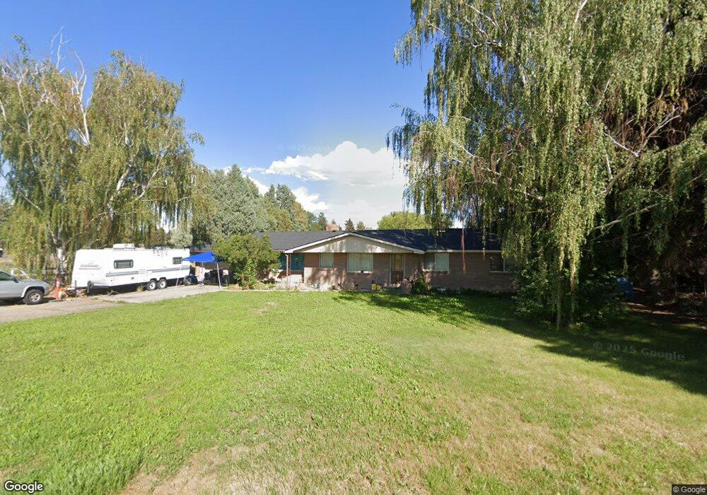
1 S 615 W Blackfoot, ID 83221
Estimated Value: $351,000 - $417,000
3
Beds
2
Baths
1,478
Sq Ft
$261/Sq Ft
Est. Value
About This Home
This home is located at 1 S 615 W, Blackfoot, ID 83221 and is currently estimated at $385,256, approximately $260 per square foot. 1 S 615 W is a home with nearby schools including Riverside Elementary School, Moreland Elementary School, and Rockford Elementary School.
Ownership History
Date
Name
Owned For
Owner Type
Purchase Details
Closed on
Jun 26, 2020
Sold by
Mason Amber B and Mason James
Bought by
Mason James
Current Estimated Value
Home Financials for this Owner
Home Financials are based on the most recent Mortgage that was taken out on this home.
Original Mortgage
$101,500
Outstanding Balance
$90,170
Interest Rate
3.2%
Mortgage Type
New Conventional
Estimated Equity
$295,086
Purchase Details
Closed on
Jul 21, 2006
Sold by
Dent Carol
Bought by
Dent Carol and Mason James A
Purchase Details
Closed on
Jun 29, 2005
Sold by
Sulzle Elna R
Bought by
Dent Gerald Gardie
Home Financials for this Owner
Home Financials are based on the most recent Mortgage that was taken out on this home.
Original Mortgage
$94,400
Interest Rate
6.37%
Mortgage Type
Adjustable Rate Mortgage/ARM
Create a Home Valuation Report for This Property
The Home Valuation Report is an in-depth analysis detailing your home's value as well as a comparison with similar homes in the area
Home Values in the Area
Average Home Value in this Area
Purchase History
| Date | Buyer | Sale Price | Title Company |
|---|---|---|---|
| Mason James | -- | First American Title Blackfo | |
| Dent Carol | -- | -- | |
| Dent Gerald Gardie | -- | First American Title Company |
Source: Public Records
Mortgage History
| Date | Status | Borrower | Loan Amount |
|---|---|---|---|
| Open | Mason James | $101,500 | |
| Previous Owner | Dent Gerald Gardie | $94,400 |
Source: Public Records
Tax History Compared to Growth
Tax History
| Year | Tax Paid | Tax Assessment Tax Assessment Total Assessment is a certain percentage of the fair market value that is determined by local assessors to be the total taxable value of land and additions on the property. | Land | Improvement |
|---|---|---|---|---|
| 2025 | $828 | $296,652 | $84,800 | $211,852 |
| 2024 | $828 | $275,732 | $63,880 | $211,852 |
| 2023 | $976 | $275,732 | $63,880 | $211,852 |
| 2022 | $1,437 | $195,720 | $63,880 | $131,840 |
| 2021 | $1,095 | $170,887 | $55,880 | $115,007 |
| 2020 | $981 | $141,245 | $0 | $0 |
| 2019 | $1,073 | $141,245 | $0 | $0 |
| 2018 | $986 | $118,929 | $36,440 | $82,489 |
| 2017 | $943 | $111,189 | $28,700 | $82,489 |
| 2016 | $938 | $111,189 | $0 | $0 |
| 2015 | $848 | $111,189 | $0 | $0 |
| 2014 | $848 | $111,189 | $28,700 | $82,489 |
Source: Public Records
Map
Nearby Homes
- 420 Ward Dr L9b1
- 5 S 615 W
- 612 W Highway 39
- 614 W Highway 39
- 9 S 615 W
- 619 W Highway 39
- 6 S 615 W
- 618 W Highway 39
- Block 1 Tbd Unit Lot12
- Block 1 Tbd Unit Lot10
- Block 1 Tbd Unit Lot11
- Block 1 Tbd Unit Lot 8
- Block 1 Tbd Unit Lot 9
- Block 1 Tbd Unit Lot 7
- Block 1 Tbd Unit Lot 6
- Block 1 Tbd Unit Lot 5
- Block 1 Tbd Unit Lot 3
- Block 1 Tbd Unit Lot 4
- Block 1 Tbd Unit Lot 2
- Block 1 Tbd Unit Lot 1