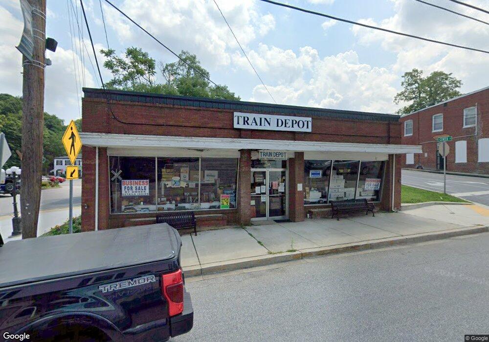
1 S Main St Mount Airy, MD 21771
--
Bed
--
Bath
1,512
Sq Ft
2.13
Acres
About This Home
This home is located at 1 S Main St, Mount Airy, MD 21771. 1 S Main St is a home located in Carroll County with nearby schools including Parr's Ridge Elementary School, Mount Airy Elementary School, and Mount Airy Middle School.
Ownership History
Date
Name
Owned For
Owner Type
Purchase Details
Closed on
Jul 18, 2013
Sold by
Collector Of Taxes For The State Of Mary
Bought by
Paradise Point Llc
Purchase Details
Closed on
Nov 10, 2010
Sold by
Marlaine Enterprises Inc
Bought by
Rail Road Property Llc
Home Financials for this Owner
Home Financials are based on the most recent Mortgage that was taken out on this home.
Original Mortgage
$33,906
Interest Rate
5.05%
Mortgage Type
Commercial
Purchase Details
Closed on
Jun 29, 2010
Sold by
Marlaine Enterprises Inc
Bought by
Marlaine Enterprises Inc
Purchase Details
Closed on
Sep 19, 2002
Sold by
Marlaine Enterprises Inc
Bought by
Marlaine Enterprises Inc
Create a Home Valuation Report for This Property
The Home Valuation Report is an in-depth analysis detailing your home's value as well as a comparison with similar homes in the area
Home Values in the Area
Average Home Value in this Area
Purchase History
| Date | Buyer | Sale Price | Title Company |
|---|---|---|---|
| Paradise Point Llc | $500,000 | None Available | |
| Rail Road Property Llc | -- | -- | |
| Marlaine Enterprises Inc | -- | -- | |
| Marlaine Enterprises Inc | -- | -- |
Source: Public Records
Mortgage History
| Date | Status | Borrower | Loan Amount |
|---|---|---|---|
| Previous Owner | Rail Road Property Llc | $33,906 |
Source: Public Records
Tax History Compared to Growth
Tax History
| Year | Tax Paid | Tax Assessment Tax Assessment Total Assessment is a certain percentage of the fair market value that is determined by local assessors to be the total taxable value of land and additions on the property. | Land | Improvement |
|---|---|---|---|---|
| 2025 | $5,843 | $464,233 | $0 | $0 |
| 2024 | $5,843 | $445,300 | $396,900 | $48,400 |
| 2023 | $5,772 | $445,300 | $396,900 | $48,400 |
| 2022 | $5,032 | $445,300 | $396,900 | $48,400 |
| 2021 | $11,775 | $454,200 | $396,900 | $57,300 |
| 2020 | $5,887 | $454,200 | $396,900 | $57,300 |
| 2019 | $5,887 | $454,200 | $396,900 | $57,300 |
| 2018 | $6,000 | $467,800 | $413,200 | $54,600 |
| 2017 | $5,770 | $449,800 | $0 | $0 |
| 2016 | -- | $771,767 | $0 | $0 |
| 2015 | -- | $766,500 | $0 | $0 |
| 2014 | -- | $766,500 | $0 | $0 |
Source: Public Records
Map
Nearby Homes
- 14 Park Ave
- .58+- ACRES Center St
- 211 Carroll Ave
- 203 Montgomery Ave
- 202 Troon Cir
- 704 Meadow Field Ct
- 707 Horpel Dr
- 208 East Rd
- 1008 N Main St
- 1402 Woodenbridge Ln
- 1003 Meadowgreen Dr
- 1201 Whitetail Ct
- 1702 Fieldbrook Ln
- 1718 Trestle St
- 0 Watersville Rd Unit MDCR2019316
- 7884 Bennett Branch Rd
- 807 Kingsbridge Terrace
- 1308 Crossbow Rd
- 909 Kingsbridge Terrace
- 1407 Marian Way