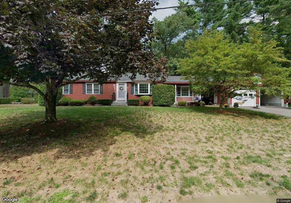
1 Sagitarius Ln Townsend, MA 01469
Estimated Value: $438,000 - $541,000
2
Beds
1
Bath
1,872
Sq Ft
$256/Sq Ft
Est. Value
About This Home
This home is located at 1 Sagitarius Ln, Townsend, MA 01469 and is currently estimated at $479,480, approximately $256 per square foot. 1 Sagitarius Ln is a home located in Middlesex County with nearby schools including North Middlesex Regional High School.
Ownership History
Date
Name
Owned For
Owner Type
Purchase Details
Closed on
Dec 10, 2024
Sold by
Szylvian Edmund C and Szylvian Debra A
Bought by
Livingston Sarah G
Current Estimated Value
Purchase Details
Closed on
Jul 19, 2012
Sold by
Szylvian Debra A and Szylvian Edmund C
Bought by
Szylvian Edmund C and Szylvian Debra A
Purchase Details
Closed on
Feb 6, 1981
Bought by
Szylvian Edmund C and Szylvian Debra A
Create a Home Valuation Report for This Property
The Home Valuation Report is an in-depth analysis detailing your home's value as well as a comparison with similar homes in the area
Home Values in the Area
Average Home Value in this Area
Purchase History
| Date | Buyer | Sale Price | Title Company |
|---|---|---|---|
| Livingston Sarah G | -- | None Available | |
| Livingston Sarah G | -- | None Available | |
| Livingston Sarah G | -- | None Available | |
| Szylvian Edmund C | -- | -- | |
| Szylvian Edmund C | $50,400 | -- | |
| Szylvian Edmund C | -- | -- |
Source: Public Records
Mortgage History
| Date | Status | Borrower | Loan Amount |
|---|---|---|---|
| Previous Owner | Szylvian Edmund C | $50,000 |
Source: Public Records
Tax History Compared to Growth
Tax History
| Year | Tax Paid | Tax Assessment Tax Assessment Total Assessment is a certain percentage of the fair market value that is determined by local assessors to be the total taxable value of land and additions on the property. | Land | Improvement |
|---|---|---|---|---|
| 2025 | $5,584 | $384,600 | $90,700 | $293,900 |
| 2024 | $5,476 | $380,000 | $90,700 | $289,300 |
| 2023 | $5,022 | $329,100 | $78,300 | $250,800 |
| 2022 | $5,198 | $295,200 | $71,700 | $223,500 |
| 2021 | $5,354 | $292,100 | $70,900 | $221,200 |
| 2020 | $5,206 | $266,700 | $64,300 | $202,400 |
| 2019 | $5,124 | $265,100 | $64,300 | $200,800 |
| 2018 | $4,739 | $233,900 | $57,700 | $176,200 |
| 2017 | $4,363 | $221,800 | $60,600 | $161,200 |
| 2016 | $4,045 | $204,300 | $60,600 | $143,700 |
| 2015 | $4,090 | $214,000 | $67,200 | $146,800 |
| 2014 | $3,814 | $194,900 | $63,100 | $131,800 |
Source: Public Records
Map
Nearby Homes