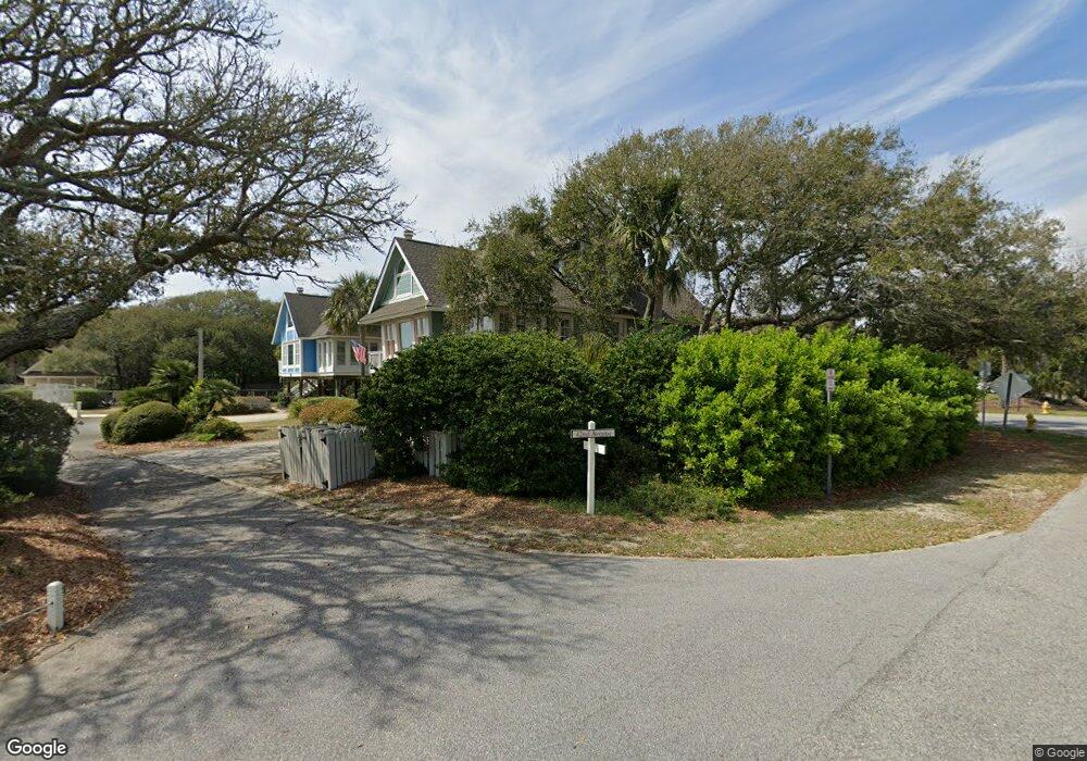
1 Sea Shell Ln Isle of Palms, SC 29451
Estimated Value: $1,821,095 - $2,322,000
4
Beds
4
Baths
2,022
Sq Ft
$1,012/Sq Ft
Est. Value
About This Home
This home is located at 1 Sea Shell Ln, Isle of Palms, SC 29451 and is currently estimated at $2,045,774, approximately $1,011 per square foot. 1 Sea Shell Ln is a home located in Charleston County with nearby schools including Sullivans Island Elementary School, Moultrie Middle School, and Wando High School.
Ownership History
Date
Name
Owned For
Owner Type
Purchase Details
Closed on
Oct 28, 2014
Sold by
Burns Raymond and Burns Susan
Bought by
Sea Oats Iop Llc
Current Estimated Value
Purchase Details
Closed on
Sep 28, 2009
Sold by
Reed Joseph W and Reed Karen C
Bought by
Burns Raymond and Burns Susan
Home Financials for this Owner
Home Financials are based on the most recent Mortgage that was taken out on this home.
Original Mortgage
$616,000
Interest Rate
4.5%
Mortgage Type
New Conventional
Purchase Details
Closed on
Jun 25, 2007
Sold by
The Athletic House Inc
Bought by
Reed Joseph W and Reed Karen C
Create a Home Valuation Report for This Property
The Home Valuation Report is an in-depth analysis detailing your home's value as well as a comparison with similar homes in the area
Home Values in the Area
Average Home Value in this Area
Purchase History
| Date | Buyer | Sale Price | Title Company |
|---|---|---|---|
| Sea Oats Iop Llc | -- | -- | |
| Burns Raymond | $880,000 | -- | |
| Reed Joseph W | $600,000 | Attorney |
Source: Public Records
Mortgage History
| Date | Status | Borrower | Loan Amount |
|---|---|---|---|
| Previous Owner | Burns Raymond | $616,000 |
Source: Public Records
Tax History Compared to Growth
Tax History
| Year | Tax Paid | Tax Assessment Tax Assessment Total Assessment is a certain percentage of the fair market value that is determined by local assessors to be the total taxable value of land and additions on the property. | Land | Improvement |
|---|---|---|---|---|
| 2024 | $10,056 | $38,990 | $0 | $0 |
| 2023 | $9,103 | $38,990 | $0 | $0 |
| 2022 | $8,557 | $38,990 | $0 | $0 |
| 2021 | $8,460 | $38,990 | $0 | $0 |
| 2020 | $8,346 | $38,990 | $0 | $0 |
| 2019 | $7,658 | $33,900 | $0 | $0 |
| 2017 | $14,625 | $33,900 | $0 | $0 |
| 2016 | $7,022 | $33,900 | $0 | $0 |
| 2015 | $6,684 | $33,900 | $0 | $0 |
| 2014 | $9,896 | $0 | $0 | $0 |
| 2011 | -- | $0 | $0 | $0 |
Source: Public Records
Map
Nearby Homes
- 4005 Cameron Blvd
- 27 42nd Ave
- 1 44th Ave
- 32 41st Ave
- 5 Morgans Cove Ct
- 3802 Cameron Blvd
- 6 Frank Sottile Ln
- 3 38th Ave
- 40 41st Ave Unit E 14
- 40 41st Ave Unit D18
- 40 41st Ave Unit D-23 D-24
- 22 Morgans Cove Dr
- 257 Forest Trail
- 401 Yacht Harbor Ct
- 304 Yacht Harbor Ct Unit Share A
- 409 Yacht Harbor Ct
- 502 Yacht Harbor Ct
- 105 Forest Trail
- 23 Edgewater Aly
- 0 Morgan Place Dr