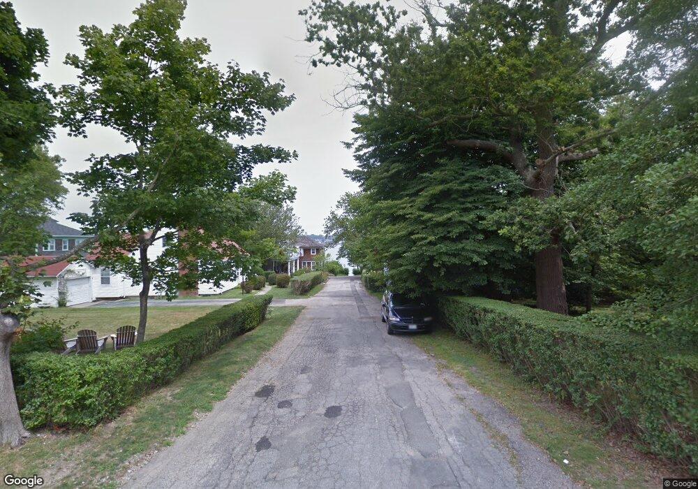
1 Seaview Ave Newport, RI 02840
Bellevue Avenue and Estates NeighborhoodEstimated Value: $1,003,000 - $1,221,424
2
Beds
2
Baths
1,124
Sq Ft
$979/Sq Ft
Est. Value
About This Home
This home is located at 1 Seaview Ave, Newport, RI 02840 and is currently estimated at $1,099,856, approximately $978 per square foot. 1 Seaview Ave is a home located in Newport County with nearby schools including Rogers High School, St Michael's Country Day School, and St George's School.
Ownership History
Date
Name
Owned For
Owner Type
Purchase Details
Closed on
Sep 10, 1999
Sold by
Friedman Friedman S and Friedman Rivka
Bought by
Scharfman Daniel I
Current Estimated Value
Purchase Details
Closed on
Feb 4, 1997
Sold by
Friedman S Marvin
Bought by
Reynolds Russell J and Reynolds Kimberly
Create a Home Valuation Report for This Property
The Home Valuation Report is an in-depth analysis detailing your home's value as well as a comparison with similar homes in the area
Home Values in the Area
Average Home Value in this Area
Purchase History
| Date | Buyer | Sale Price | Title Company |
|---|---|---|---|
| Scharfman Daniel I | $199,000 | -- | |
| Reynolds Russell J | $112,000 | -- |
Source: Public Records
Mortgage History
| Date | Status | Borrower | Loan Amount |
|---|---|---|---|
| Open | Reynolds Russell J | $130,000 | |
| Closed | Reynolds Russell J | $75,000 | |
| Closed | Reynolds Russell J | $150,000 |
Source: Public Records
Tax History Compared to Growth
Tax History
| Year | Tax Paid | Tax Assessment Tax Assessment Total Assessment is a certain percentage of the fair market value that is determined by local assessors to be the total taxable value of land and additions on the property. | Land | Improvement |
|---|---|---|---|---|
| 2025 | $4,785 | $666,500 | $0 | $666,500 |
| 2024 | $4,646 | $666,500 | $0 | $666,500 |
| 2023 | $3,836 | $386,700 | $0 | $386,700 |
| 2022 | $3,716 | $386,700 | $0 | $386,700 |
| 2021 | $3,608 | $386,700 | $0 | $386,700 |
| 2020 | $3,967 | $385,900 | $0 | $385,900 |
| 2019 | $3,967 | $385,900 | $0 | $385,900 |
| 2018 | $3,855 | $385,900 | $0 | $385,900 |
| 2017 | $3,969 | $354,100 | $0 | $354,100 |
| 2016 | $3,870 | $354,100 | $0 | $354,100 |
| 2015 | $3,778 | $354,100 | $0 | $354,100 |
| 2014 | $4,372 | $362,500 | $0 | $362,500 |
Source: Public Records
Map
Nearby Homes
- 5 Lowndes St
- 50 E Bowery St
- 10 Ocean Lawn Ln
- 21 Slocum St
- 19 Slocum St
- 26 Freebody St
- 20 Berkeley Ave Unit 2
- 8 Sylvan St
- 24 Old Beach Rd
- 364 Bellevue Ave Unit A1
- 364 Bellevue Ave Unit D7
- 8 Cottage St Unit 2
- 33 Kay St
- 5 Pell St
- 8 Champlin St
- 60 Prospect Hill St
- 1 Pell St
- 75 Pelham St Unit B
- 128 Eustis Ave
- 30 S Baptist St
- 1 Seaview Ave Unit 4
- 1 Seaview Ave Unit 5
- 1 Seaview Ave Unit 3
- 1 Seaview Ave Unit 2
- 1 Seaview Ave Unit ONE
- 29 Cliff Ave
- 28 Dresser St
- 20 Cliff Ave
- 26 Cliff Ave Unit 2
- 26 Cliff Ave Unit 3
- 26 Cliff Ave Unit 1
- 26 Cliff Ave
- 18 Cliff Ave
- 30 Cliff Ave
- 0 Cliff Ave
- 15 Cliff Ave
- 22 Dresser St
- 73 Merton Rd
- 8 Seaview Ave
- 4 Barclay Square