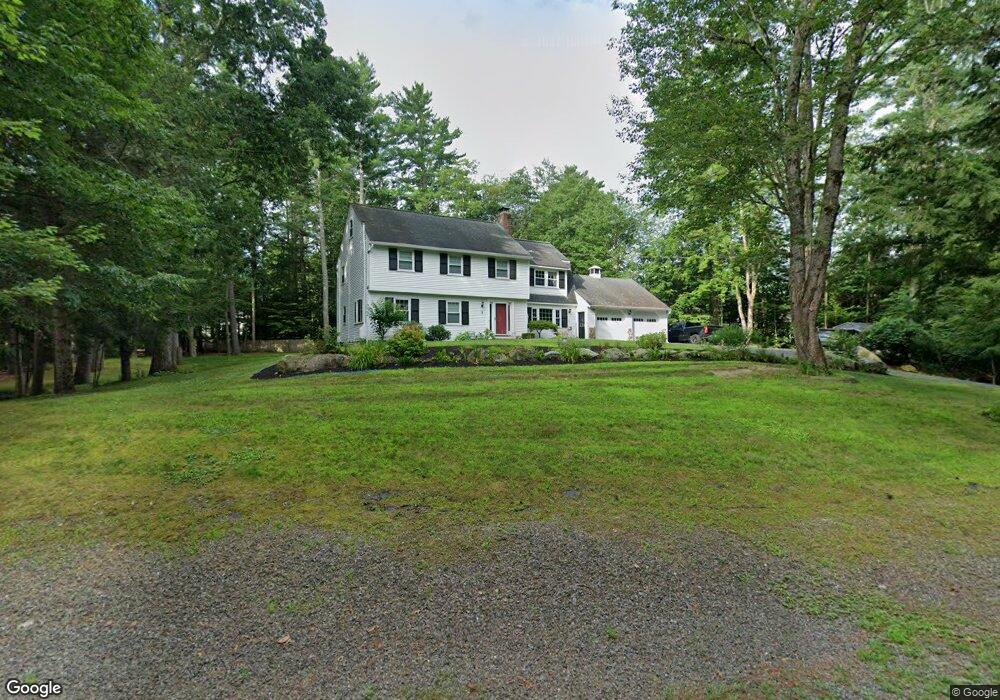
1 Shadow Ln Amherst, NH 03031
Estimated Value: $683,792 - $788,000
4
Beds
3
Baths
2,953
Sq Ft
$245/Sq Ft
Est. Value
About This Home
This home is located at 1 Shadow Ln, Amherst, NH 03031 and is currently estimated at $722,948, approximately $244 per square foot. 1 Shadow Ln is a home located in Hillsborough County with nearby schools including Wilkins Elementary School, Amherst Middle School, and Souhegan Cooperative High School.
Ownership History
Date
Name
Owned For
Owner Type
Purchase Details
Closed on
Apr 11, 2013
Sold by
Whitehouse Ryan A and Whithouse Vanessa N
Bought by
Whitehouse Ryan A and Whitehouse Vanessa N
Current Estimated Value
Home Financials for this Owner
Home Financials are based on the most recent Mortgage that was taken out on this home.
Original Mortgage
$242,200
Outstanding Balance
$168,627
Interest Rate
3.55%
Mortgage Type
Purchase Money Mortgage
Estimated Equity
$554,321
Purchase Details
Closed on
May 23, 2012
Sold by
Lefebvre Donald and Lefebvre Linda
Bought by
Whitehouse Ryan A and Whitehouse Vanessa M
Purchase Details
Closed on
Jan 9, 2003
Sold by
Valaitis George J
Bought by
Lefebvre Donald and Lefebvre Linda
Purchase Details
Closed on
Nov 1, 2000
Sold by
Goulden Michael E
Bought by
Valaitis George J
Create a Home Valuation Report for This Property
The Home Valuation Report is an in-depth analysis detailing your home's value as well as a comparison with similar homes in the area
Home Values in the Area
Average Home Value in this Area
Purchase History
| Date | Buyer | Sale Price | Title Company |
|---|---|---|---|
| Whitehouse Ryan A | -- | -- | |
| Whitehouse Ryan A | -- | -- | |
| Whitehouse Ryan A | -- | -- | |
| Whitehouse Ryan A | $279,900 | -- | |
| Whitehouse Ryan A | $279,900 | -- | |
| Lefebvre Donald | $299,000 | -- | |
| Lefebvre Donald | $299,000 | -- | |
| Valaitis George J | $245,000 | -- | |
| Valaitis George J | $245,000 | -- |
Source: Public Records
Mortgage History
| Date | Status | Borrower | Loan Amount |
|---|---|---|---|
| Open | Whitehouse Ryan A | $242,200 | |
| Closed | Valaitis George J | $242,200 |
Source: Public Records
Tax History
| Year | Tax Paid | Tax Assessment Tax Assessment Total Assessment is a certain percentage of the fair market value that is determined by local assessors to be the total taxable value of land and additions on the property. | Land | Improvement |
|---|---|---|---|---|
| 2025 | $10,985 | $458,100 | $143,800 | $314,300 |
| 2024 | $10,504 | $458,100 | $143,800 | $314,300 |
| 2023 | $10,023 | $458,100 | $143,800 | $314,300 |
| 2022 | $9,680 | $458,100 | $143,800 | $314,300 |
| 2021 | $9,762 | $458,100 | $143,800 | $314,300 |
| 2020 | $9,552 | $335,400 | $115,000 | $220,400 |
| 2019 | $9,042 | $335,400 | $115,000 | $220,400 |
| 2018 | $9,133 | $335,400 | $115,000 | $220,400 |
| 2017 | $8,724 | $335,400 | $115,000 | $220,400 |
| 2016 | $8,419 | $335,400 | $115,000 | $220,400 |
| 2015 | $8,264 | $312,100 | $118,400 | $193,700 |
| 2014 | $8,321 | $312,100 | $118,400 | $193,700 |
| 2013 | $8,255 | $312,100 | $118,400 | $193,700 |
Source: Public Records
Map
Nearby Homes
- 2A Renee Dr
- 3 Renee Dr
- 1B Debbie Ln
- 166 Amherst St
- 5 Old Manchester Rd
- 135 Amherst St Unit 28
- 135 Amherst St Unit 26
- 100 MacK Hill Rd
- 103 MacK Hill Rd
- 7-101 MacK Hill Rd
- 19 Baboosic Lake Rd
- 22 Atherton Ln
- 11 Pine Top Rd
- 23 Old Manchester Rd
- 5 Whiting Farm Dr
- 0 Orchard View Dr Unit 8
- 6 Odell Dr
- 19 Highland Dr
- 7 Village Woods Dr
- 19 Old Milford Rd
Your Personal Tour Guide
Ask me questions while you tour the home.