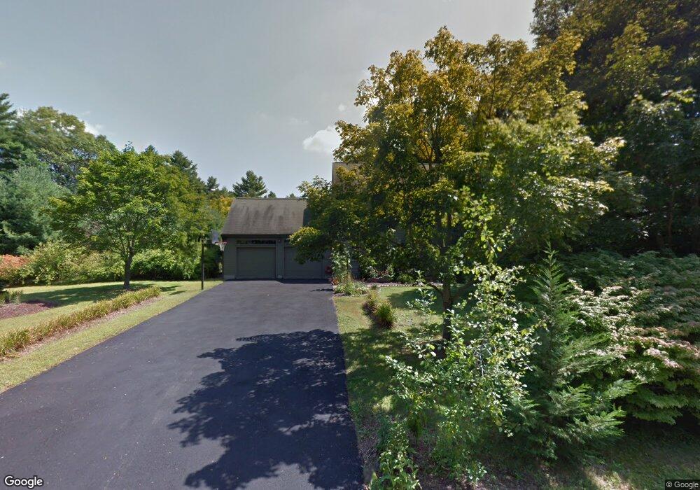
1 Shady Way Norfolk, MA 02056
Estimated Value: $823,000 - $931,000
4
Beds
3
Baths
2,128
Sq Ft
$417/Sq Ft
Est. Value
About This Home
This home is located at 1 Shady Way, Norfolk, MA 02056 and is currently estimated at $887,196, approximately $416 per square foot. 1 Shady Way is a home located in Norfolk County with nearby schools including H. Olive Day School and Freeman-Kennedy School.
Ownership History
Date
Name
Owned For
Owner Type
Purchase Details
Closed on
Jan 12, 2016
Sold by
Beck Brian W and Beck Lori A
Bought by
Beck Ft and Beck Brian W
Current Estimated Value
Purchase Details
Closed on
Dec 30, 2008
Sold by
Domineau Susanne B and Domineau William W
Bought by
Beck Brian and Beck Lori
Home Financials for this Owner
Home Financials are based on the most recent Mortgage that was taken out on this home.
Original Mortgage
$403,920
Interest Rate
6.17%
Mortgage Type
Purchase Money Mortgage
Purchase Details
Closed on
Sep 18, 1992
Sold by
Ofena Corp
Bought by
Domineau William W and Domineau Susanne B
Create a Home Valuation Report for This Property
The Home Valuation Report is an in-depth analysis detailing your home's value as well as a comparison with similar homes in the area
Home Values in the Area
Average Home Value in this Area
Purchase History
| Date | Buyer | Sale Price | Title Company |
|---|---|---|---|
| Beck Ft | -- | -- | |
| Beck Brian | $504,900 | -- | |
| Domineau William W | $222,082 | -- |
Source: Public Records
Mortgage History
| Date | Status | Borrower | Loan Amount |
|---|---|---|---|
| Previous Owner | Domineau William W | $400,000 | |
| Previous Owner | Beck Brian | $403,920 | |
| Previous Owner | Domineau William W | $292,000 | |
| Previous Owner | Domineau William W | $212,000 |
Source: Public Records
Tax History Compared to Growth
Tax History
| Year | Tax Paid | Tax Assessment Tax Assessment Total Assessment is a certain percentage of the fair market value that is determined by local assessors to be the total taxable value of land and additions on the property. | Land | Improvement |
|---|---|---|---|---|
| 2025 | $11,513 | $720,900 | $248,600 | $472,300 |
| 2024 | $11,058 | $710,200 | $248,600 | $461,600 |
| 2023 | $10,514 | $640,700 | $248,600 | $392,100 |
| 2022 | $9,874 | $542,500 | $233,200 | $309,300 |
| 2021 | $9,538 | $530,200 | $226,600 | $303,600 |
| 2020 | $9,436 | $506,200 | $206,800 | $299,400 |
| 2019 | $9,096 | $497,300 | $206,800 | $290,500 |
| 2018 | $8,759 | $470,400 | $206,800 | $263,600 |
| 2017 | $8,631 | $473,700 | $206,800 | $266,900 |
| 2016 | $8,608 | $476,100 | $214,500 | $261,600 |
| 2015 | $8,242 | $466,700 | $201,900 | $264,800 |
| 2014 | $7,810 | $448,100 | $201,900 | $246,200 |
Source: Public Records
Map
Nearby Homes
- 45 King St
- 14 Robin Rd
- 38 Robin Rd
- 26 Ridge Rd
- 3 Pheasanthill Rd
- 14 Essex St
- 246 Forest Grove Ave
- 23 Fredrickson Rd
- 6 Forest Grove Ave
- 45 Joshua Rd
- 48 Mirror Lake Ave
- 2 Diamond St
- 10 W Birch Rd
- 8 Analore Cir
- 6 Trailside Way
- 50 Reed Fulton Ave Unit Lot 61
- 7 Keeney Pond Rd
- 20 Waites Crossing
- 13 Waites Crossing
- 19 Waites Crossing