1 Simon Hapgood Ln Concord, MA 01742
Estimated Value: $1,005,000 - $2,309,000
3
Beds
3
Baths
2,736
Sq Ft
$539/Sq Ft
Est. Value
About This Home
This home is located at 1 Simon Hapgood Ln, Concord, MA 01742 and is currently estimated at $1,475,163, approximately $539 per square foot. 1 Simon Hapgood Ln is a home located in Middlesex County with nearby schools including Acton-Boxborough Regional High School, Nashoba Brooks School, and Middlesex School.
Ownership History
Date
Name
Owned For
Owner Type
Purchase Details
Closed on
Dec 19, 2006
Sold by
Dhar Brenda L
Bought by
Dhar Rt
Current Estimated Value
Create a Home Valuation Report for This Property
The Home Valuation Report is an in-depth analysis detailing your home's value as well as a comparison with similar homes in the area
Home Values in the Area
Average Home Value in this Area
Purchase History
| Date | Buyer | Sale Price | Title Company |
|---|---|---|---|
| Dhar Rt | -- | -- |
Source: Public Records
Tax History
| Year | Tax Paid | Tax Assessment Tax Assessment Total Assessment is a certain percentage of the fair market value that is determined by local assessors to be the total taxable value of land and additions on the property. | Land | Improvement |
|---|---|---|---|---|
| 2025 | $14,519 | $846,600 | $402,500 | $444,100 |
| 2024 | $14,001 | $839,900 | $402,500 | $437,400 |
| 2023 | $13,381 | $762,000 | $366,500 | $395,500 |
| 2022 | $13,341 | $685,900 | $318,300 | $367,600 |
| 2021 | $12,737 | $629,600 | $294,600 | $335,000 |
| 2020 | $11,935 | $620,300 | $294,600 | $325,700 |
| 2019 | $11,521 | $594,800 | $294,600 | $300,200 |
| 2018 | $10,851 | $559,900 | $294,600 | $265,300 |
| 2017 | $10,672 | $559,900 | $294,600 | $265,300 |
| 2016 | $10,009 | $520,500 | $294,600 | $225,900 |
| 2015 | $9,963 | $523,000 | $294,600 | $228,400 |
| 2014 | $9,980 | $513,100 | $294,600 | $218,500 |
Source: Public Records
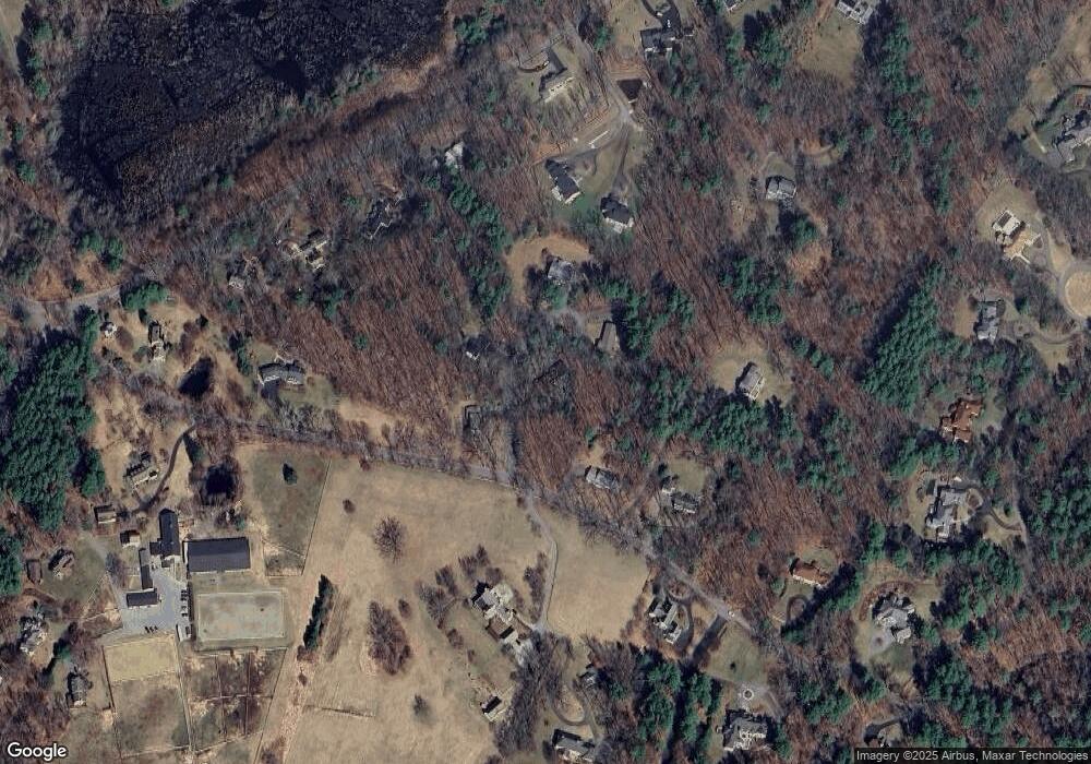
Map
Nearby Homes
- 853 Strawberry Hill Rd
- 104 Channing Rd
- 134 Pope Rd
- 110 Spencer Brook Rd
- 107 Westford Rd
- 11 Davis Rd Unit A5
- 15 Davis Rd Unit B-8
- 1 Bayberry Rd
- 709 Main St
- 495 Hugh Cargill Rd
- 380A Great Rd Unit 301
- 388 Great Rd Unit B14
- 386 Great Rd Unit A8
- 79-81 Assabet Ave
- 524 Main St
- 390 Great Rd Unit B16
- 491 Main St
- 101 Adams Rd
- 245 Oak Hill Cir
- 5 Samantha Way Unit 5
- 5 Simon Hapgood Ln
- 6 Simon Hapgood Ln
- 6 Simon Hapgood Ln
- 4 Simon Hapgood Ln
- 2 Simon Hapgood Ln
- 150 Strawberry Hill Rd
- 2 Simon Hapgood Ln
- 862 Strawberry Hill Rd
- 874 Strawberry Hill Rd
- 145 Strawberry Hill Rd
- 247 & 249 Pope Rd
- 219 Pope Rd
- 221 Pope Rd
- 136 Strawberry Hill Rd
- 211 Pope Rd
- 237 Pope Rd
- 283 Pope Rd
- 205 Pope Rd
- 217 Pope Rd
- 855 Strawberry Hill Rd
Your Personal Tour Guide
Ask me questions while you tour the home.