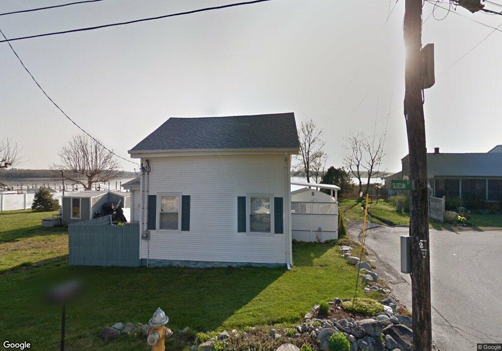
1 Slocum St Bristol, RI 02809
Northeast Bristol NeighborhoodEstimated Value: $445,000 - $982,000
2
Beds
1
Bath
952
Sq Ft
$670/Sq Ft
Est. Value
About This Home
This home is located at 1 Slocum St, Bristol, RI 02809 and is currently estimated at $638,262, approximately $670 per square foot. 1 Slocum St is a home located in Bristol County with nearby schools including Mt. Hope High School, Highlander Charter Middle and High School, and East Bay Career Academy.
Ownership History
Date
Name
Owned For
Owner Type
Purchase Details
Closed on
Sep 20, 2019
Sold by
Hanon Sharon A
Bought by
Capozzoli Ft
Current Estimated Value
Purchase Details
Closed on
Aug 20, 2019
Sold by
Capozzoli Ft
Bought by
Hanon Sharon A
Purchase Details
Closed on
Jun 30, 2019
Sold by
Capozzoli Josephine and Capozzoli Salvatore
Bought by
Capozzoli Ft
Create a Home Valuation Report for This Property
The Home Valuation Report is an in-depth analysis detailing your home's value as well as a comparison with similar homes in the area
Home Values in the Area
Average Home Value in this Area
Purchase History
| Date | Buyer | Sale Price | Title Company |
|---|---|---|---|
| Capozzoli Ft | -- | -- | |
| Hanon Sharon A | -- | -- | |
| Capozzoli Ft | -- | -- | |
| Capozzoli Josephine | -- | -- |
Source: Public Records
Tax History Compared to Growth
Tax History
| Year | Tax Paid | Tax Assessment Tax Assessment Total Assessment is a certain percentage of the fair market value that is determined by local assessors to be the total taxable value of land and additions on the property. | Land | Improvement |
|---|---|---|---|---|
| 2025 | $8,032 | $581,200 | $431,500 | $149,700 |
| 2024 | $8,032 | $581,200 | $431,500 | $149,700 |
| 2023 | $7,765 | $581,200 | $431,500 | $149,700 |
| 2022 | $7,556 | $581,200 | $431,500 | $149,700 |
| 2021 | $7,069 | $491,600 | $384,700 | $106,900 |
| 2020 | $6,917 | $491,600 | $384,700 | $106,900 |
| 2019 | $6,745 | $491,600 | $384,700 | $106,900 |
| 2018 | $8,233 | $535,300 | $436,500 | $98,800 |
| 2017 | $6,756 | $452,800 | $369,200 | $83,600 |
| 2016 | $6,688 | $452,800 | $369,200 | $83,600 |
| 2015 | $6,353 | $452,800 | $369,200 | $83,600 |
| 2014 | $5,723 | $438,240 | $375,200 | $63,040 |
Source: Public Records
Map
Nearby Homes
- 7 Broadview Ave
- 4 Read Ave
- 0 Overhill Rd Unit 1382248
- 3 Betsy Dr
- 1 Betsy Dr
- 85 Canario Dr
- 16 Smith St
- 683 Metacom Ave Unit 79
- 0 Barton Ave
- 669 Metacom Ave Unit 17
- 25 Asylum Rd
- 22 Harrison St
- 17 Colonial Dr
- 397 Child St
- 35 Bagy Wrinkle Cove
- 48 Narrows Rd
- 9 Kenny Dr
- 510 Child St Unit 303A
- 510 Child St Unit 105B
- 510 Child St Unit 201C
- 2 Riverview Ave
- 2 Slocum St
- 5 Slocum St
- 1 Hawthorne Ave
- 1 Riverview Ave
- 4 Slocum St
- 3 Hawthorne Ave
- 5 Riverview Ave
- 6 Riverview Ave
- 9 Slocum St
- 30 Pawtucket Ave
- 5 Hawthorne Ave
- 90 Butterworth Ave
- 10 Slocum St
- 4 Hawthorne Ave
- 0 Riverview Ave
- 7 Hawthorne Ave
- 11 Riverview Ave
- 8 Riverview Ave
- 14 Slocum St