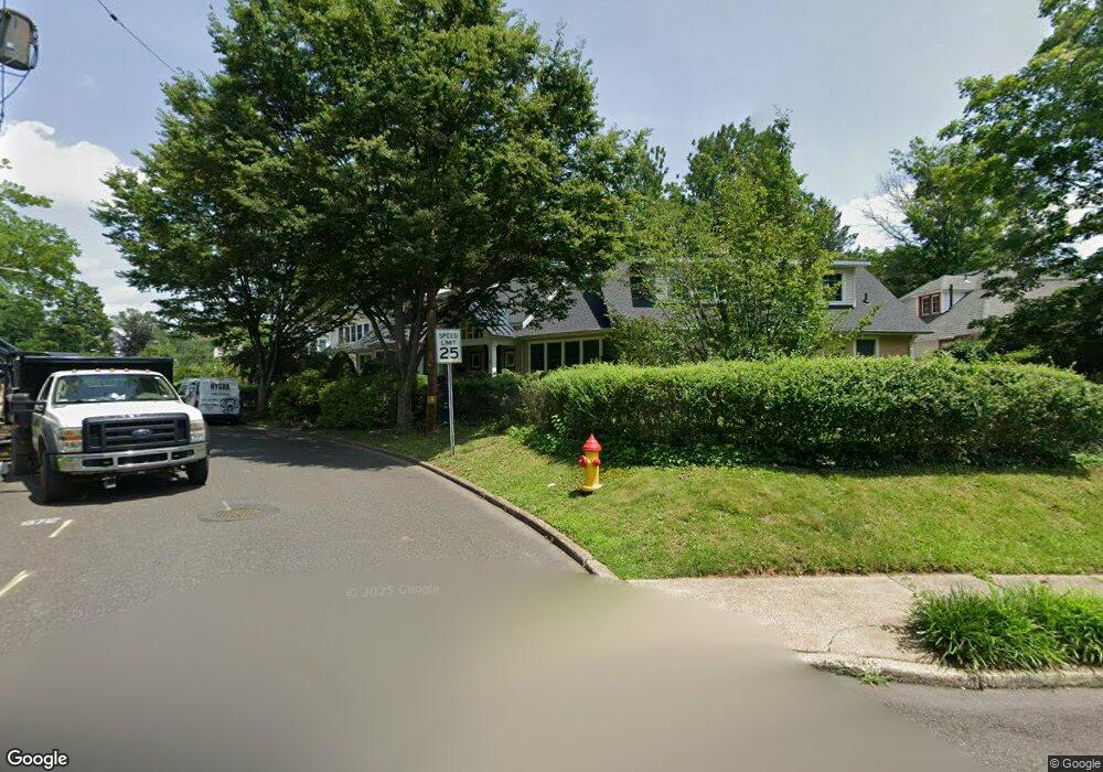
1 Spruce St Doylestown, PA 18901
Estimated Value: $1,055,000 - $1,350,000
4
Beds
3
Baths
2,660
Sq Ft
$450/Sq Ft
Est. Value
About This Home
This home is located at 1 Spruce St, Doylestown, PA 18901 and is currently estimated at $1,197,443, approximately $450 per square foot. 1 Spruce St is a home located in Bucks County with nearby schools including Linden El School, Lenape Middle School, and Central Bucks High School-West.
Ownership History
Date
Name
Owned For
Owner Type
Purchase Details
Closed on
Feb 27, 2004
Sold by
Pool Janet H
Bought by
Devlin John O and Devlin Maureen R
Current Estimated Value
Home Financials for this Owner
Home Financials are based on the most recent Mortgage that was taken out on this home.
Original Mortgage
$444,000
Outstanding Balance
$207,506
Interest Rate
5.67%
Mortgage Type
Purchase Money Mortgage
Estimated Equity
$989,937
Purchase Details
Closed on
Feb 5, 2003
Sold by
Eckert Mary W
Bought by
Pool Janet H
Home Financials for this Owner
Home Financials are based on the most recent Mortgage that was taken out on this home.
Original Mortgage
$100,000
Interest Rate
5.88%
Create a Home Valuation Report for This Property
The Home Valuation Report is an in-depth analysis detailing your home's value as well as a comparison with similar homes in the area
Home Values in the Area
Average Home Value in this Area
Purchase History
| Date | Buyer | Sale Price | Title Company |
|---|---|---|---|
| Devlin John O | $785,000 | -- | |
| Pool Janet H | $356,000 | -- |
Source: Public Records
Mortgage History
| Date | Status | Borrower | Loan Amount |
|---|---|---|---|
| Open | Devlin John O | $444,000 | |
| Previous Owner | Pool Janet H | $100,000 |
Source: Public Records
Tax History
| Year | Tax Paid | Tax Assessment Tax Assessment Total Assessment is a certain percentage of the fair market value that is determined by local assessors to be the total taxable value of land and additions on the property. | Land | Improvement |
|---|---|---|---|---|
| 2025 | $9,089 | $50,450 | $10,520 | $39,930 |
| 2024 | $9,089 | $50,450 | $10,520 | $39,930 |
| 2023 | $8,659 | $50,450 | $10,520 | $39,930 |
| 2022 | $8,539 | $50,450 | $10,520 | $39,930 |
| 2021 | $8,445 | $50,450 | $10,520 | $39,930 |
| 2020 | $8,352 | $50,450 | $10,520 | $39,930 |
| 2019 | $8,260 | $50,450 | $10,520 | $39,930 |
| 2018 | $8,159 | $50,450 | $10,520 | $39,930 |
| 2017 | $8,073 | $50,450 | $10,520 | $39,930 |
| 2016 | $8,073 | $50,450 | $10,520 | $39,930 |
| 2015 | -- | $50,450 | $10,520 | $39,930 |
| 2014 | -- | $50,450 | $10,520 | $39,930 |
Source: Public Records
Map
Nearby Homes
- 146 E Court St
- 9 Maple Ln
- 110 E Ashland St
- 150 Selner Ln
- 69 E Oakland Ave
- 169 N Main St
- 102 Clear Springs Ct
- 236 Green St
- 5 Belmont Square
- 607 S Chubb Dr
- 34 Houk Rd
- 190 Decatur St
- 45 Springs Dr
- 195 Lafayette St
- 215 N Franklin St
- 1 Steeplechase Dr
- 6 Edison Ln Unit 1
- 000 Cherry Ln
- 807 N Broad St
- 223 Cherry Ln
Your Personal Tour Guide
Ask me questions while you tour the home.