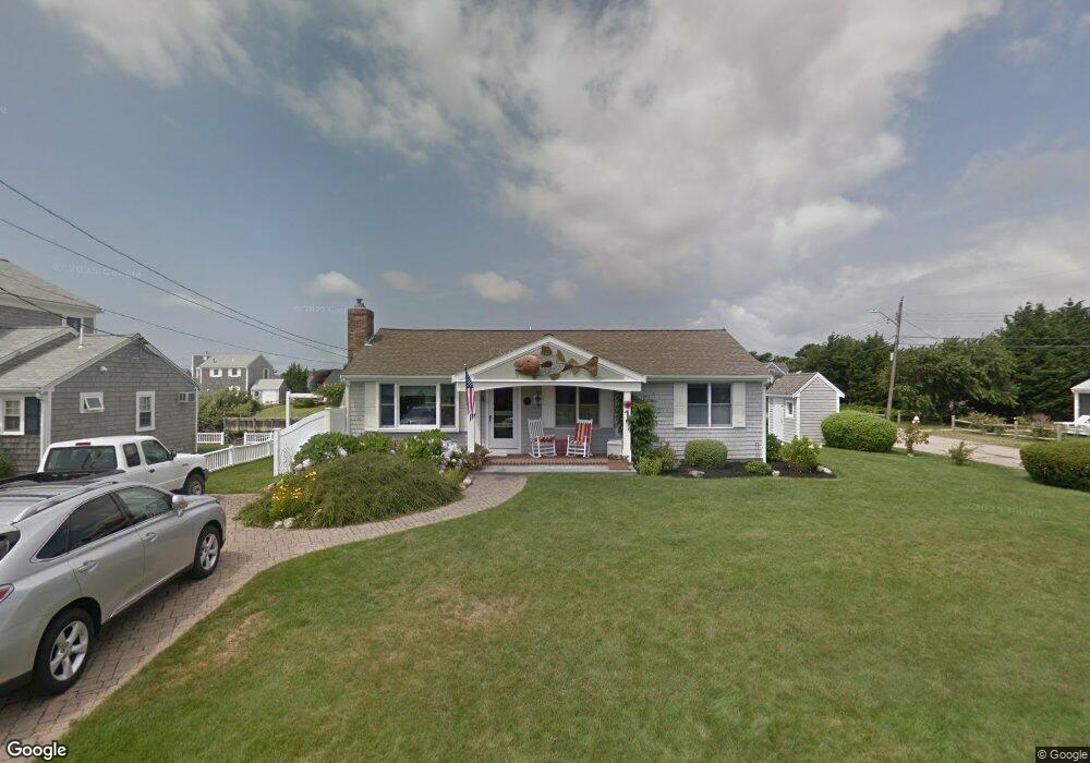
1 Starboard Ln West Dennis, MA 2670
West Dennis NeighborhoodEstimated Value: $1,471,000 - $1,870,000
3
Beds
2
Baths
1,001
Sq Ft
$1,620/Sq Ft
Est. Value
About This Home
This home is located at 1 Starboard Ln, West Dennis, MA 2670 and is currently estimated at $1,621,539, approximately $1,619 per square foot. 1 Starboard Ln is a home located in Barnstable County with nearby schools including Dennis-Yarmouth Regional High School and St. Pius X. School.
Ownership History
Date
Name
Owned For
Owner Type
Purchase Details
Closed on
Dec 17, 1996
Sold by
Henry M Coughlin Nt
Bought by
Henderson Alfred H and Henderson Ruth M
Current Estimated Value
Create a Home Valuation Report for This Property
The Home Valuation Report is an in-depth analysis detailing your home's value as well as a comparison with similar homes in the area
Home Values in the Area
Average Home Value in this Area
Purchase History
| Date | Buyer | Sale Price | Title Company |
|---|---|---|---|
| Henderson Alfred H | $61,500 | -- | |
| Kelly John P | $212,250 | -- |
Source: Public Records
Mortgage History
| Date | Status | Borrower | Loan Amount |
|---|---|---|---|
| Open | Kelly John P | $200,000 | |
| Closed | Kelly John P | $163,558 |
Source: Public Records
Tax History Compared to Growth
Tax History
| Year | Tax Paid | Tax Assessment Tax Assessment Total Assessment is a certain percentage of the fair market value that is determined by local assessors to be the total taxable value of land and additions on the property. | Land | Improvement |
|---|---|---|---|---|
| 2025 | $6,550 | $1,512,800 | $1,019,700 | $493,100 |
| 2024 | $6,311 | $1,437,500 | $980,700 | $456,800 |
| 2023 | $6,103 | $1,306,900 | $891,500 | $415,400 |
| 2022 | $4,789 | $855,100 | $550,700 | $304,400 |
| 2021 | $4,919 | $815,700 | $539,900 | $275,800 |
| 2020 | $4,843 | $794,000 | $539,900 | $254,100 |
| 2019 | $4,632 | $750,700 | $529,300 | $221,400 |
| 2018 | $4,952 | $781,100 | $577,400 | $203,700 |
| 2017 | $4,635 | $753,600 | $556,300 | $197,300 |
| 2016 | $5,041 | $771,900 | $603,600 | $168,300 |
| 2015 | $4,940 | $771,900 | $603,600 | $168,300 |
| 2014 | $4,902 | $771,900 | $603,600 | $168,300 |
Source: Public Records
Map
Nearby Homes
- 2 Rita Mary Way
- 14 Schoolhouse Ln
- 178 School St
- 209 Main St Unit 3
- 209 Main St Unit 6
- 209 Main St Unit 1
- 209 Main St Unit 2
- 209 Main St Unit 4
- 209 Main St Unit 5
- 23 Doric Ave
- 181 Pleasant St
- 308 Old Main St
- 45 Seth Ln
- 401 Main St Unit 201
- 401 Main St Unit 101
- 40 Kelley Rd
- 745 Willow St
- 467 Main St
- 29 Bass River Rd
- 22 Powhatan Rd
- 5 Starboard Ln
- 17 Surfside Rd
- 20 Surfside Rd
- 24 Surfside Rd
- 2 Starboard Way
- 16 Surfside Rd
- 6 Starboard Ln
- 28 Surfside Rd
- 2 Captain Doane Way
- 9 Starboard Ln
- 19 Shore Rd
- 6 Captain Doane Way
- 23 Shore Rd
- 12 Surfside Rd
- 15 Shore Rd
- 10 Starboard Ln
- 27 Shore Rd
- 32 Surfside Rd
- 10 Captain Doane Way
- 13 Starboard Ln