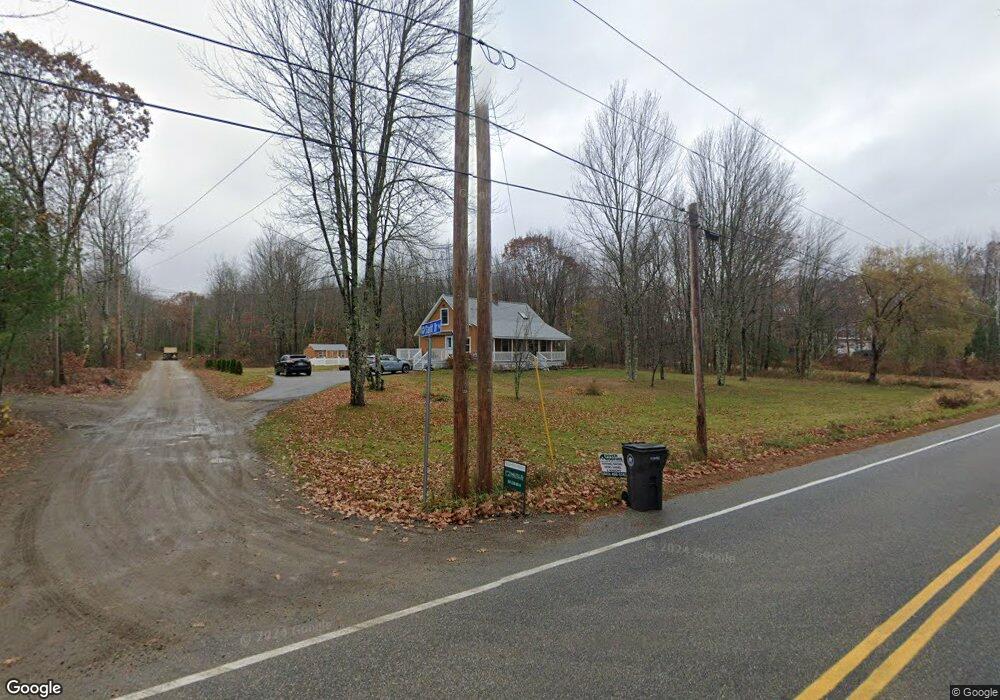
1 Starlit Dr Kennebunk, ME 04043
Estimated Value: $523,906 - $593,000
3
Beds
2
Baths
1,382
Sq Ft
$400/Sq Ft
Est. Value
About This Home
This home is located at 1 Starlit Dr, Kennebunk, ME 04043 and is currently estimated at $552,727, approximately $399 per square foot. 1 Starlit Dr is a home located in York County with nearby schools including Kennebunk High School and The New School.
Ownership History
Date
Name
Owned For
Owner Type
Purchase Details
Closed on
May 1, 2024
Sold by
Higgins Susan L
Bought by
Bogucki Arianna
Current Estimated Value
Home Financials for this Owner
Home Financials are based on the most recent Mortgage that was taken out on this home.
Original Mortgage
$365,750
Outstanding Balance
$360,612
Interest Rate
6.87%
Mortgage Type
Purchase Money Mortgage
Estimated Equity
$192,115
Purchase Details
Closed on
Jan 31, 2006
Sold by
Downing Re Agency Inc
Bought by
Higgins Susan L
Home Financials for this Owner
Home Financials are based on the most recent Mortgage that was taken out on this home.
Original Mortgage
$206,000
Interest Rate
6.34%
Mortgage Type
Purchase Money Mortgage
Create a Home Valuation Report for This Property
The Home Valuation Report is an in-depth analysis detailing your home's value as well as a comparison with similar homes in the area
Home Values in the Area
Average Home Value in this Area
Purchase History
| Date | Buyer | Sale Price | Title Company |
|---|---|---|---|
| Bogucki Arianna | $522,500 | None Available | |
| Higgins Susan L | -- | -- |
Source: Public Records
Mortgage History
| Date | Status | Borrower | Loan Amount |
|---|---|---|---|
| Open | Bogucki Arianna | $365,750 | |
| Previous Owner | Higgins Susan L | $206,000 |
Source: Public Records
Tax History Compared to Growth
Tax History
| Year | Tax Paid | Tax Assessment Tax Assessment Total Assessment is a certain percentage of the fair market value that is determined by local assessors to be the total taxable value of land and additions on the property. | Land | Improvement |
|---|---|---|---|---|
| 2024 | $4,332 | $255,600 | $90,200 | $165,400 |
| 2023 | $4,102 | $255,600 | $90,200 | $165,400 |
| 2022 | $3,732 | $255,600 | $90,200 | $165,400 |
| 2021 | $3,642 | $255,600 | $90,200 | $165,400 |
| 2020 | $3,799 | $255,600 | $90,200 | $165,400 |
| 2019 | $35,330 | $255,600 | $90,200 | $165,400 |
| 2018 | $3,355 | $191,700 | $67,600 | $124,100 |
| 2017 | $0 | $191,700 | $67,600 | $124,100 |
| 2016 | $3,048 | $191,700 | $67,600 | $124,100 |
| 2015 | $2,933 | $191,700 | $67,600 | $124,100 |
| 2014 | $2,856 | $191,700 | $67,600 | $124,100 |
Source: Public Records
Map
Nearby Homes
- 141 Thompson Rd
- 24-4,25-10 Chapman Ln
- 0 Potvin Rd
- 9 Patterson Dr
- 4 Furbish Ln
- lot #3 Salvato Ln
- 4 Millstone Ln
- 274 Alfred Rd
- 30 Twine Mill Rd
- 276 Alfred Rd
- 5 Meander Ln Unit 2
- 284 Alfred Rd Unit Lot F13
- 20 Cascade Cir Unit 11
- 18 Cascade Cir Unit 12
- 23 Cascade Cir Unit 22
- 7 Meander Ln Unit 3
- 19 Old Alewive Rd
- 1 Dogwood Cir
- 13 Tranquility Dr Unit 20
- 12 Tranquility Dr Unit 17
- 1 Starlit Dr
- 133 Thompson Rd
- 133 Thompson Rd
- 00-B Starlit Dr Unit Parcel B
- 2 Starlit Dr
- 2 Starlit Dr
- 00 Starlit Dr
- o Thompson Rd
- 00 Thompson Rd
- 119 Thompson Rd
- 3 Sicilian Way
- 6 Sisu Way
- LOT 1 Never Judy's Way
- lot 1A Never Judy's Way
- 137 Thompson Rd
- 7 Sisu Way
- 159 Thompson Rd
- 2A Never Judy's Way
- 91 Thompson Rd
- 37 Never Judys Way