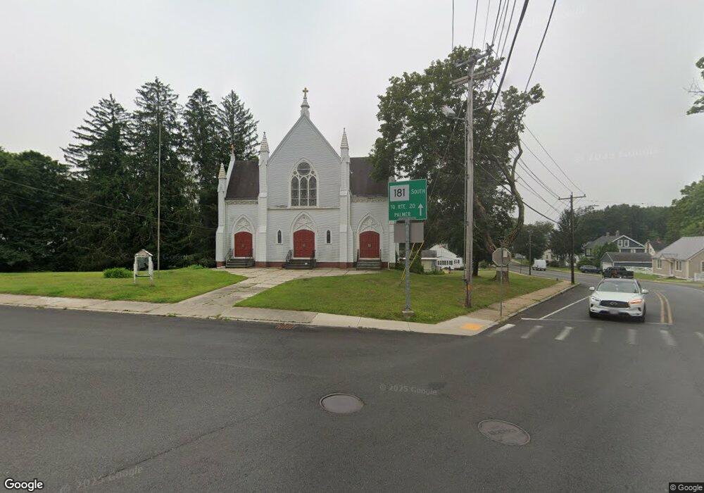
1 State St Palmer, MA 01069
Estimated Value: $187,083
3
Beds
2
Baths
9,384
Sq Ft
$20/Sq Ft
Est. Value
About This Home
This home is located at 1 State St, Palmer, MA 01069 and is currently estimated at $187,083, approximately $19 per square foot. 1 State St is a home located in Hampden County with nearby schools including Old Mill Pond Elementary School, Palmer High School, and Converse Middle School.
Ownership History
Date
Name
Owned For
Owner Type
Purchase Details
Closed on
Jun 4, 2025
Sold by
Westmass Area Dev Corp
Bought by
Nrb Realty Llc
Current Estimated Value
Purchase Details
Closed on
Dec 28, 2023
Sold by
Westmass Area Dev Corp
Bought by
Brownbox Properties Llc
Purchase Details
Closed on
Jun 30, 2023
Sold by
Ozcelik Steve and Ozcelik Nuray
Bought by
Makori Winfridah M
Home Financials for this Owner
Home Financials are based on the most recent Mortgage that was taken out on this home.
Original Mortgage
$310,000
Interest Rate
6.57%
Mortgage Type
Purchase Money Mortgage
Purchase Details
Closed on
Mar 20, 2018
Sold by
Roman Cath Bishop Of S
Bought by
Ozcelik Steve and Ozcelik Nuray
Create a Home Valuation Report for This Property
The Home Valuation Report is an in-depth analysis detailing your home's value as well as a comparison with similar homes in the area
Home Values in the Area
Average Home Value in this Area
Purchase History
| Date | Buyer | Sale Price | Title Company |
|---|---|---|---|
| Nrb Realty Llc | $372,000 | None Available | |
| Nrb Realty Llc | $372,000 | None Available | |
| Nrb Realty Llc | $372,000 | None Available | |
| Brownbox Properties Llc | $165,000 | None Available | |
| Brownbox Properties Llc | $165,000 | None Available | |
| Brownbox Properties Llc | $165,000 | None Available | |
| Makori Winfridah M | $340,000 | None Available | |
| Makori Winfridah M | $340,000 | None Available | |
| Makori Winfridah M | $340,000 | None Available | |
| Ozcelik Steve | $40,000 | -- | |
| Ozcelik Steve | $40,000 | -- | |
| Ozcelik Steve | $40,000 | -- |
Source: Public Records
Mortgage History
| Date | Status | Borrower | Loan Amount |
|---|---|---|---|
| Previous Owner | Makori Winfridah M | $310,000 | |
| Previous Owner | Ozcelik Steve | $1,452,587 |
Source: Public Records
Tax History
| Year | Tax Paid | Tax Assessment Tax Assessment Total Assessment is a certain percentage of the fair market value that is determined by local assessors to be the total taxable value of land and additions on the property. | Land | Improvement |
|---|---|---|---|---|
| 2025 | $1,859 | $97,900 | $24,000 | $73,900 |
| 2024 | $1,727 | $89,000 | $21,800 | $67,200 |
| 2023 | $1,685 | $82,900 | $21,800 | $61,100 |
| 2022 | $1,718 | $76,200 | $19,100 | $57,100 |
| 2021 | $1,737 | $73,400 | $21,100 | $52,300 |
| 2020 | $1,754 | $73,400 | $21,100 | $52,300 |
| 2019 | $2,875 | $73,400 | $21,100 | $52,300 |
| 2018 | $2,805 | $97,900 | $20,500 | $77,400 |
| 2017 | $2,160 | $97,900 | $20,500 | $77,400 |
| 2016 | $3,350 | $151,400 | $19,900 | $131,500 |
| 2015 | $3,246 | $151,400 | $19,900 | $131,500 |
Source: Public Records
Map
Nearby Homes
- 87-12 State St
- 3072 Main St Unit 3072
- 61 Fuller Rd
- Lot 87-12 State St
- 0 South St
- 4 Sunny Crest Ln
- 6 High Bluff Rd
- 8 Summit Dr
- 31 High Bluff Rd
- 23 High Bluff Rd
- 15 High Bluff Rd
- 7 High Bluff Rd
- 70 Summer St
- 3057 Foster St
- 4188 Main St
- 521 N Liberty St
- 34 Commercial St
- 0 Michael Sears Rd
- 204 Bourne St
- 2173 Main St
- 0 State Road (Ws) L:a Unit 71086762
- Parc 91-45 Main St
- 0 State Road (Ws) L:a Unit 71101366
- L46-47-48 Main St
- 3021 S Main St
- 3021 S Main St
- 3006-3008 S Palmer St
- 2 State St
- 3002-3004 Main St
- 3025 S Main St
- 3025 S Palmer St
- 68 State St
- 20 High St
- 20 S High St
- 3024 Main St
- 3026 S Main St
- 10 State St Unit 12
- 10 State St Unit 12
- 10 State St
- 3141-3 Main St
Your Personal Tour Guide
Ask me questions while you tour the home.