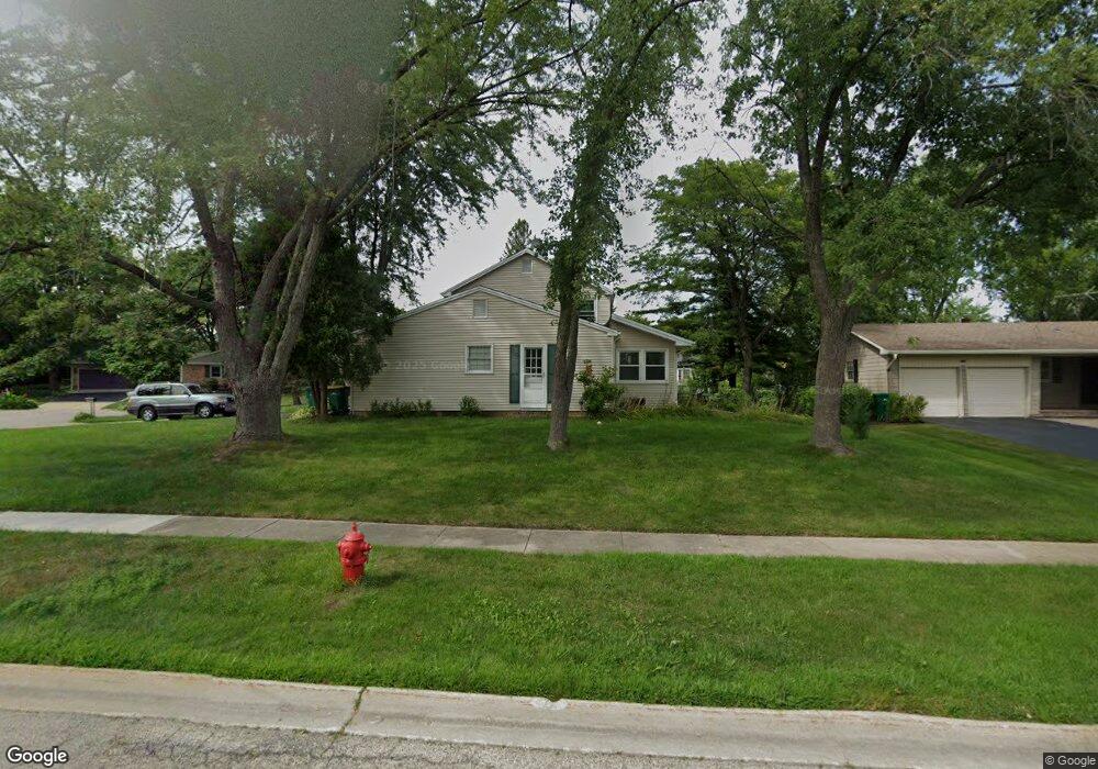
1 Stonegate Ct Buffalo Grove, IL 60089
South Buffalo Grove NeighborhoodEstimated Value: $468,000 - $530,000
4
Beds
4
Baths
2,218
Sq Ft
$228/Sq Ft
Est. Value
About This Home
This home is located at 1 Stonegate Ct, Buffalo Grove, IL 60089 and is currently estimated at $505,358, approximately $227 per square foot. 1 Stonegate Ct is a home located in Cook County with nearby schools including Henry W Longfellow Elementary School, Cooper Middle School, and Buffalo Grove High School.
Ownership History
Date
Name
Owned For
Owner Type
Purchase Details
Closed on
Nov 21, 2012
Sold by
Womack John J
Bought by
Kim Stephan and Kim Lynda D
Current Estimated Value
Home Financials for this Owner
Home Financials are based on the most recent Mortgage that was taken out on this home.
Original Mortgage
$347,646
Interest Rate
3.38%
Mortgage Type
FHA
Purchase Details
Closed on
Sep 11, 2009
Sold by
Williams Michael J and Williams Elaine
Bought by
Kim Stephan and Kim Lynda D
Home Financials for this Owner
Home Financials are based on the most recent Mortgage that was taken out on this home.
Original Mortgage
$356,125
Interest Rate
5.38%
Mortgage Type
FHA
Create a Home Valuation Report for This Property
The Home Valuation Report is an in-depth analysis detailing your home's value as well as a comparison with similar homes in the area
Home Values in the Area
Average Home Value in this Area
Purchase History
| Date | Buyer | Sale Price | Title Company |
|---|---|---|---|
| Kim Stephan | -- | None Available | |
| Kim Stephan | $390,000 | Premier Title |
Source: Public Records
Mortgage History
| Date | Status | Borrower | Loan Amount |
|---|---|---|---|
| Previous Owner | Kim Stephan | $347,646 | |
| Previous Owner | Kim Stephan | $356,125 |
Source: Public Records
Tax History
| Year | Tax Paid | Tax Assessment Tax Assessment Total Assessment is a certain percentage of the fair market value that is determined by local assessors to be the total taxable value of land and additions on the property. | Land | Improvement |
|---|---|---|---|---|
| 2025 | $11,101 | $48,000 | $10,962 | $37,038 |
| 2024 | $11,101 | $38,000 | $9,396 | $28,604 |
| 2023 | $10,648 | $38,000 | $9,396 | $28,604 |
| 2022 | $10,648 | $38,000 | $9,396 | $28,604 |
| 2021 | $9,846 | $31,200 | $6,003 | $25,197 |
| 2020 | $9,660 | $31,200 | $6,003 | $25,197 |
| 2019 | $9,648 | $34,590 | $6,003 | $28,587 |
| 2018 | $11,117 | $35,717 | $5,220 | $30,497 |
| 2017 | $10,933 | $35,717 | $5,220 | $30,497 |
| 2016 | $10,433 | $35,717 | $5,220 | $30,497 |
| 2015 | $9,595 | $30,866 | $4,437 | $26,429 |
| 2014 | $9,454 | $30,866 | $4,437 | $26,429 |
| 2013 | $8,721 | $30,866 | $4,437 | $26,429 |
Source: Public Records
Map
Nearby Homes
- 915 Plum Grove Cir
- 267 Timber Hill Rd
- 170 Cherrywood Rd
- 610 Maple Dr
- 252 Appletree Ct
- 225 Thornapple Ct Unit 225
- 462 Longwood Dr
- 858 Old Checker Rd Unit C4
- 4210 N Walnut Ave
- 571 Estate Dr
- 1096 Beechwood Rd
- 632 Weidner Rd
- 440 Burnt Ember Ln
- 612 White Pine Rd
- 876 Stradford Cir Unit A1
- 170 Manchester Dr Unit 306
- 232 Manor Dr Unit 12C
- 800 Weidner Rd Unit 208
- 760 Weidner Rd Unit 107
- 820 Weidner Rd Unit 4013
- 102 Stonegate Rd
- 2 Stonegate Ct
- 100 Stonegate Rd
- 62 Timber Hill Rd Unit 3
- 105 Stonegate Rd
- 103 Stonegate Rd
- 3 Stonegate Ct
- 50 Timber Hill Rd
- 68 Timber Hill Rd
- 107 Stonegate Rd
- 101 Stonegate Rd
- 48 Timber Hill Rd
- 106 Stonegate Rd
- 106 Stonegate Rd
- 4 Stonegate Ct
- 4 Stonegate Ct
- 99 Stonegate Rd
- 109 Stonegate Rd
- 46 Timber Hill Rd
- 904 Country Ln