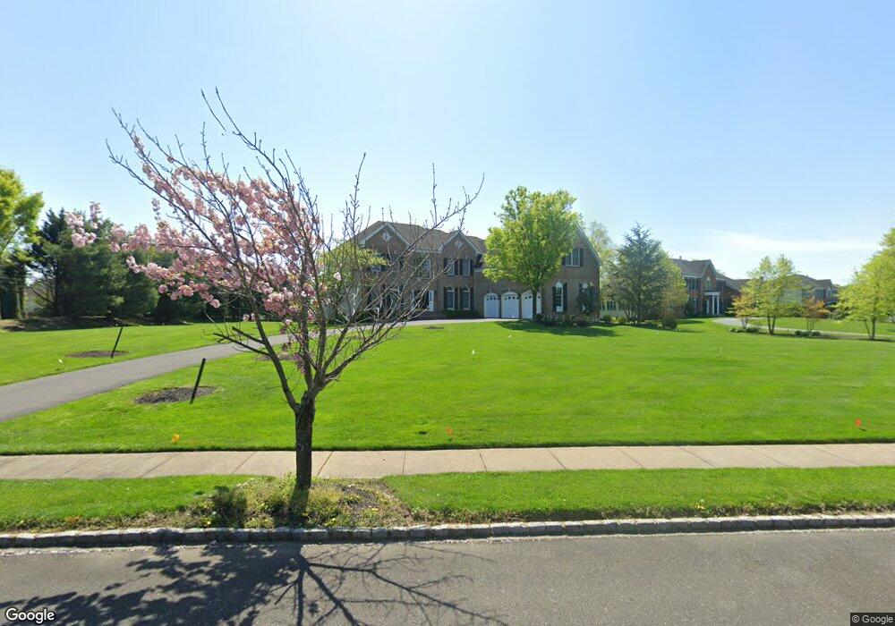
1 Stratton Dr Moorestown, NJ 08057
Estimated Value: $1,242,208 - $1,655,000
Studio
--
Bath
4,398
Sq Ft
$322/Sq Ft
Est. Value
About This Home
This home is located at 1 Stratton Dr, Moorestown, NJ 08057 and is currently estimated at $1,417,069, approximately $322 per square foot. 1 Stratton Dr is a home located in Burlington County with nearby schools including South Valley Elementary School, Moorestown Upper Elementary School, and William Allen Middle School.
Ownership History
Date
Name
Owned For
Owner Type
Purchase Details
Closed on
May 30, 2003
Sold by
Toll Nj Ii Lp
Bought by
Cane Michael E and Cane Renee G
Current Estimated Value
Home Financials for this Owner
Home Financials are based on the most recent Mortgage that was taken out on this home.
Original Mortgage
$375,000
Outstanding Balance
$164,149
Interest Rate
5.77%
Mortgage Type
Purchase Money Mortgage
Estimated Equity
$1,252,920
Create a Home Valuation Report for This Property
The Home Valuation Report is an in-depth analysis detailing your home's value as well as a comparison with similar homes in the area
Home Values in the Area
Average Home Value in this Area
Purchase History
| Date | Buyer | Sale Price | Title Company |
|---|---|---|---|
| Cane Michael E | $662,067 | -- |
Source: Public Records
Mortgage History
| Date | Status | Borrower | Loan Amount |
|---|---|---|---|
| Open | Cane Michael E | $375,000 |
Source: Public Records
Tax History
| Year | Tax Paid | Tax Assessment Tax Assessment Total Assessment is a certain percentage of the fair market value that is determined by local assessors to be the total taxable value of land and additions on the property. | Land | Improvement |
|---|---|---|---|---|
| 2025 | $23,124 | $815,100 | $238,800 | $576,300 |
| 2024 | $22,423 | $815,100 | $238,800 | $576,300 |
| 2023 | $22,423 | $815,100 | $238,800 | $576,300 |
| 2022 | $22,195 | $815,100 | $238,800 | $576,300 |
| 2021 | $21,902 | $815,100 | $238,800 | $576,300 |
| 2020 | $21,763 | $815,100 | $238,800 | $576,300 |
| 2019 | $21,380 | $815,100 | $238,800 | $576,300 |
| 2018 | $20,801 | $815,100 | $238,800 | $576,300 |
| 2017 | $20,981 | $815,100 | $238,800 | $576,300 |
| 2016 | $20,907 | $815,100 | $238,800 | $576,300 |
| 2015 | $20,655 | $815,100 | $238,800 | $576,300 |
| 2014 | $19,611 | $815,100 | $238,800 | $576,300 |
Source: Public Records
Map
Nearby Homes
- 712 Kimberly Dr
- 801 Cox Rd
- 740 Garwood Rd
- 751 Garwood Rd
- 2 Millers Run
- 121 Congressional Ct
- 115 Congressional Ct
- 4 Weatherly Rd
- 265 Rosebay Ct Unit 265
- 2 Bayberry Ln
- 720 Mcelwee Rd
- 88 Foxglove Dr Unit 88
- 901 Mcelwee Rd
- 44 Foxglove Dr Unit CO44
- 27 Foxglove Dr Unit 27
- 19 Foxglove Dr Unit 19
- 3 Dewberry Ln
- 49 Brooks Rd
- 0 0 Swarthmore Dr
- 4304 Bridgeboro Rd
- 718 Bentley Ct
- 722 Bentley Ct
- 700 Kimberly Dr
- 735 Hartford Rd Unit RD2
- 713 Bentley Ct
- 714 Bentley Ct
- 739 Hartford Rd Unit RD2
- 701 Kimberly Dr
- 717 Bentley Ct
- 709 Bentley Ct
- 726 Bentley Ct
- 710 Bentley Ct
- 755 Hartford Rd
- 705 Bentley Ct
- 708 Kimberly Dr
- 705 Kimberly Dr
- 721 Bentley Ct
- 651 Hartford Rd Unit RD2
- 751 Hartford Rd
- 730 Bentley Ct
Your Personal Tour Guide
Ask me questions while you tour the home.